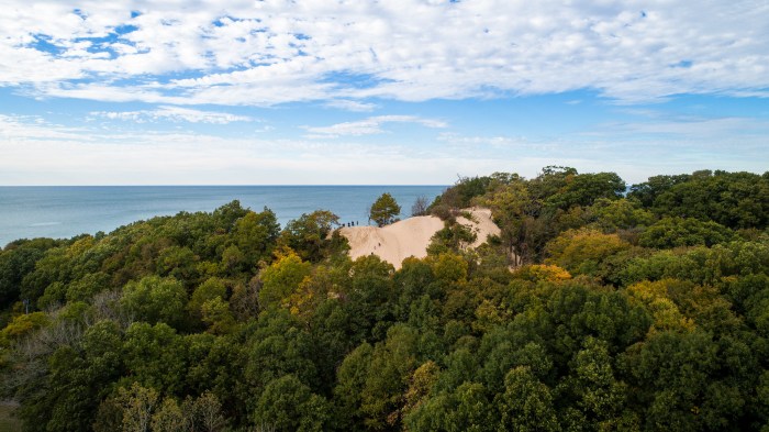
Dune Climbers by Bill Dolak
The Michigan DNR has announced that although state parks and recreation areas remain open to provide residents with local opportunities to get outdoors, extensive travel should be minimal & effective social distancing is required so that unsafe conditions do not develop and state-managed lands can remain open.
“We are doing everything possible to protect the health and safety of visitors and staff at state parks and recreation areas,” said DNR Director Dan Eichinger. “No matter how people are choosing to get outdoors, it is critical that everyone follows the social distancing guidelines. If they don’t, we will be forced to close public access to all state-managed lands.”
Closures and reduction in services include
Many park amenities have been closed in order to minimize the chance of people gathering in groups and/or maximize the environment for effective social distancing. Current closures include, but are not limited to, concessions, playgrounds and play equipment, viewing platforms, fishing piers, GaGa ball bits, volleyball and basketball courts, designated dog areas, disc golf courses, radio-controlled flying fields, pump tracks, and picnic tables and shelters.
All bathroom buildings and vault toilets will be closed in all state parks and recreation areas, including those at campgrounds, boating access sites, trailheads at state-designated trails, etc. People are encouraged to plan accordingly to avoid needing a restroom during a visit. Note: Over the next few days, vault toilets will be closing. Many locations, where available, will be transitioning to portable toilets that will be cleaned by local vendors.
There will be minimal trash service available. Visitors are encouraged to bring trash bags, if needed, to carry trash home and minimize litter.
No hand washing stations will be provided. Please carry hand sanitizer or sanitizing wipes containing at least 60% alcohol, as well as trash bags to carry out used wipes.
Additionally, grooming of snowmobile trails (the season closes March 31) and grooming, brushing, grading and clearing of all nonmotorized trails and ORV trails are suspended until at least the end of the order. When out on any trail, be aware of surroundings, including the potential for washouts or debris. To report anything that could be a risk to other trail users, call 517-331-0111.
Follow the DNR’s COVID-19 response webpage for the latest closure information related to events, meetings and facilities, including campgrounds, harbors and other sites.
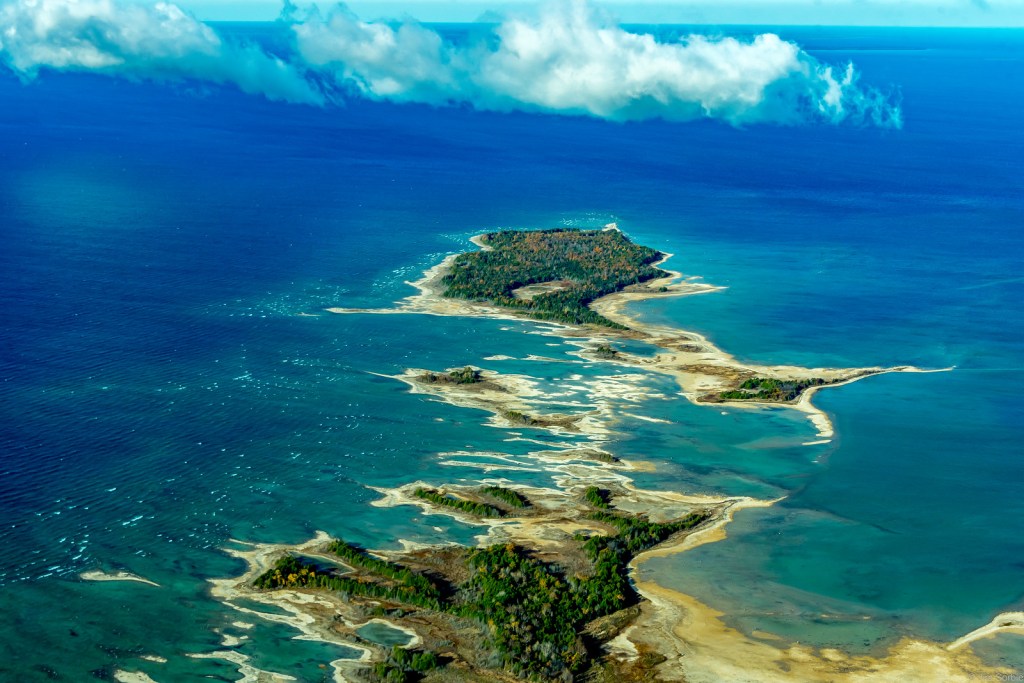
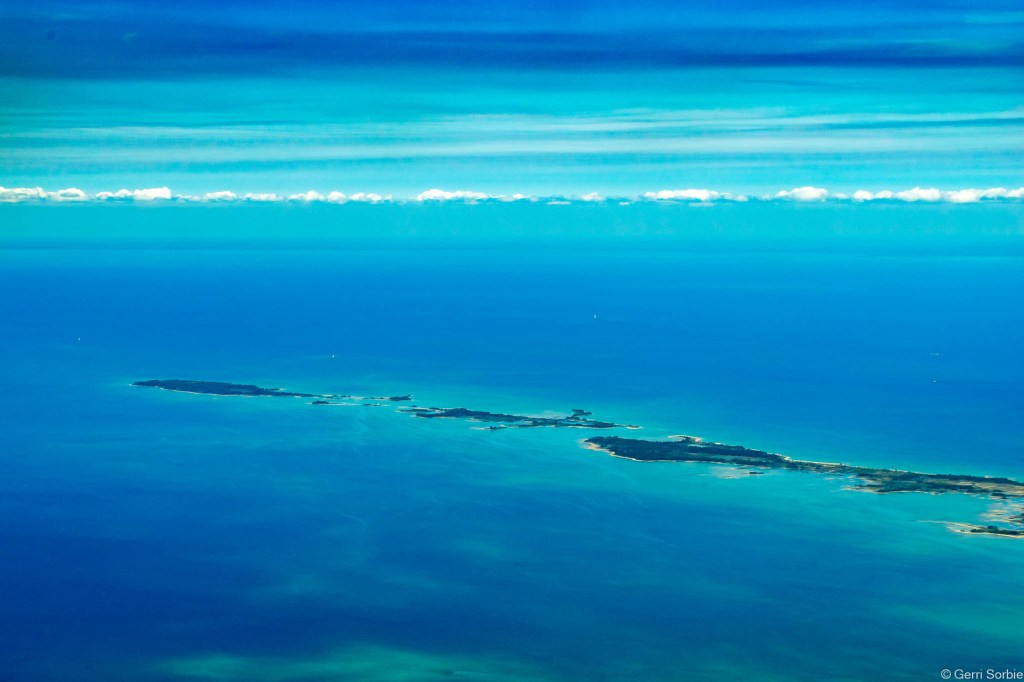
Bill took this photo last October at Van Buren State Park near South Haven. See many more incredible shots in his Drone the Sixth – DJI Phantom 4 Advanced album on Flickr!
See photos and read about many of Michigan’s state & national parks on Michigan in Pictures!

Share Michigan in Pictures: