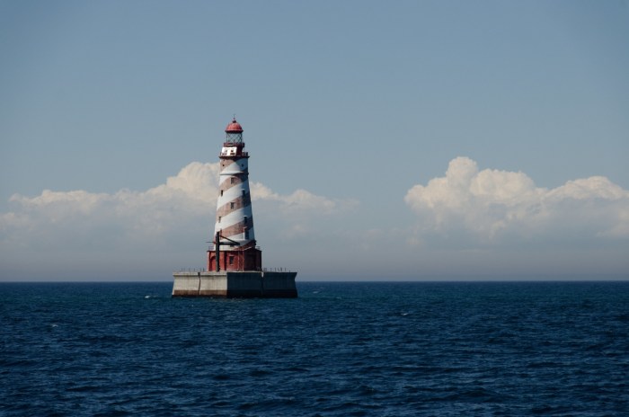
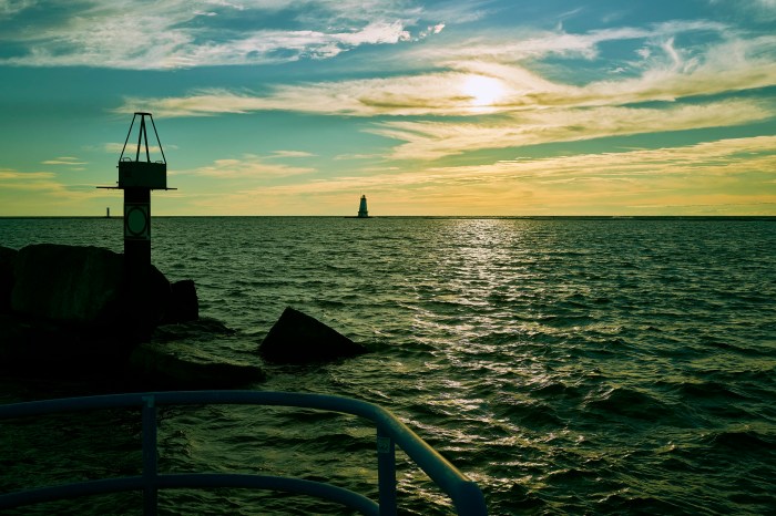
White Shoal Light by Joel Dinda
Terry Pepper was almost certainly the greatest champion ever for the lighthouses of the Great Lakes. Although he passed in 2019, his Seeing the Light website remains as a fantastic resource for the lighthouses of the western Great Lakes. The White Shoal Lighthouse entry says (in part, because these are VERY thorough):
Located approximately 20 miles east of Mackinac Point and 2.6 miles northwest of Waugoshance Island, the shallows around White Shoal had long presented a hazard for vessels entering the Straits from the either the North Shore or the Manitou Passage. Lying in an east/west orientation, and almost two miles long, the shoal was so shallow that its west end broke the water’s surface. With the dramatic increase in vessel traffic in the late 1880’s, the Lighthouse Board specifically identified White Shoal, Simmons Reef and Gray’s Reef as three Straits-area navigational hazards requiring immediate demarcation.
…Spring of 1908 saw work begin on the White Shoal light on two separate fronts. While a crew at the site leveled a one hundred and two-foot square area on the shoal through the addition and careful placement of loads of stone, a second crew worked on building a timber crib on shore at St. Ignace. Seventy-two feet square and eighteen and a half feet high, the huge crib contained 400,000 square feet of lumber, and on completion was slowly towed out to the shoal and centered over the leveled lake bottom. Once in location, the crib was filled with 4,000 tons of stone until it sank to a point at which its’ uppermost surface was level and two feet below the water’s surface.
…As work on the tower continued, the nine decks took shape within the tower. The first deck mechanical room housed the oil engine powered fog signal, heating plant, and storage for the station’s powerboat. The second deck housed a tool room, bathroom and food storage area. A kitchen, living room and one bedroom made up the third deck, with two more bedrooms and a toilet located on the fourth. A living area and another bedroom were found on the fifth deck, and the sixth and seventh contained a single open room on each. The service room made up the eighth level, and the watchroom topped the living quarters on the ninth.
Work at the station continued through the end of the shipping season in 1909, when once again the station was abandoned until work could resume with the receding ice in the spring of 1910.
Work crews returned to the station on the opening of the 1910 navigation season, and the the tower was capped with a circular watch room and lantern room, both of twelve and a half feet in diameter. The aluminum lantern featured helical astragals, which the Board had recently begun incorporating in new construction, since it was believed that they offered less light interference than the vertical astragals that had been prevalently used for the past sixty years. As construction of the tower wound to completion, the entire structure from the crib deck to lantern ventilator was given a coat of bright white paint, designed to improves the structure’s visibility during daylight hours.
More from Seeing the Light & definitely check out the tribute to Terry Pepper from the Great Lakes Shipwreck Museum.
Joel took this photo from Shepler’s ferry Hope during a Great Lakes Lighthouse Keepers Association lighthouse cruise in June of 2014. See more in his Lighthouse Cruise 6/16/2014 gallery on Flickr.

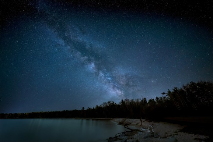
Share Michigan in Pictures:

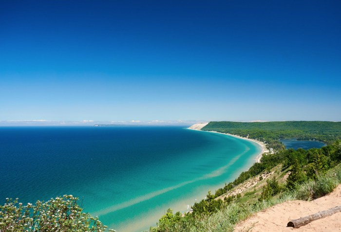
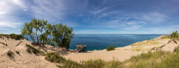
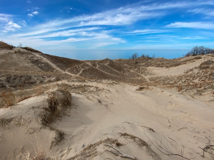
 Beginning in 1919 a small portion of what is now the national lakeshore was set aside as a state park. The idea of a national park in northwestern Michigan did not surface until the National Park Service’s Great Lakes Shoreline Survey visited the area in 1958. Between 1959 and 1970 there was a continuous and controversial effort in Congress to create a park unit around the Sleeping Bear Dune. The legislative leader of the Sleeping Bear park proposal was United States Senator Philip A. Hart. The senator’s persistence and patience in the end led to the creation of Sleeping Bear Dunes National Lakeshore on October 21, 1970.
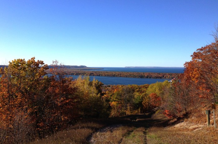