Happy 55th, Sleeping Bear Dunes National Lakeshore!

via Leelanau.com…

At the End of the Trail by James Banks

At the End of the Trail by James Banks

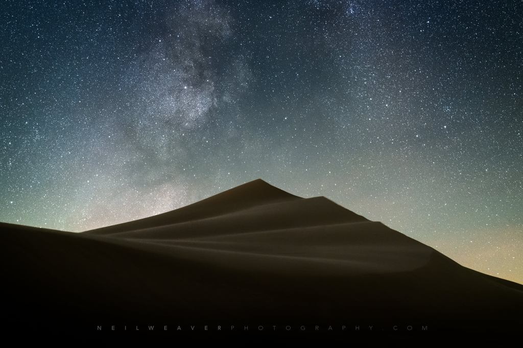
Today is the 55th birthday of the Sleeping Bear Dunes National Lakeshore. Normally, I would lead with a photo of the Dunes, but the creation of the National Lakeshore on October 21, 1970 preserved a whole lot more!!

Here is the tale of the tape on Michigan’s magnificent national lakeshore as of August 1, 2024!

  • Annual Visits – 1,589,248
  • Employees – 46 permanent, 83 seasonal
  • Volunteer Hours – 58,389 from 1,659 volunteers
  • Natural and Cultural Resources
  • Area – 71,318 acres
  • Lake Michigan Shoreline – 65 miles (35 miles on the mainland)
  • Inland Lakes – 26
  • Miles of rivers and streams – 12
  • Terrestrial plant species – 908
  • Bird species – 246
  • Federally threatened or endangered species – 6
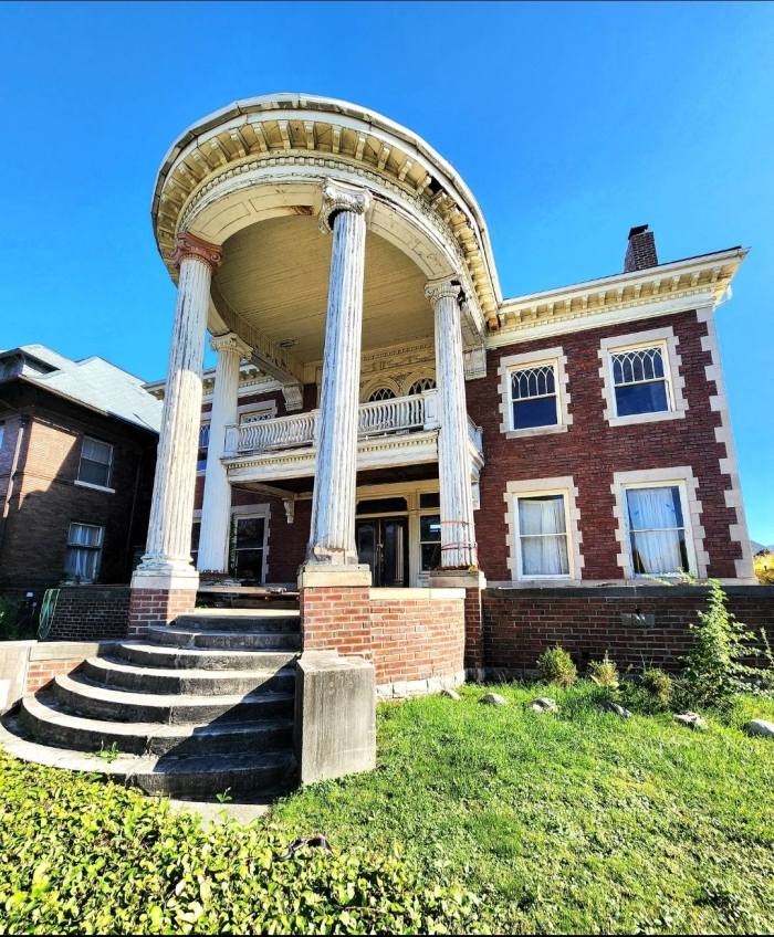
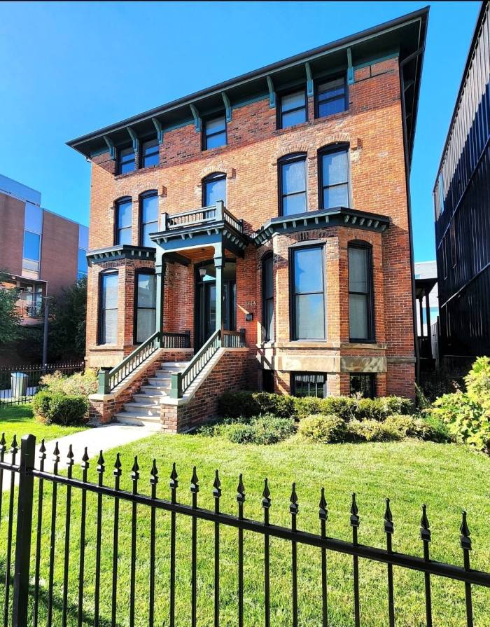
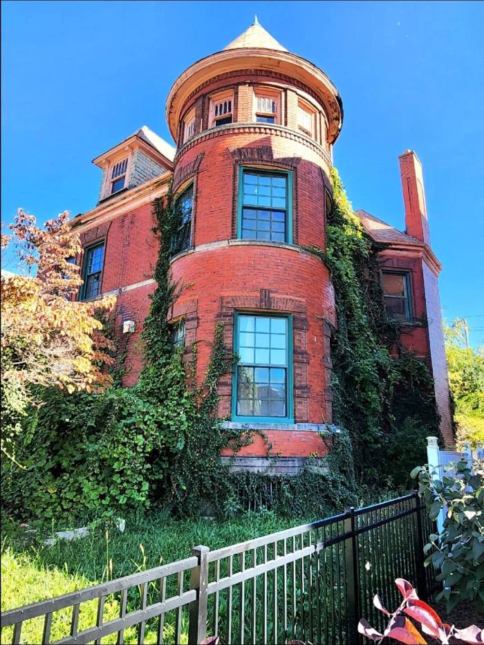
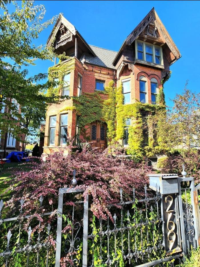
  • Historic structures on List of Classified Structures – 369
  • Sites on National Register of Historic Places – 8
  • Cultural Landscapes – 9 (4,500 acres)
  • Prehistoric archeological sites – 150
  • Historic boats – 21
  • Lighthouse – 1
  • Historic artifacts – 70,158
  • Archived documents – 21,325
  • Infrastructure
  • Buildings – 370
  • Employee housing units – 38
  • Campgrounds – 9 (357 sites)
  • Picnic Areas – 5
  • Visitor Centers – 3
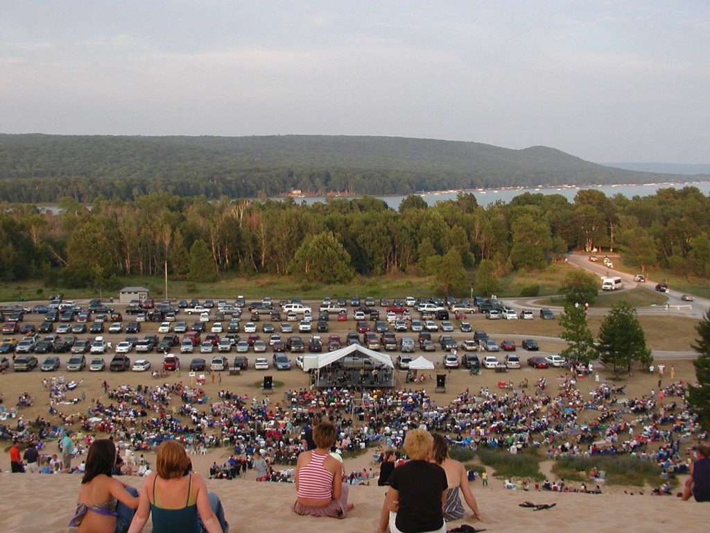
  • Outdoor ampitheaters – 2
  • Miles of roads – 23
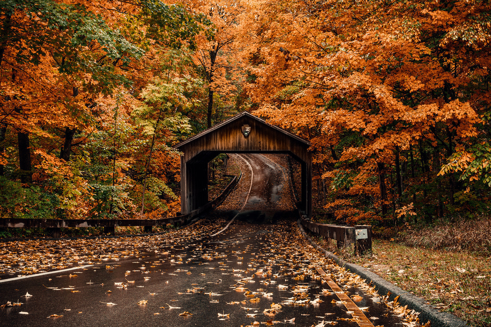
  • Covered bridge – 1 (Pierce Stocking Drive)
  • Miles of trails – 105
  • Lake access ramps – 9
  • Signs and wayside exhibits – 3572
  • Major photovoltaic power systems – 3
  • Motor vehicles in fleet – 54
  • Large boats – 8

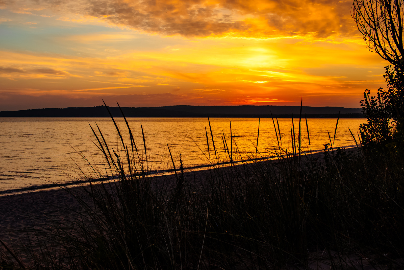
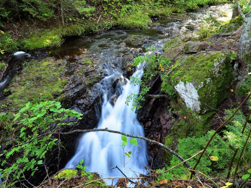
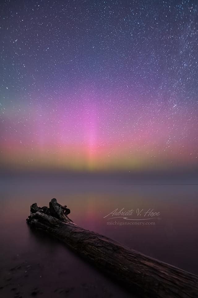
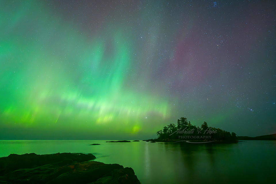
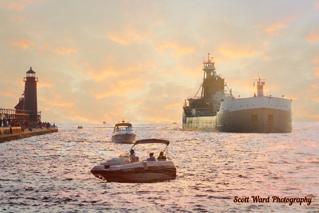
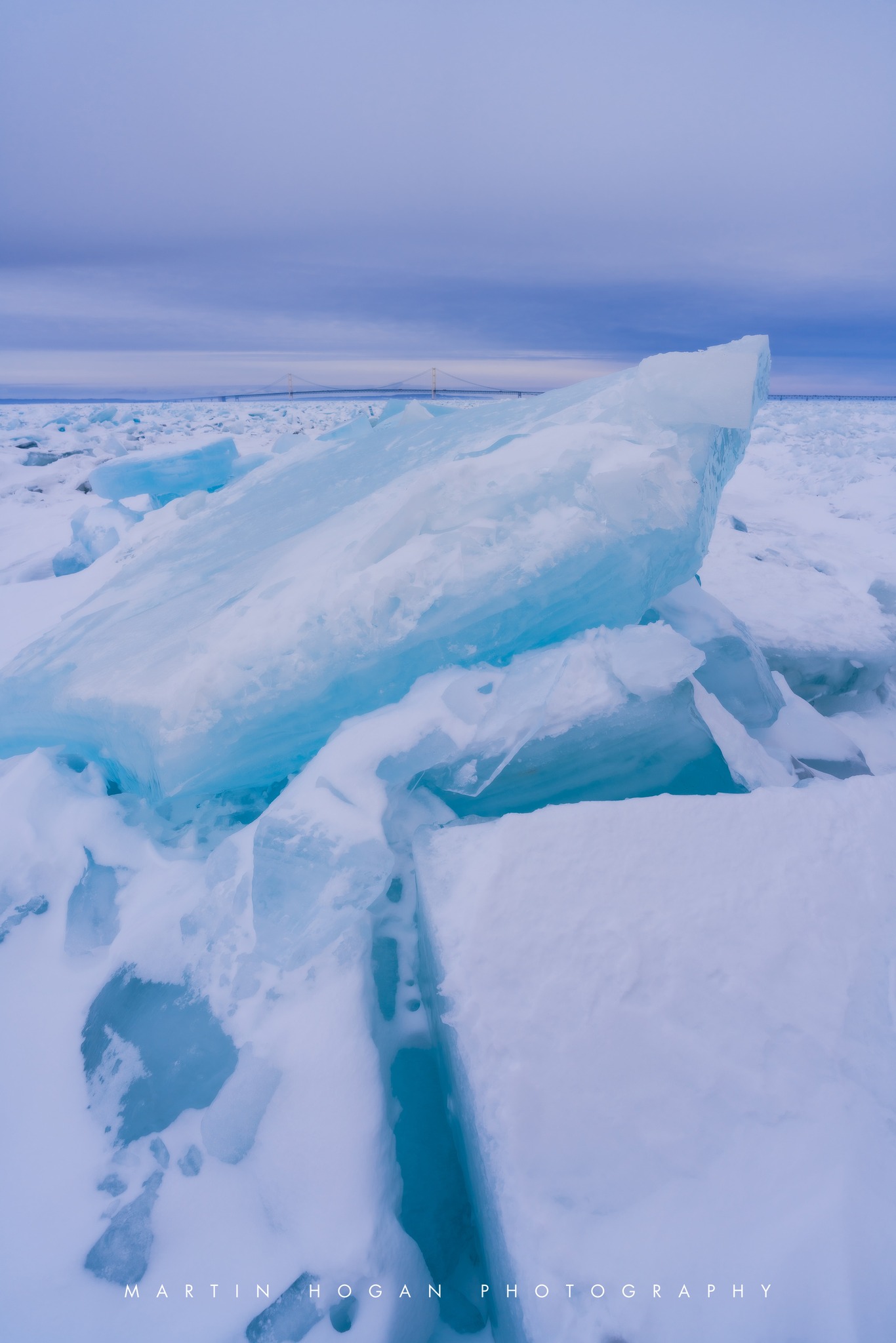
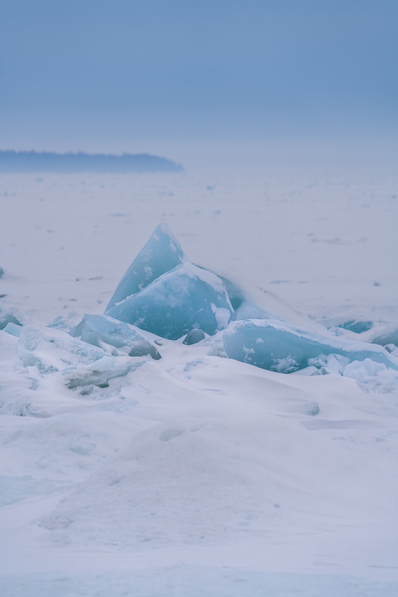
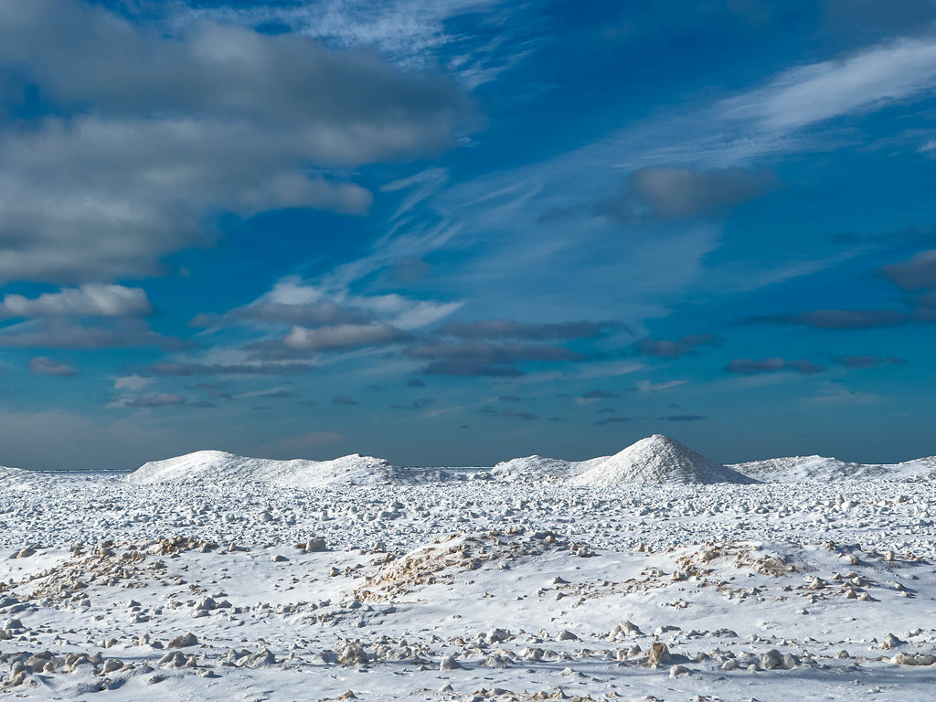
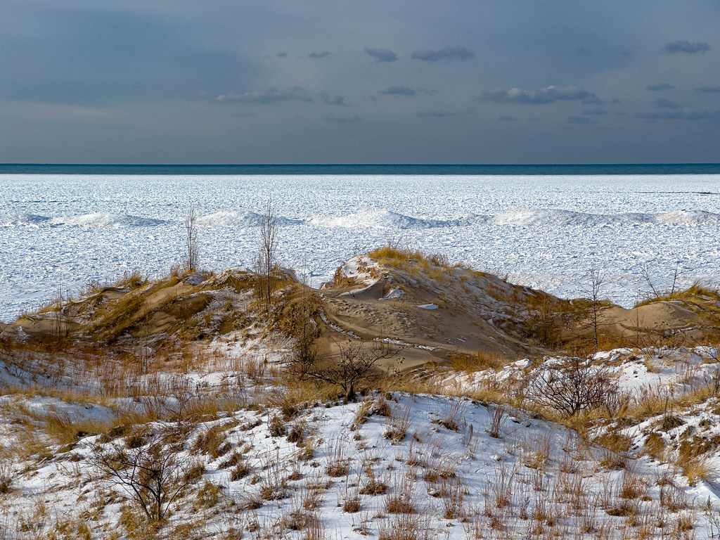
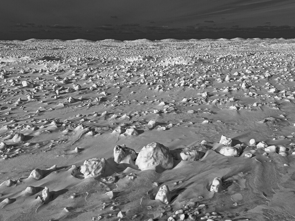
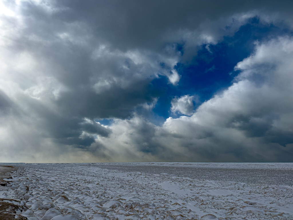
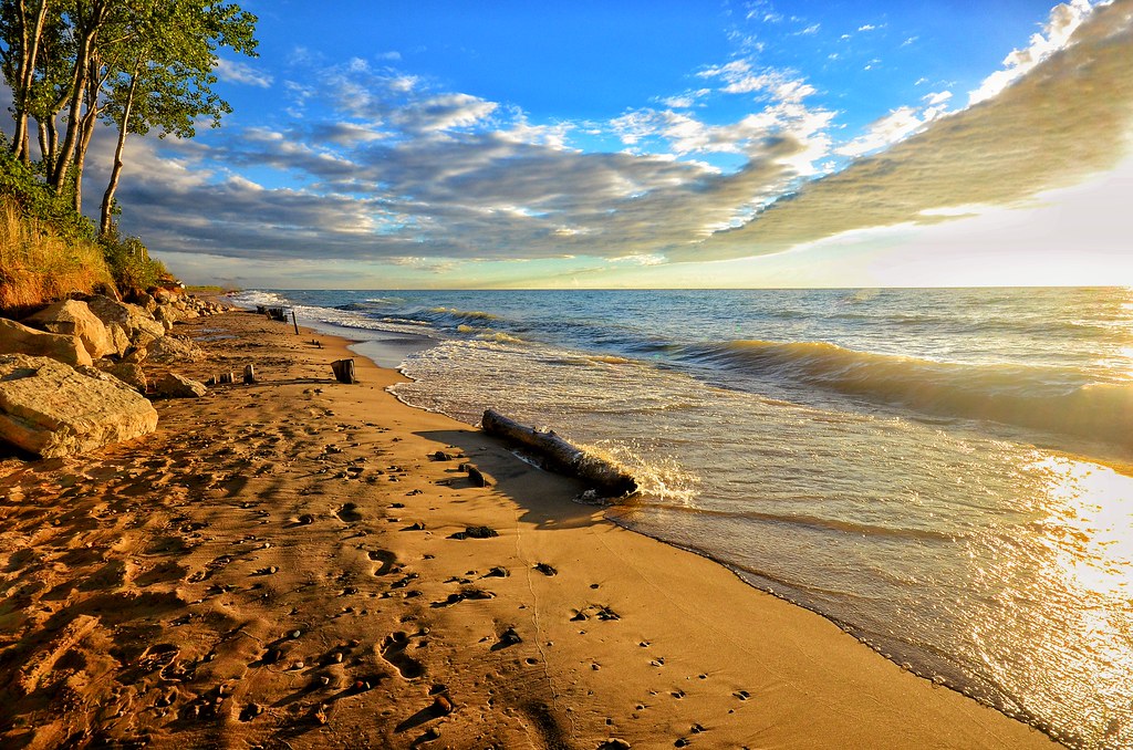
James took these in the Sleeping Bear Dunes National Lakeshore back in fall of 2023. See lots more great shots in his Top 100 gallery on Flickr!

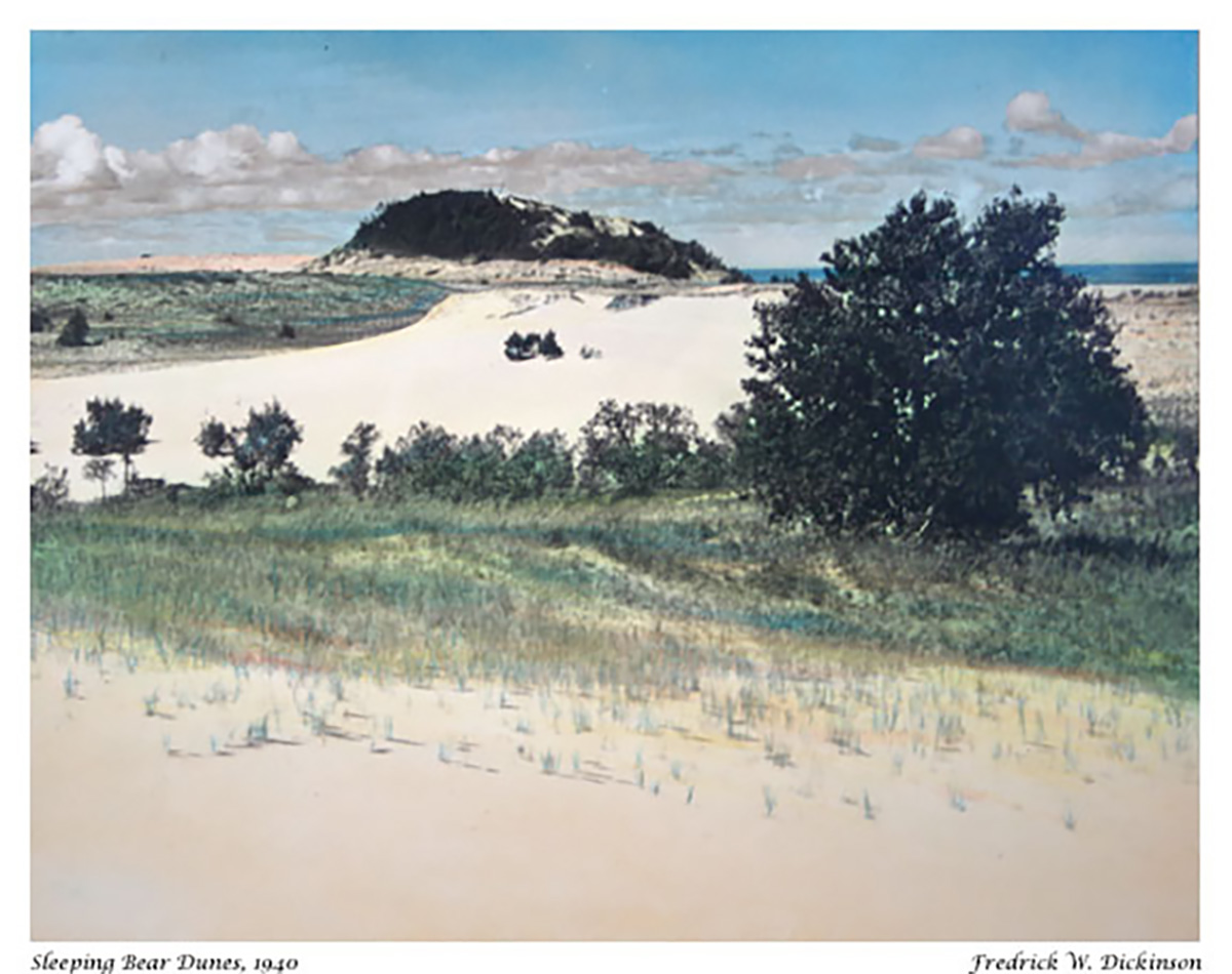
I also added a hand colored photo of “the Bear” from 1940 by Leelanau photography legend Fred Dickinson whose work you can see at the Dickinson Photo Gallery on Glen Lake & who you can read more about on Leelanau.com.

Support Michigan in Pictures with Patreon

The Beauty of Detroit’s Brush Park

Brush Park in Detroit by Terrell Morton

Brush Park in Detroit by Terrell Morton

The Detroit Historical Society shares some great information on Detroit’s Brush Park neighborhood that begins:

Established in 1860, Brush Park is one of the oldest historic neighborhoods in Detroit. Today it encompasses twenty-four blocks, bounded by Mack Avenue on the north, Woodward Avenue on the west, Beaubien Street on the east, and the Fisher Freeway on the south. In the late 1700s, the land was part of a ribbon farm owned by the Askin family, prominent fur traders and British loyalists.

Askin did not approve of American independence, so in 1802 he and his wife moved to Canada, leaving control of the farm and the enslaved people who worked there in the hands of his son-in-law Elijah Brush, husband to Adelaide Askin. Brush was active in civic affairs, serving as the second mayor of Detroit, the Michigan Territory United States Attorney, and Michigan Territory Treasurer. As a lieutenant colonel in the territorial militia, Brush was taken prisoner during the War of 1812 when the British captured Detroit.

Edmund Brush inherited the estate when his father died. He was also an influential figure in Detroit – a volunteer with the fire department and president of the water commission. In the 1850s, Brush began dividing and selling his land to wealthy families. He named the streets Alfred, Adelaide, Edmund, Eliot, and Brush after family members. Brush had many building restrictions, some which required expensive, large homes for the neighborhood, leading Brush Park to be called “Little Paris” for its mansions. Many famous Detroiters lived in the area in the late nineteenth and early twentieth century including Joseph L. HudsonAlbert Kahn and Grace Whitney Evans, daughter of David Whitney.

Read more and/or see related historical photos & from the Detroit Historical Society, and as someone who used to live on Adelaide, I can’t tell you how wonderful it is to see these wonderful buildings return to life!

Check out all the photos on Terrell’s Facebook page! and follow him there and on his Instagram @UrbanPharaoh444!

More wonderful Michigan architecture on Michigan in Pictures!

Support Michigan in Pictures with Patreon

Waterfall Wednesday: Return to Manganese Falls

manganese-falls

Manganese Falls by John Gagnon

I shared this photo from John nine years ago but came back for a second look! Trip Advisor shares that Manganese Falls are fed by Lake Manganese, a pristine little lake worth visiting too:

The falls are at the mercy of the seasons. The falls run rampant in spring with all the snowmelt (270″ average) and rainfall. Then as the season progresses, they become much less intense ending in fall as not much more than a trickle. The box canyon that surrounds the falls is a beautiful and dramatic 100 foot drop. It is lined with mosses, ferns and other boreal fringe flora, making it worth the stop even in the fall. There is a scenic trail that leads down and over a bridge to the lower end of the falls. It is definitely worth taking if you have the time.

The awesome GoWaterfalling’s page for Manganese Falls has directions & more info!

See more in John’s Rivers/streams gallery on Flickr.

Lots more Michigan waterfalls on Michigan in Pictures!

Manganese Falls by John Gagnon

Manganese Falls by John Gagnon

Support Michigan in Pictures with Patreon

Auroras in the Mist … and in the Dark

Aurora in the Mist by Aubrieta Hope

Michigan has been awash in Northern Lights for the last several days, and this morning’s NOAA/NWS Space Weather Alert Email says there’s a good chance much of Michigan can see them tonight as well!

I encourage you to click to subscribe to that email, and also to check out our post about how to see the Northern Lights in Michigan. You will also want to join the Michigan Aurora Chasers group on Facebook where I first saw the photo above from last June at Little Girl’s Point on Lake Superior and where Aubrieta is one of the resident aurora experts. View more of her work on Facebook and on her website. She also shared the photo below yesterday. While I can’t link to it, I wanted to what she wrote as a cautionary tale to remind you to double check your gear before you are go outside in the dark!

On September 30 at 2:00 a.m., I made a once-in-a-lifetime mistake. I set out on a hike to the end of the Hunters Point Trail in Copper Harbor, hoping to shoot the Aurora over Porter’s Island. I was fried from shooting the Aurora three nights in a row, so I packed light: a small camera bag, a headlamp, a flashlight and a fanny pack. Having shot for hours, the battery in the camera and the headlamp were nearly done, but I knew I had a spare camera battery and my Fenix flashlight as backup. Unfortunately, I soon discovered that the battery in my Fenix flashlight was dead. I got exactly one shot of the scene before my camera battery died. This one. I plugged in my spare camera battery but it was dead, too. So, I headed back up the trail in near-darkness with just the stars and Aurora to light my way. Those of you who know about my life-long obsession with flashlights, will think this is a tall tale. But it’s a true story! As is the fact that all my batteries are re-charging now, including the one that operates my brain. How I love these Keweenaw nights!

Aurora over Porter’s Island by Aubrieta Hope

Support Michigan in Pictures with Patreon

Michigan holiday travel will be off the charts!

Grand Haven Traffic by Scott Ward Photography

Grand Haven Traffic by Scott Ward Photography

mLive shares that a record 2.6 million people are expected to travel for the Fourth of July in Michigan, up 3% from 2024.

AAA projects nearly 2.4 million Michigan residents will take a road trip, up 2.5% from the same holiday period last year. Another 96,000 residents are expected to fly domestically, and more than 160,000 to travel by bus, train or cruise.

No word on how many will be traveling by personal watercraft, but probably a lot more than usual!! They say that the busiest days on the road will likely be Wednesday, July 2, and Sunday, July 6. with afternoon hours as the most congested.

See more in Scott’s Planes, Trains & Automobiles…Boats too gallery on Flickr. For sure view & purchase his work on his website and follow Scott Ward Photography on Facebook for his latest!

Support Michigan in Pictures with Patreon

Blue Ice at the Straits of Mackinac

Blue Ice at the Straits of Mackinac by Martin Hogan Photography

Blue Ice at the Straits of Mackinac by Martin Hogan Photography

Although winter “officially” ended yesterday, the snowy pictures I’m seeing from around Michigan this morning make me feel OK sharing these pics Marty got of blue ice on the Straits of Mackinac last weekend. Click to follow Marty on Facebook & for sure check out some of his past photos on Michigan in Pictures!

If you are wondering Why Ice is Blue, Michigan in Pictures says (in part):

As with water, this color is caused by the absorption of both red and yellow light (leaving light at the blue end of the visible light spectrum) … In simplest of terms, think of the ice or snow layer as a filter. If it is only a centimeter thick, all the light makes it through; if it is a meter thick, mostly blue light makes it through. This is similar to the way coffee often appears light when poured, but much darker when it is in a cup.

Support Michigan in Pictures with Patreon

Mounds of snow for Michigan

Lake Michigan Ice Mounds by Mark Swanson

Lake Michigan Ice Mounds by Mark Swanson

The Lansing State Journal reports the National Weather Service says that a triple threat of subzero temperatures, high winds and ice-free Great Lakes really piled up the lake effect snow last week:

“This snowy week is nearly at an end, including a visit from real Arctic air, and many towns near Lake Michigan and Lake Superior got a foot or two of fresh snow as a result,” the NWS said. “Clearly, the vast majority of snow was a result of lake effect, as plenty of other parts of Michigan only saw an inch or two at best.”

Air temperatures in Michigan fell below zero Jan. 18-22. In some cases, the thermometer didn’t read above zero for two days. The coldest reading in the state came Monday night when Stambaugh, in the western UP, registered minus 30 — before wind chill. The town also saw minus 28 on Tuesday night while Ironwood’s NWS observer recorded minus 27.

You can see that the conditions have also piled up shoreline ice in these pictures that Mark took over the weekend at Lincoln Township Beach just north of Grand Mere State Park. Here are some more recent ones and a shot from summer of 2016 below. More in Mark’s 2025 gallery on Flickr!

Support Michigan in Pictures with Patreon

Top 5 Photos for 2024 & looking ahead to 2025

Every year I like to look back on the most popular photos from the previous year of Michigan in Pictures, and this year is no exception. Joey’s incredible drone shot of workers laying the last girder in place to connect the deck of the new Gordie Howe International Bridge to the Detroit Port of Entry was not only the most popular post in 2024 — with 2.9 MILLION views it also became the most popular post ever on Michigan in Pictures! This astonishing project has been directed and paid for by Canada & opens in November of 2025! Learn more about the Gordie Howe Bridge on Michigan in Pictures & for sure follow Joey on Instagram and view & purchase photos on his website!

Gordie Howe’s Last Girder by Joey D

Checking in at number two is this peach of a photo of Turnip Rock near Port Austin in Michigan’s Thumb. Tom shared that this gigantic stone developed its signature look after millennium of being worn away by waves thumping across its bow to the point where it’s just an island inhabited by some trees and very little else. Head over to Tom’s website to view & purchase his work!

Turnip Rock at sunset by Tom Clark

Fly Me to the Moon by Morgan Andrew Somers

This shot from Flint by Morgan Andrew Somers of a plane flying into the eclipse was the 3rd most popular pic of 2024. It is also one of the coolest eclipse photos & photos in general I’ve ever seen!

MASPhoto has the receipts – it’s not fake. View & purchase prints including this one at morganandrewsomers.com.

Mackinac Bridge Walk & Herbert C Jackson by the Mackinac Bridge Authority

The 4th most popular post was a pair of pics showing the freighter Herbert C Jackson passing under the bridge with Mike Rezabek’s photo of the walk below from the deck of the Jackson completing the 360 view!

Bridge Walk from Herbert C Jackson by Mike Rezabek

Milo and the Morazan by Chris Roxburgh

Milo is a good boy & this photo by his owner & Great Lakes shipwreck explorer Chris Roxburgh was our 5th most popular photo of the year.

Follow Chris on Facebook, view & purchase his work including coffee table books on his website, and learn more about the shipwreck of the Francisco Morazan off South Manitou in the Sleeping Bear Dunes National Lakeshore from Leelanau.com!

Eastern Hognose Snake by Sleeping Bear Dunes National Lakeshore

The most popular post from previous years was the 2014 feature on the Eastern Hog-nosed Snake (Heterodon platirhinos). The “puff adder” is one of only 17 species of snake in Michigan and like all but one of the, it’s harmless to humans.

FYI, the only poisonous snake native to Michigan is the Eastern massasauga rattlesnake which has the weakest venom of any rattler.

I promised a look at what’s in store for 2025, so here are five goals I think I can achieve in the coming year:

  1. Visiting or revisiting places I’ve talked about on Michigan in Pictures, either in person or real life. One of the biggest reasons I created Michigan in Pictures was to provide a window into the many cool experiences available in the Great Lakes State. Back in the day when I started, I was able able to get out and about to all corners of the state, but these days I just don’t have the same time to do that. I’m hoping that in addition to pushing myself to do more, I can find some photographers exploring them.
  2. Highlighting more photos from our Michigan in Pictures group on Facebook and creating addition virtual & maybe even real world opportunities to share photos. There used to be some very fun Exposure.Detroit shows & meetups back in the day, and I was even able to lead a field trip to the Grand Traverse Commons with the group. These days I work & know folks at some cool spots here in Detroit that would be fun to explore, and there are a lot of photographers featured here that have deep roots in all corners of Michigan. Social media is cool & all, but for my money, the real world is where things are going to be at in the years to come.
  3. Reaching out to some of the amazing Michigan photographers I’ve profiled over the years to see what they’re up to now & what they’re thinking about photography. And of course to do profiles on some of the great new photographers I’m sharing. I didn’t do a whole lot of Michigan Photographer Profiles, but the ones I did were absolutely fascinating to me both as a photographer and as a lover of Michigan.
  4. Find more Michigan companies & photography companies to donate swag to give away. When we were running Absolute Michigan at full steam, we used to get a lot of free promotional items like concert tickets, museum passes, free lodging stays, outdoor & other gear, and lots more.
  5. Featuring more of my own photos. Because I enjoy taking them!

Stay tuned & thank you for being a part of Michigan in Pictures! Click for more Michigan in Pictures Year in Reviews & related posts.

Support Michigan in Pictures with Patreon

19 years of Michigan in Pictures

Upper Deck by Andrew McFarlane

Upper Deck by Andrew McFarlane

I started Michigan in Pictures way back on December 30, 2025. In the 19 years since, I’ve shared 2840 posts – well, 2841 now – to 1.6 million people! Thank you all for being a part of it!!

The most popular post ever remains Know Your Michigan Turtles, but every year Underwater Stonehenge in Lake Michigan gains a little ground. The top five rounds out with Fist of a Champion: Detroit’s Monument to Joe Louis, Northern Lights Forecast: Predicting the Aurora Borealis in Michigan & Detroit’s Michigan Central Station. To make the boxes below line up nicely, I’ve added #6 which is a personal favorite: Slumpy: the William Livingstone Mansion in Brush Park.

In 2025, I am going to celebrate the 20th year by revisiting some of the amazing photographers & photographic subjects to see where they are now!


Know Your Michigan Turtles

Underwater Stonehenge in Lake Michigan

Fist of a Champion: Detroit’s Monument to Joe Louis

Northern Lights Forecast: Predicting the Aurora Borealis in Michigan

Detroit’s Michigan Central Station

Slumpy: the William Livingstone Mansion in Brush Park

I took this photo & the one below at the Manitou Music Festival at Sleeping Bear Dunes National Lakeshore way back in 2005! You can see a lot more in my Music Makes Me Smile gallery on Flickr, and the dancing fellow in the bottom picture is Jacob Wheeler, editor & publisher of the fantastic Glen Arbor Sun!

Jacob Dancing by Andrew McFarlane

Jacob Dancing by Andrew McFarlane

Support Michigan in Pictures with Patreon

The angle of repose at Silver Lake Dunes

Miniature Landscapes by Neil Weaver Photography

I shared the photo below of what Neil dubbed “The Great Sand Pyramid of Silver Lake Dunes” back on December 17, 2020. Like the ones in the photo above, the lines are so crisp & clear that they look computer generated. Sleeping Bear Dunes is another shifting dune complex, and they explain that the reason that the sand on shifting sand dunes looks the way it does is due to wind & something known as the angle of repose:

Active dunes gradually advance over time. In some places trees and telephone poles have been buried in drifting sand over a period of several years. A common question is “How fast are the dunes moving?” Rates of sand movement vary from one place to another and from one year to the next. At the Dune Climb the average rate of advance has been about 4 feet (1.2 meters) per year over the past few years.

Direction of sand movement also varies from one place to the next. The shapes of dunes reveal the direction of the winds. Dry, loose sand can take on a maximum slope of 34 degrees, known as the angle of repose. As sand piles up on an unvegetated dune, the leeward (downwind) slope approximates the angle of repose, while the windward slope is more gradual. Ripples in the sand show a similar asymmetrical shape.

Dune sand moves primarily by a process called “saltation”, literally “jumping”. Wind forces grains of sand to roll, collide with other grains of sand, and in subsequent collisions some grains bounce into the air, are driven downwind as they fall, and upon landing strike other grains to produce a chain reaction. On a windy day you can see a hazy zone of sand moving just a foot or two above the ground.

Neil took the photo above last year in late December & shared “One of the many things that I love about hiking around the sand dunes is finding miniature landscapes created by the strong winds. The textures and lines compose a true natural work of art!”

Indeed!! See lots more of Neil’s work on Facebook and view & purchase prints, calendars & photography workshops on his website!

The Great Silver Lake Pyramid by Neil Weaver Photography

Support Michigan in Pictures with Patreon