Happy 2025 Back into the Woods Day!

Winter ... a step at a time by Ken Scott

Winter … a step at a time by Ken Scott

Longtime readers know that “Back Into the Woods Day” is one of the invented Michigan holidays we celebrate on Michigan in Pictures. It’s an annual December 1st holiday that celebrates the end of firearm deer hunting season & the return of (mostly) gun free hiking trails.

Today’s photo is from Leelanau photographer Ken Scott, and I’d like to be sure to highlight his 2026 “Best of the Back Pages” Calendar that features some of his great photos from the back page of the weekly Leelanau Enterprise. See a few more below including these amazing snowy owl tracks and many in Ken’s massive snow gallery on Flickr.

Click for more Michigan photo calendars from photographers we feature on Michigan in Pictures!

Support Michigan in Pictures with Patreon

Looking around at Chapel Beach

Chapel Beach Storm by Gary McCormick

Chapel Beach Storm by Gary McCormick

Although we were just in the neighborhood on Monday for the Seven Wonders of Michigan, I couldn’t resist encouraging you to take a look around at one of my favorite Michigan hikes when Gary shared this photo of a storm rolling into Chapel Beach yesterday! The river you see in the foreground is the Chapel River that flows from Chapel Falls (pictured below).

You can see lots more in Gary’s Pictured Rocks National Lakeshore gallery on Flickr and view & purchase his photos of Pictured Rocks & elsewhere at Footsore Fotography!

Support Michigan in Pictures with Patreon

Waugashaunce Point Trail in Wilderness State Park

Waugoshance Point by Jim Sorbie

Waugoshance Point by Jim Sorbie

I’m going to try to share more posts about great Michigan trails & hikes that are a little off the beaten path. If you have a favorite, share it in the comments! DWHIKES has the 411 on Waugashaunce Point Trail in Wilderness State Park north of Petoskey on Lake Michigan is a great trail that is DEFINITELY off the beaten path:

Waugoshance Point is easy to spot on a map, just look for the large peninsula jutting out from the northwestern corner of the lower peninsula: that’s it. If only for that reason it was an attractive place to want to take a hike. An added bonus was the fact that it marks the western end of the Mackinac Straits amidst three remote lighthouses and is completely devoid of trails. I simply couldn’t come up with a reason NOT to go.

Waugoshance Point is truly spectacular in the summer when the rock beaches are home to a myriad of waterfowl and a dizzying array of lake shore wildflowers. I just couldn’t wait though. The snow was gone and I needed to get out. The trail head, if there was a trail, is located at the end of Waugoshance Point Road which gives access to the back-country cabins of Wilderness State Park. From there I’d trust my topo-map to guide me along the shore out to the point. Though there are no hills or cliffs to speak of the area turned out to be quite diverse and beautiful, as you’ll see…

Here’s a great aerial photo by Jim – see more in his From the Air gallery on Flickr which also includes another view of the Point from August of 2022.

Shades of Blue .. Waugoshance Pt by Jim Sorbie

Shades of Blue .. Waugoshance Pt by Jim Sorbie

Support Michigan in Pictures with Patreon

Waterfall Wednesday: Yellow Dog Falls

Yellow Dog Falls on the Yellow Dog River by Tom Clark

Yellow Dog Falls on the Yellow Dog River by Tom Clark

Travel Marquette shares that Yellow Dog Falls are a bit of a drive from Marquette, but well worth the drive time & not that difficult to reach with a trail along one of the wildest streams east of the Mississippi, with multiple waterfalls in just a two mile section of river.

The Yellow Dog River is one of the cleanest and least contaminated rivers in Michigan with water quality above and beyond drinking water standards that is considered a cold water fishery and a blue ribbon trout stream by the State of Michigan. Read much more from the Yellow Dog Watershed.

Tom took this photo last fall. See more in his UP October 2023 gallery and for sure view & purchase his work on his website.

Many (many) more Michigan waterfalls on Michigan in Pictures!

Support Michigan in Pictures with Patreon

Back into the Woods Day 2020!

Sandstone Creek Ravine by Joel Dinda

Sandstone Creek Ravine by Joel Dinda

If you’re like me & love to hike, the two weeks of deer season put a little damper on your outdoor fun. Years ago, I proposed December 1st be designated a holiday so a very happy “Back into the Woods Day” to you all!

Joel took this photo at Fitzgerald Park in Grand Ledge back in 2012, and since you can see more in his Into the Woods gallery, it’s clear he deserves a lot of the holiday naming credit!

Support Michigan in Pictures with Patreon

Sun Coming Home

Sun Coming Home by William Dolak

Sun Coming Home by William Dolak

Bill writes that this path through the woods at Bishop’s Bog near Portage was always one of the summer sun’s favorites. See more great pics on his Facebook & in the Michigan in Pictures Group!

Support Michigan in Pictures with Patreon

Dune Days at Sleeping Bear

Dune Days by Mark Smith

Mark took this beautiful photo a couple of summers ago on the Treat Farm Trail in the Sleeping Bear Dunes National Lakeshore. Guessing it looks much the same today, but you should check it out just to be sure! 😉

Head over to Mark’s Flickr for more & here’s the Park’s writeup on the trail:

The trail that leads from the corner of Norconk Road into the woods is about ½ mile long through the maple-beech forest and will take you to the Treat Farm. As you reach the top of the hill, the canopy of trees opens up to a view of the farmstead. A portion of the original barn has been rebuilt on the original foundation.

Visitors are drawn to this intriguing farmstead for several reasons. The trail leading up the slight incline from Norconk Road holds an allure of its own… it seems to beckon passers-by. It piques the curiosity by conjuring visions of what might be at its terminus. It is also one of the most beautiful areas for spring wildflowers in all of Michigan!

Click for trail map & check out more great Michigan trails on Michigan in Pictures.

Support Michigan in Pictures with Patreon

Lake Michigan: Port Oneida Edition

Port Oneida, photo by JamesEyeView Photography

Just one of the many staggering vistas that await you on the Pyramid Point Trail in the Sleeping Bear Dunes National Lakeshore.

View the photo background bigtacular and see more in James’ The Great Lakes slideshow.

PS: If you head this way the weekend of August 11-12, be sure to check out the annual Port Oneida Fair. presented by the Sleeping Bear Dunes National Lakeshore.

Morning on the North Country Trail

hacking-site-camping-trip-february-2017

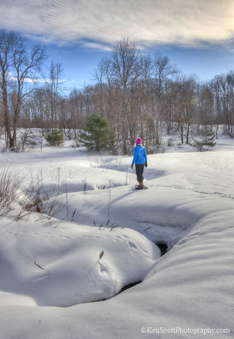
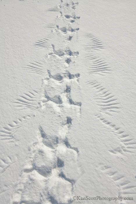
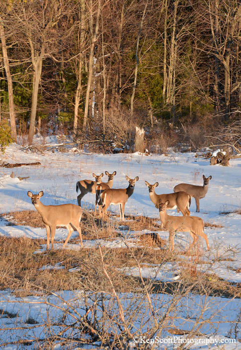
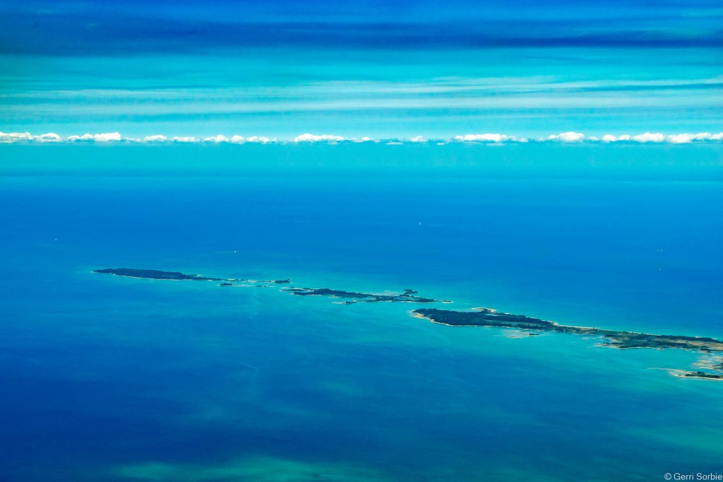
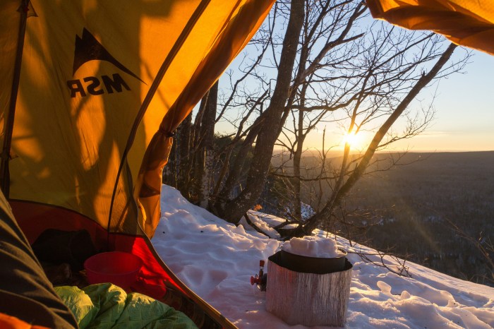
Hacking Site Camping Trip, February 2017-25, photo by Nathan Miller

Nathan took this photo in the Ottawa National Forest’s Trap Hills along the North Country Trail in winter.The Trail winds 4600 miles through 7 states in America’s northern heartland. It is our longest National Scenic Trail, stretching from New York to North Dakota. Michigan holds more of the North Country Trail than any other state:

Entering Michigan from Ohio the first completed segment of NCT is within the Lost Nation State Game Area near Pittsford.  The route then threads through a mix of forest and farm country and is a mix of road walks and completed segments. Off-road trail exists in Fort Custer National Cemetery (near Battle Creek), Yankee Springs State Recreation Area (near Hastings) Middleville and Barry State Game Areas.  In Lowell, hikers can walk down East Main Street and stop in at North Country Trail headquarters to purchase some official trail gear.  Heading north from Lowell, hikers will travel through two more areas with built trail before arriving at the southern boundary of the Manistee National Forest. These include the Lowell State Game Area/Fallasburg County park segment just outside of the city of Lowell and the Rogue River Game Area near Rockford.

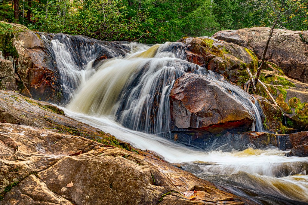
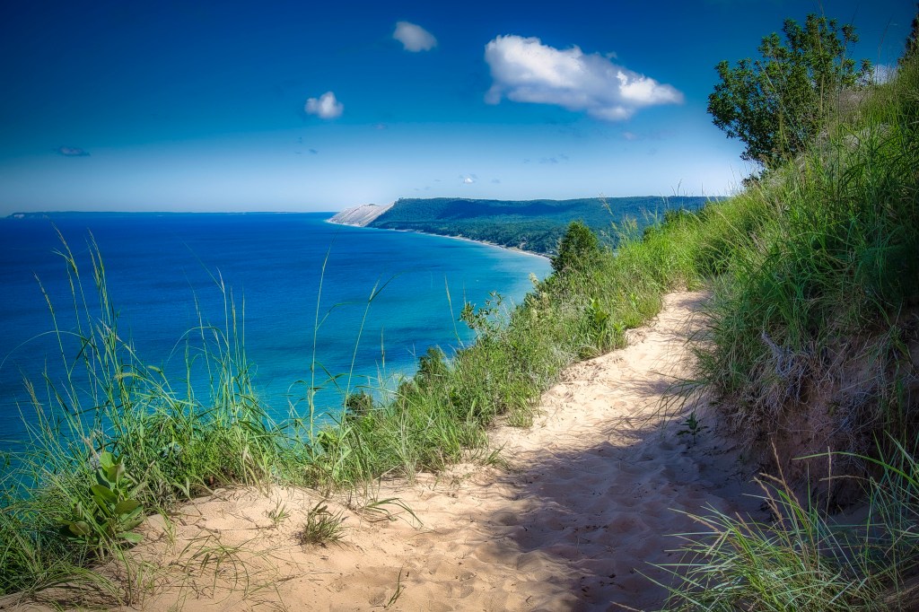
Hikers get their first glimpse of the Northwoods in the Manistee National Forest.  Within Manistee National Forest, enjoy sandy soils that support a pine-hardwood forest and great hiking along the Manistee River Trail, which forms a great loop hike opportunity.  The NCT leaves the Manistee National Forest near the Hodenpyl Dam Pond which features a fabulous new (2009) trail along the Hodenpyl Dam Pond and Manistee River.  Continuing south of Traverse City to Kalkaska the NCT is routed through state forest land (the Pere Maruette SF) which offer a number of year round recreation opportunities.  The next jewel along the NCT is the Jordan River Pathway, which offers a scenic loop hike near Alba.  From here the trail heads towards Petoskey through the Mackinac State Forest.  North of Petoskey wonderful hiking opportunities exist in Wilderness State Park, where the trail follows the Lake Michigan shoreline. As one leaves Wilderness State Park and heads towards Mackinaw City the lights of Mackinac Bridge become visible.

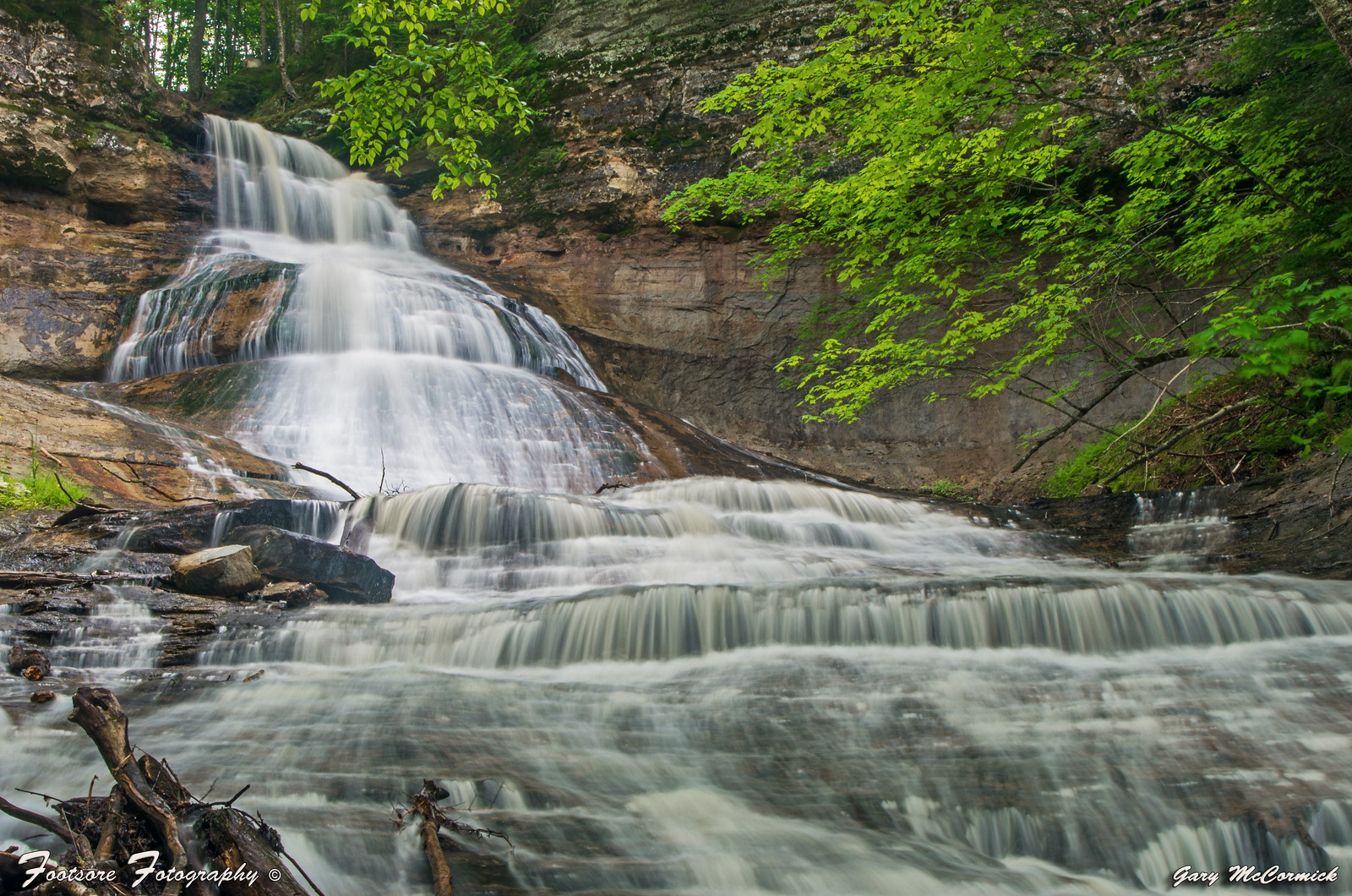
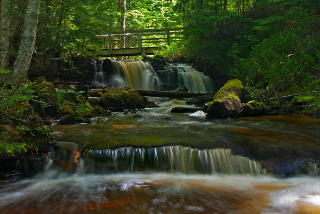
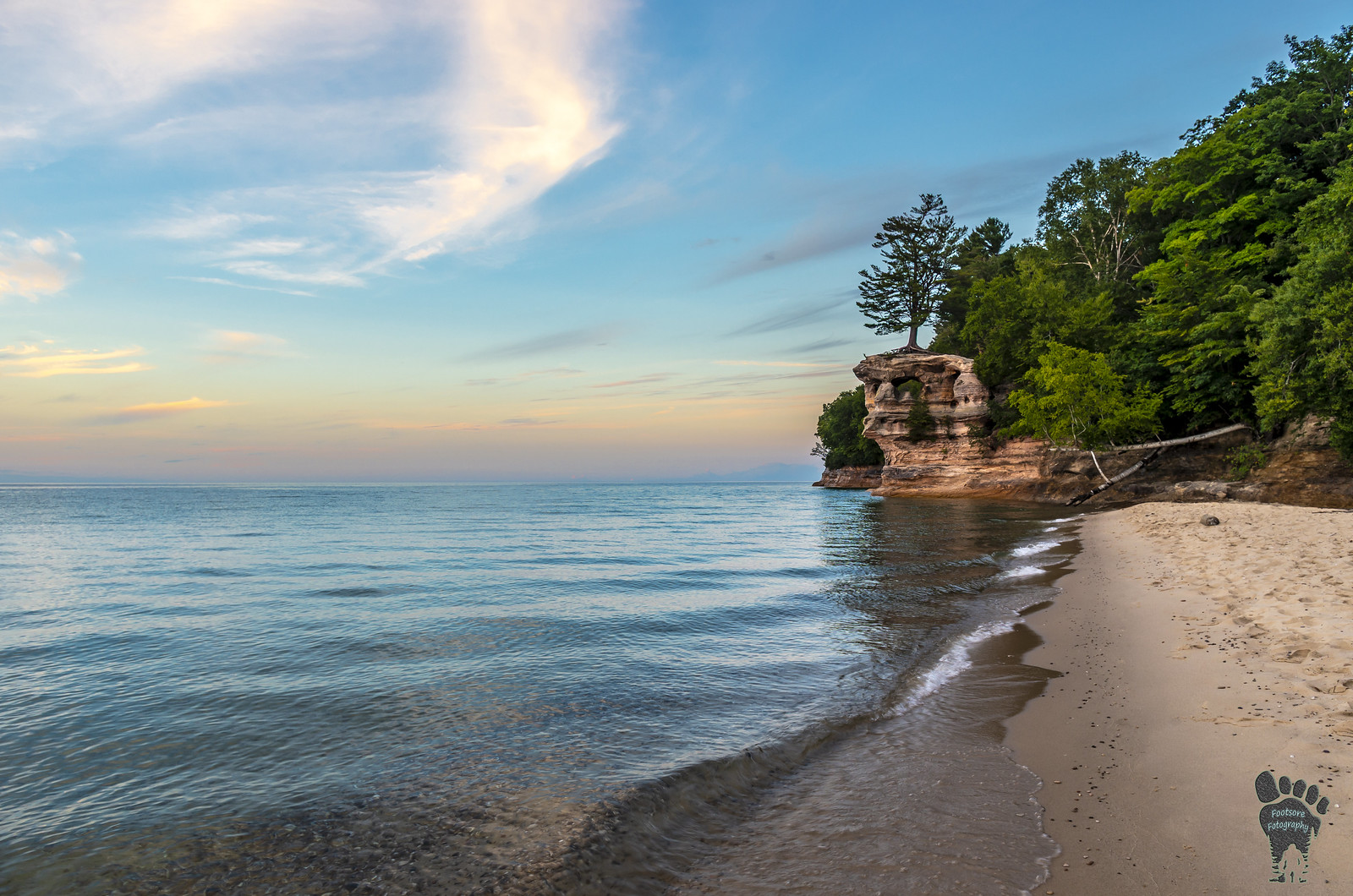
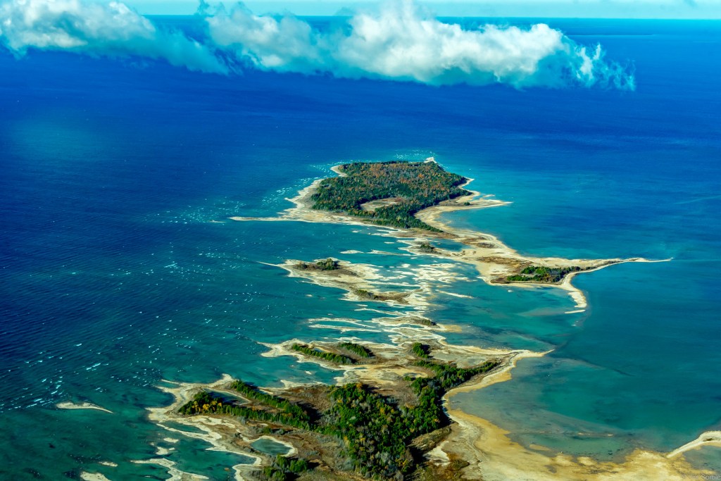
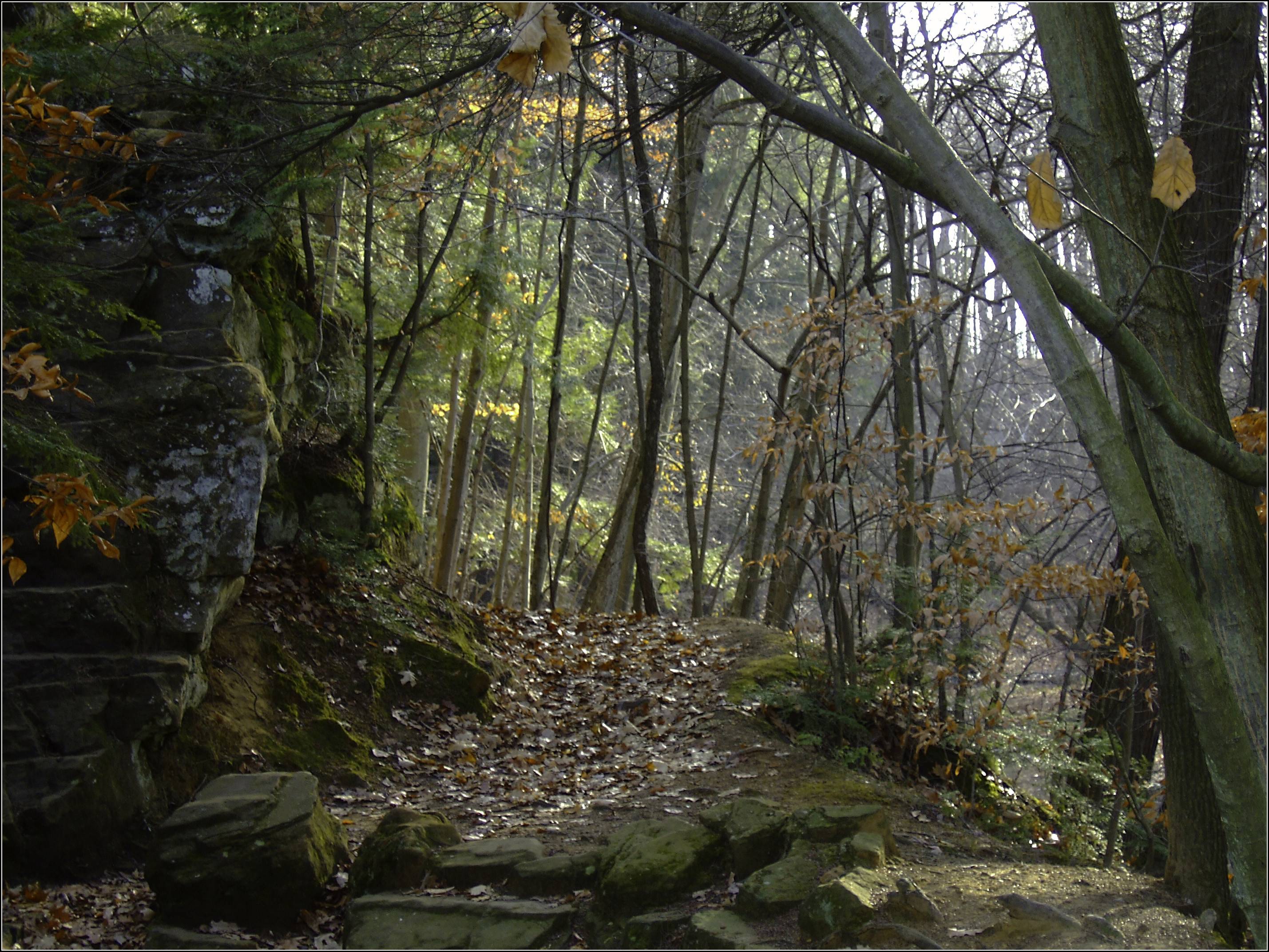
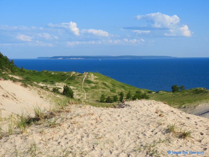
…The U.P.’s prime scenery includes large lakes, old growth forests, rugged hills and the Lake Superior shoreline, all set amid some of the most remote, uninhabited country found on the North Country Trail.  From St. Ignace the trail heads through the eastern unit of the Hiawatha National Forest towards Tahquamenon Falls State Park (home to the second largest waterfall in the eastern United States).  Continuing west, the trail passes through Muskallonge Lake State Park and Lake Superior State Forest towards Pictured Rocks National Lakeshore. Within Pictured Rocks, enjoy the 43-mile Lakeshore Trail along the Lake Superior shore, one of the greatest hits of the entire North Country Trail.  West of Pictured Rocks the trail enters the western unit of the Hiawatha National Forest passing through public and private lands before reaching Marquette.  West of Marquette the trail passes through Presque Isle City Park, McCormick tract Wilderness, Craig Lake State Park, Copper Country State Forest, Sturgeon River Gorge Wilderness and cuts through historic copper mining sites near Old Victoria.  Once entering the Ottawa National Forest segments run along the Black River canyon, towards the wild country of Porcupine Mountains Wilderness State Park. The NCT leaves Michigan’s Upper Peninsula near the community of Ironwood.

Read on for more at the North Country Trail website, including maps!

View Nathan’s photo bigger and see more in his North Country Trail Camping Trip, February 2017 slideshow.

Back into the Woods Day, 2016

the-runner

The Runner, photo by Scott Laidlaw

December 1st is one of my personal holidays, Back into the Woods Day, which of course is the day after deer hunting season ends when it’s once again safe to wander Michigan’s woods & trails.

View Scott’s photo background big and see more in his Explored! slideshow.