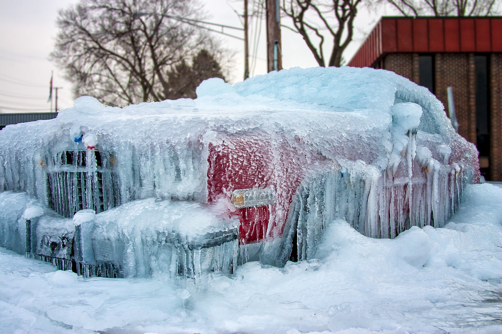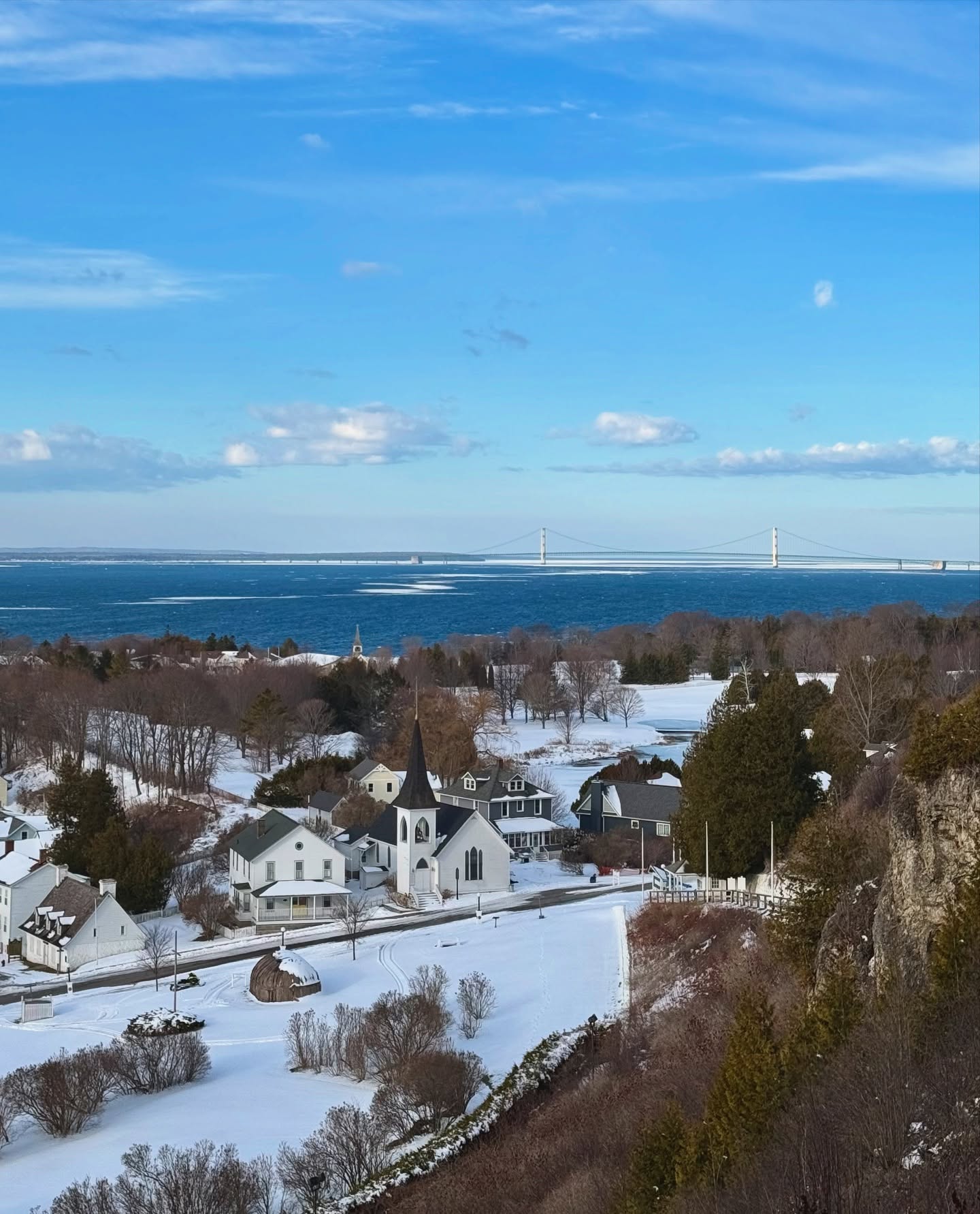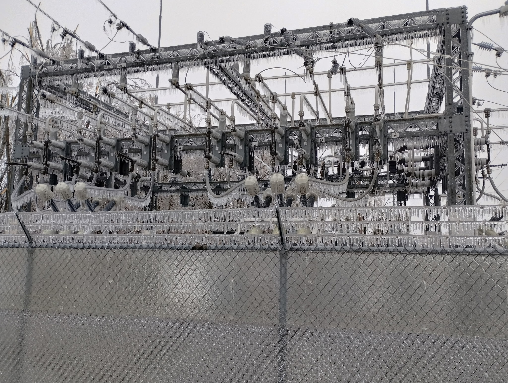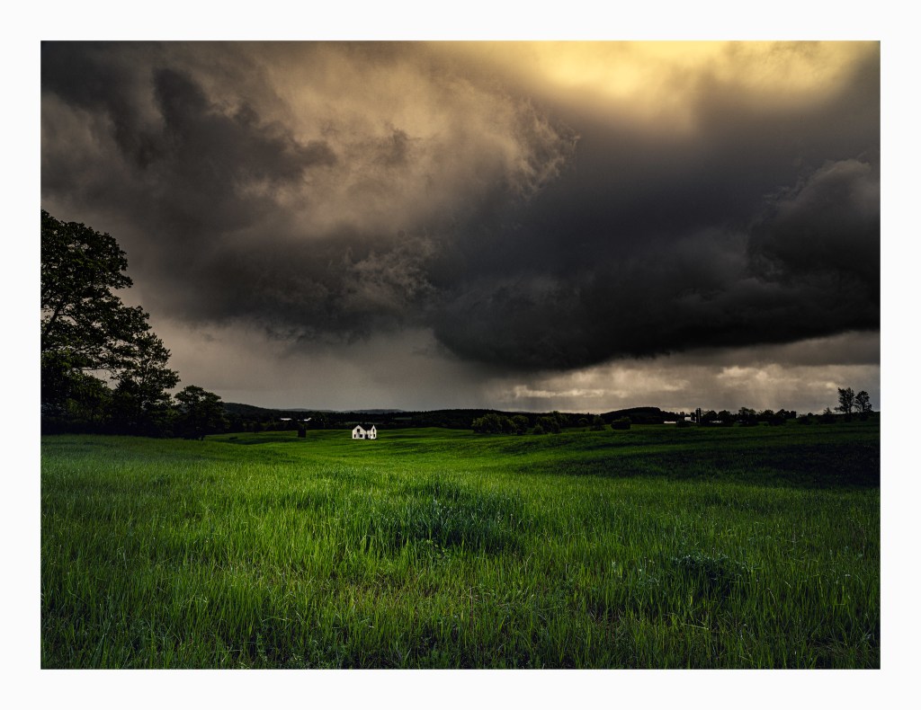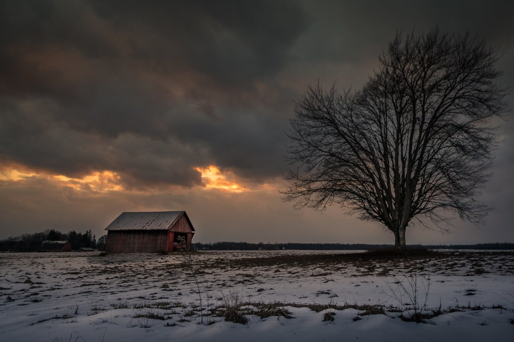
thundersnow aftermath by Christian Collins
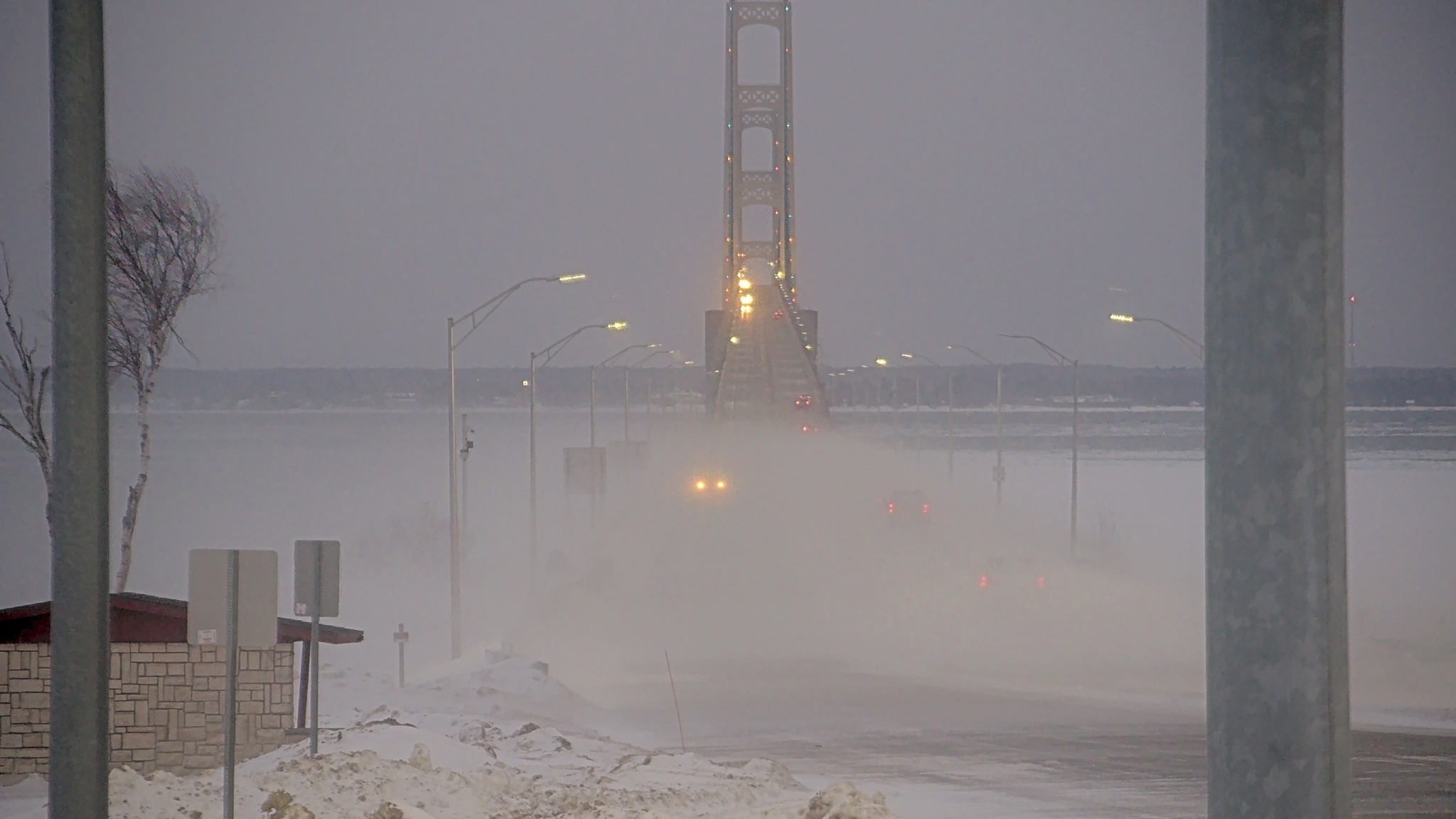
A reader commented that they had seen lightning & heard the rumble of thunder yesterday, an observation shared by numerous folks around the state. Although a lot of the online articles are hyping up thunder snow as a dangerous or abnormal phenomenon, it’s not.
The NOAA National Severe Storms Laboratory’s Severe Weather 101 explains that although thunderstorms are less common in the winter, sometimes lightning does occur within a snowstorms and is called thundersnow. Thundersnow can be found where there is relatively strong instability and abundant moisture above the surface, such as above a warm front. Thundersnow is sometimes observed downstream of the Great Salt Lake and the Great Lakes during lake-effect snowstorms too.
Christian took this back in February if 2017. See more in his barns – graneros gallery on Flickr.
PS: If anyone in the Upper Peninsula captured yesterday’s thundersnow on video, the National Weather Service Marquette Office would love to see it!