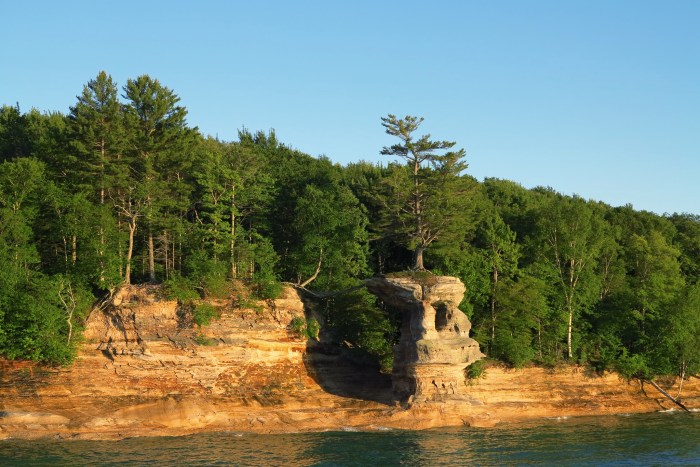
Chapel Rock by Craig Sterken Photography
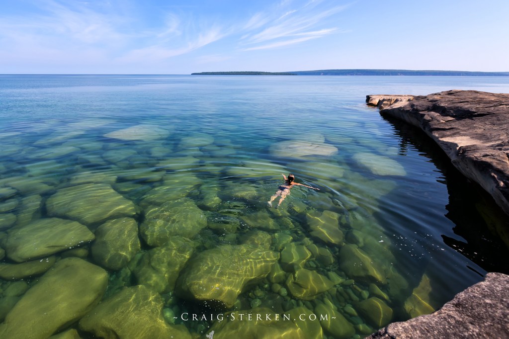
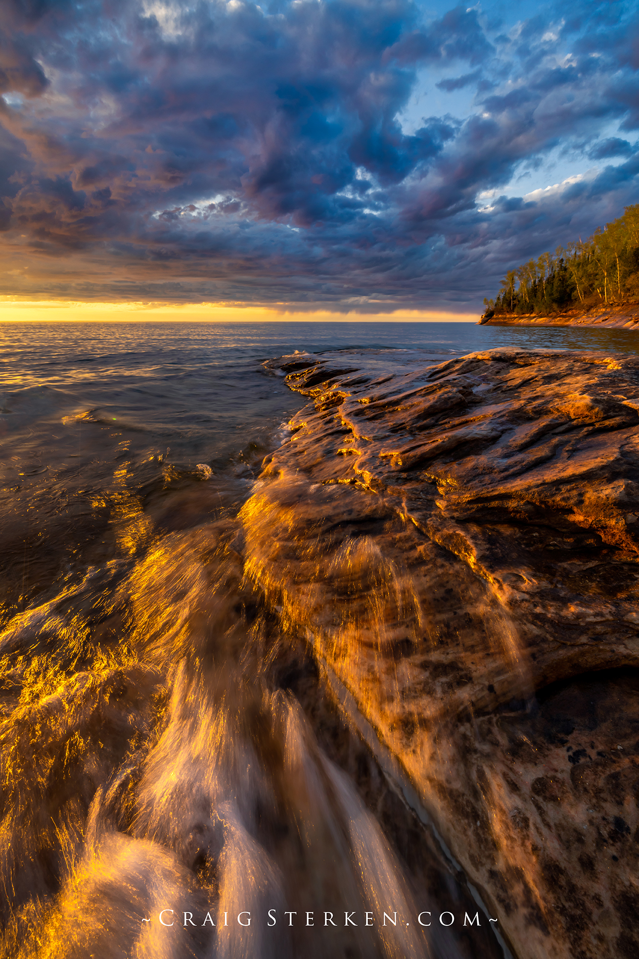
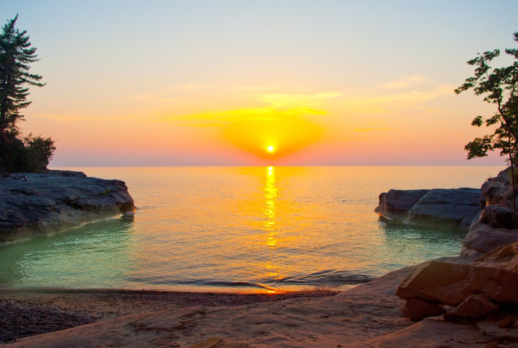
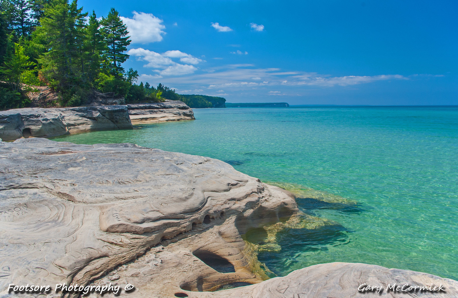
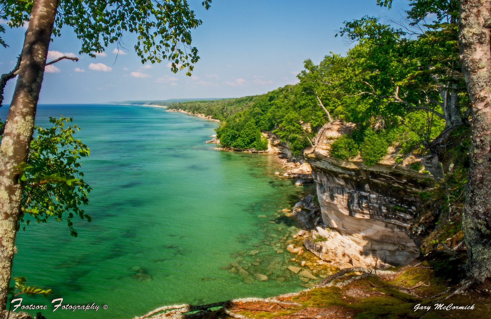
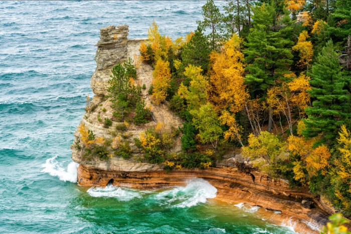
Michigan has some truly incredible sights, but I have to think that Chapel Rock in the Pictured Rocks National Lakeshore belongs at or near the top of any list of the 7 Wonders of Michigan. Apparently I started to compile a list back in 2015 & added Mackinac Island’s Arch Rock to it. Let’s add Chapel Rock as well. If you have suggestions for the list, share in the comments and then we can vote on them all!
The Pictured Rocks National Lakeshore says:
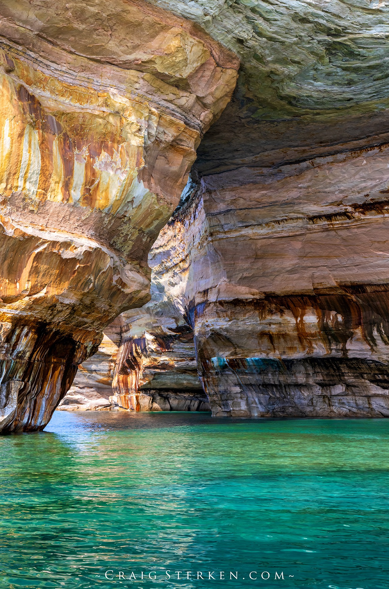
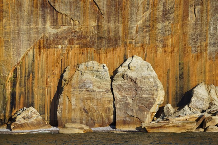
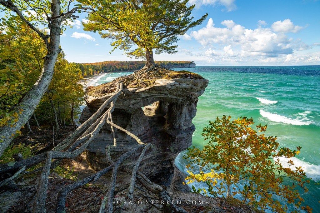
The Chapel area was named by early European explorers and is found on early maps as La Chappelle. Chapel Rock is a remnant of Cambrian age sandstone that was carved by Lake Nipissing high water some 3800 years ago. Continual erosion has carved the rock into the beautiful sculpture it is today. There once was an archway connecting the rock to the mainland (see pic below!). The arch collapsed in the 1940s. The lone white pine on Chapel Rock is estimated to be about 250 years old.
Atlas Obscura adds that a member of the Douglass Houghton expedition exploring Lake Superior’s southern shore described a single pine tree that grew like a “spire” out of the sparse dirt covering the top of the outcropping. Till this day, the same resilient pine stands sentinel over Chapel Rock, connected to the mainland by its extensive root system.
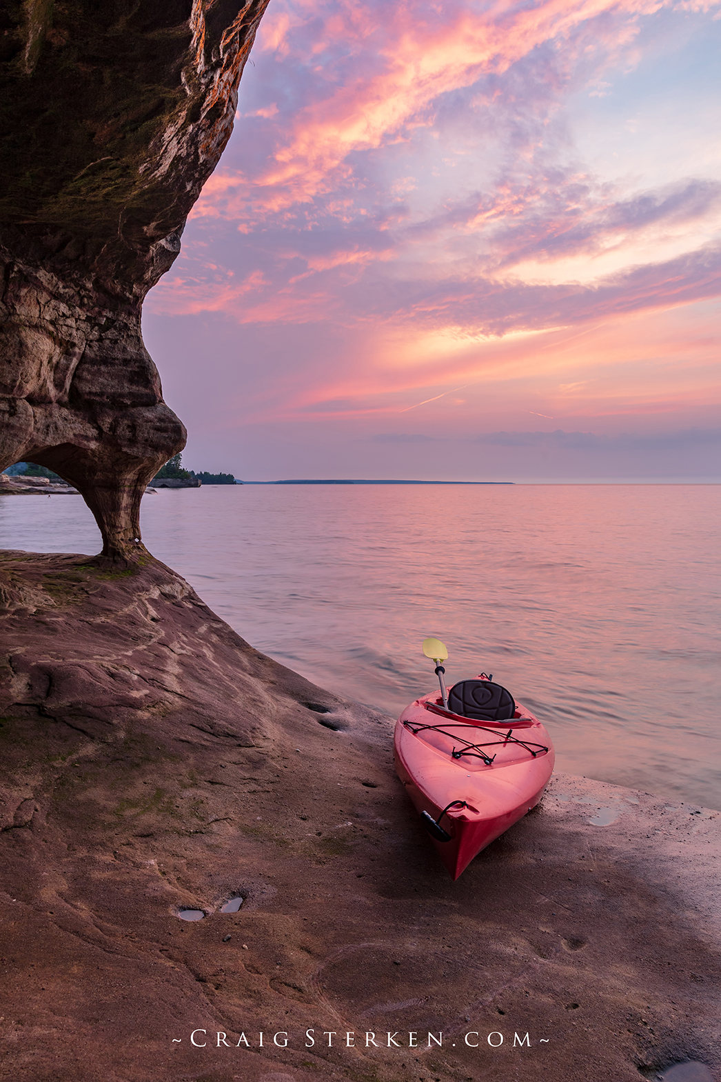
Craig shares that the cool weather has him thinking about autumn colors, and that he was honored to have this photo purchased by National Geographic for a book on national parks! I will for sure share the book when it’s out. You don’t have to wait to see more from Craig though! Follow Craig Serken Photography on Facebook and view or purchase his work on his website!
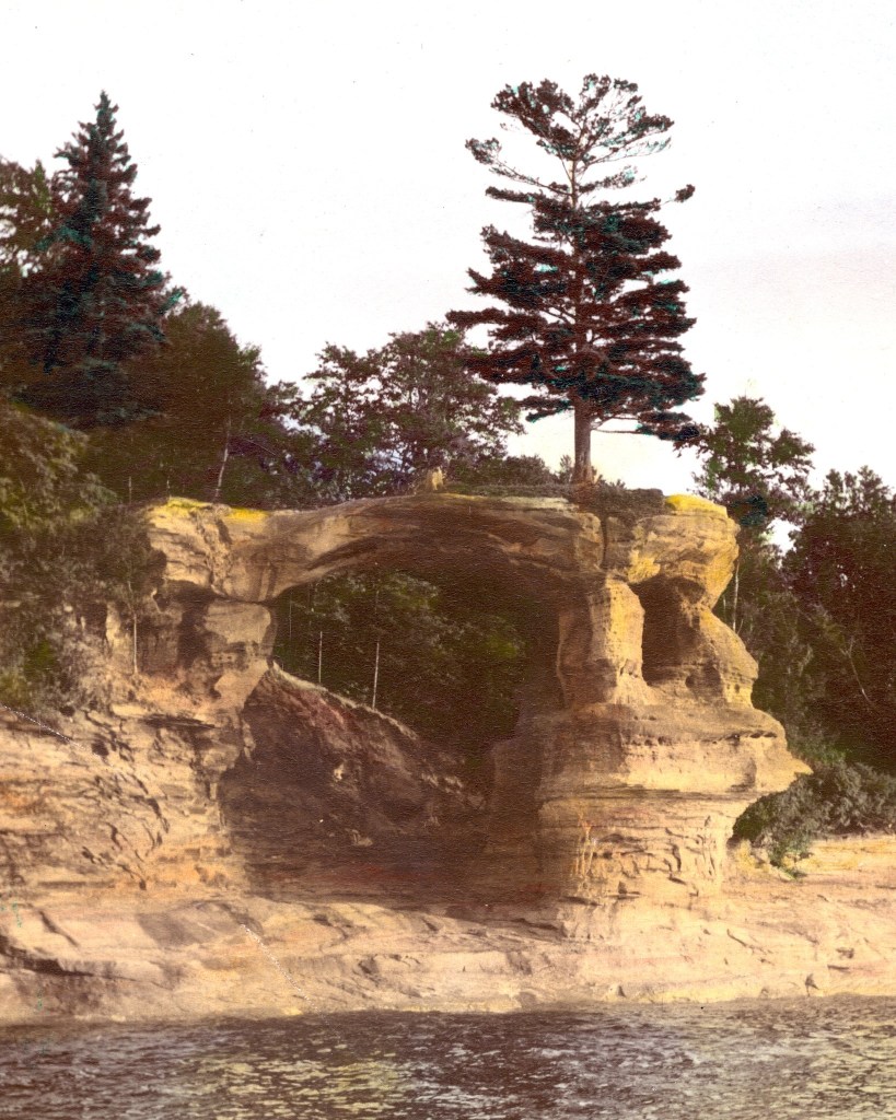
Chapel Arch by Pictured Rocks National Lakeshore