John shared a shot of the sunflowers that are currently painting Send Brother’s farm in Acme Township a brilliant yellow. He reminds you to be respectful of the fields (and trespassing laws) if you do stop here or anywhere for a photo! See the latest from John at TCPhoto on Facebook.
The 2000-mile+ Iron Belle Trail from Detroit to Ironwood, Michigan is the longest state-designated trail in the United States. The trail winds through over half of Michigan’s counties and is unique in that it has two routes: a biking route that travels along the eastern side of the state using existing bike paths, lanes, and designated routes; and a hiking route that follows the western side of the Lower Peninsula, incorporating sidewalks, trails and a significant portion of the North Country National Scenic Trail. If you click the link to the State of Michigan, they have a map of both sections of the Iron Bell Trail trail and their status!
FF Journal shares the sculpture stands on Belle Isle as the southern gateway of the Iron Belle Trail and is called One World Under Michigan Stars. The 25′ diameter sculpture steel sculpture weighs 8 tons and was created at Detroit Design Center by Erik & Israel Nordin.
It wouldn’t take much to convince me to move to Buttercup World...
Michigan has almost 20 species of buttercup, but I’m pretty sure this is Swamp Buttercup (Ranunculus hispidus). Michigan Flora from the University of Michigan Herbarium says that one place it’s found is in Houdek Dunes on the Leelanau Peninsula and that it grows in moist to usually dry upland places (oak forests, sandy knolls, etc.). The other two, more widespread varieties have practically the same habitats and may indeed grow together; they are characteristic of wet areas in forests and thickets along streams, ponds, and lakes, as well as ravines and in deciduous or cedar swamps.
Wikipedia adds the fun fact that “Ranunculus” means “little frog” in Latin & refers to its preference for wet environments. They also add the un-fun fact that all parts of the plant are mildly toxic if eaten and could cause minor skin irritation if touched. The foliage is poisonous for mammals such as cows, which avoid eating it, but small rodents and birds like turkey & grouse love the seeds!
Mark took this a while back in late June. You can see his latest on Facebook and view & purchase his work at Leelanau Landscapes.
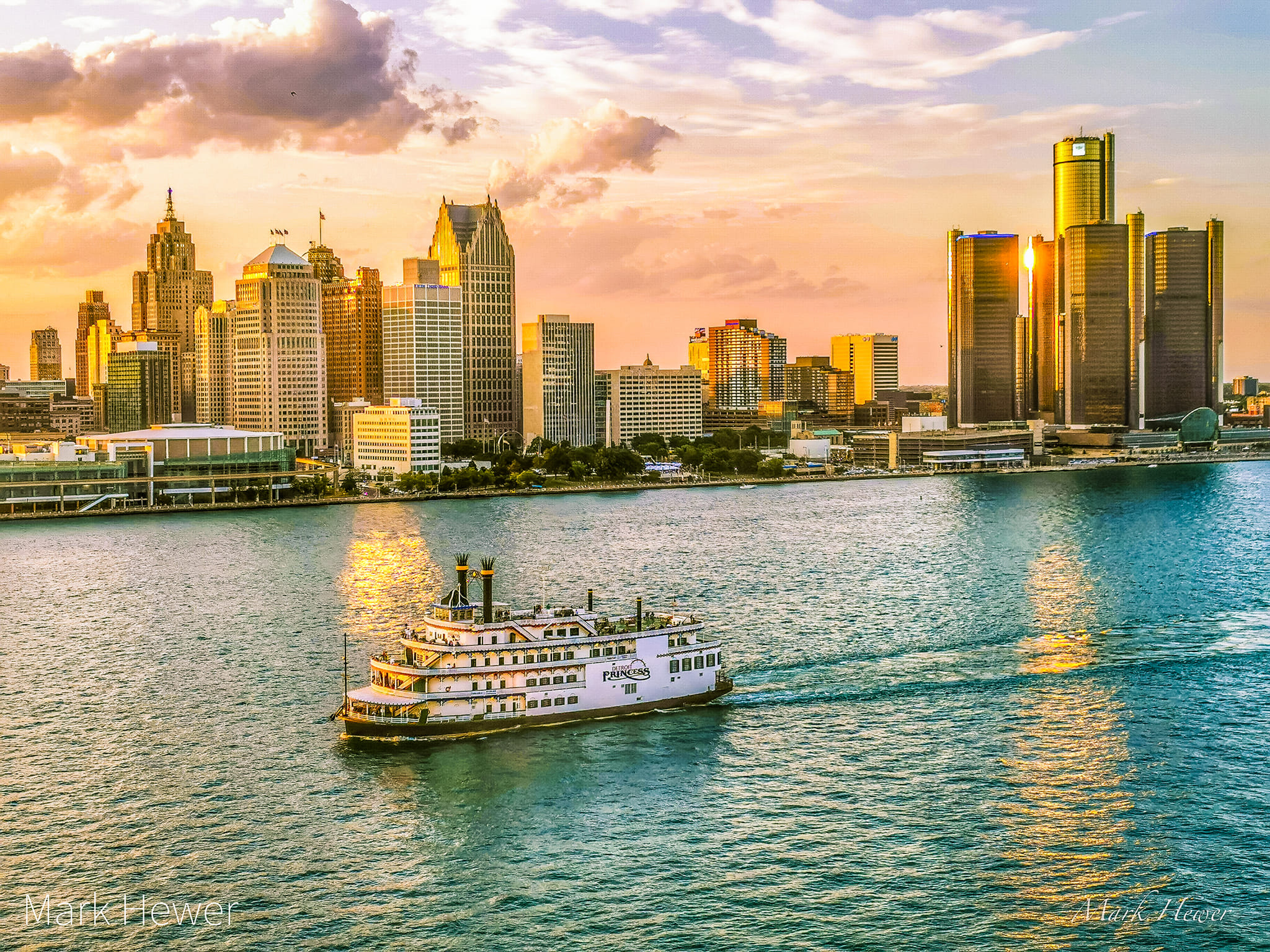
Friday is the 325th anniversary of the founding of Detroit on July 24, 1701 by Antoine de la Mothe, Sieur de Cadillac. The Detroit Historical Society has an excellent writeup on the Founding of Detroit that explains they “chose the narrowest part of the river, on a high point of the north shore, unfettered by any island and thereby easy to defend, as the site for Fort Pontchartrain, in honor of the French marine minister who approved their trip. The full name, Fort Pontchartrain du détroit, gave Detroit its French name. The area had been known by many names to various Indigenous peoples, including Waawiiyaataanong, meaning “where the river bends.” In the photo, it would be located behind the short white building on the left that is closest to the river.
I have apparently been saving this absolutely gorgeous photo of Detroit at sunset as seen from Windsor for two years! When Mark shared it, he wrote “Hey Detroit 🇺🇲 thanks from your friends over in Windsor 🇨🇦 for such a world-class skyline to look at. 🙏The view never gets old! ❤️the D #detroit”
While the photo wasn’t taken in Michigan, most of the pixels are in Michigan, and I want to send every bit as much cross border love back to Mark & all the lovely people of Canada! For sure follow Mark Hewer Photography on Facebook for all kinds of great shots of Detroit from across the river!
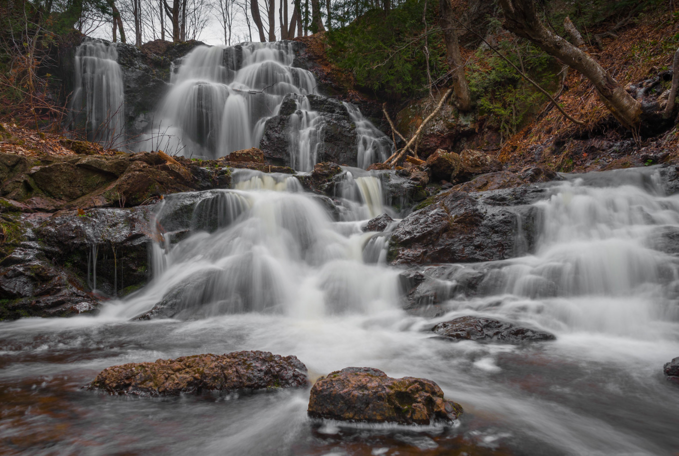
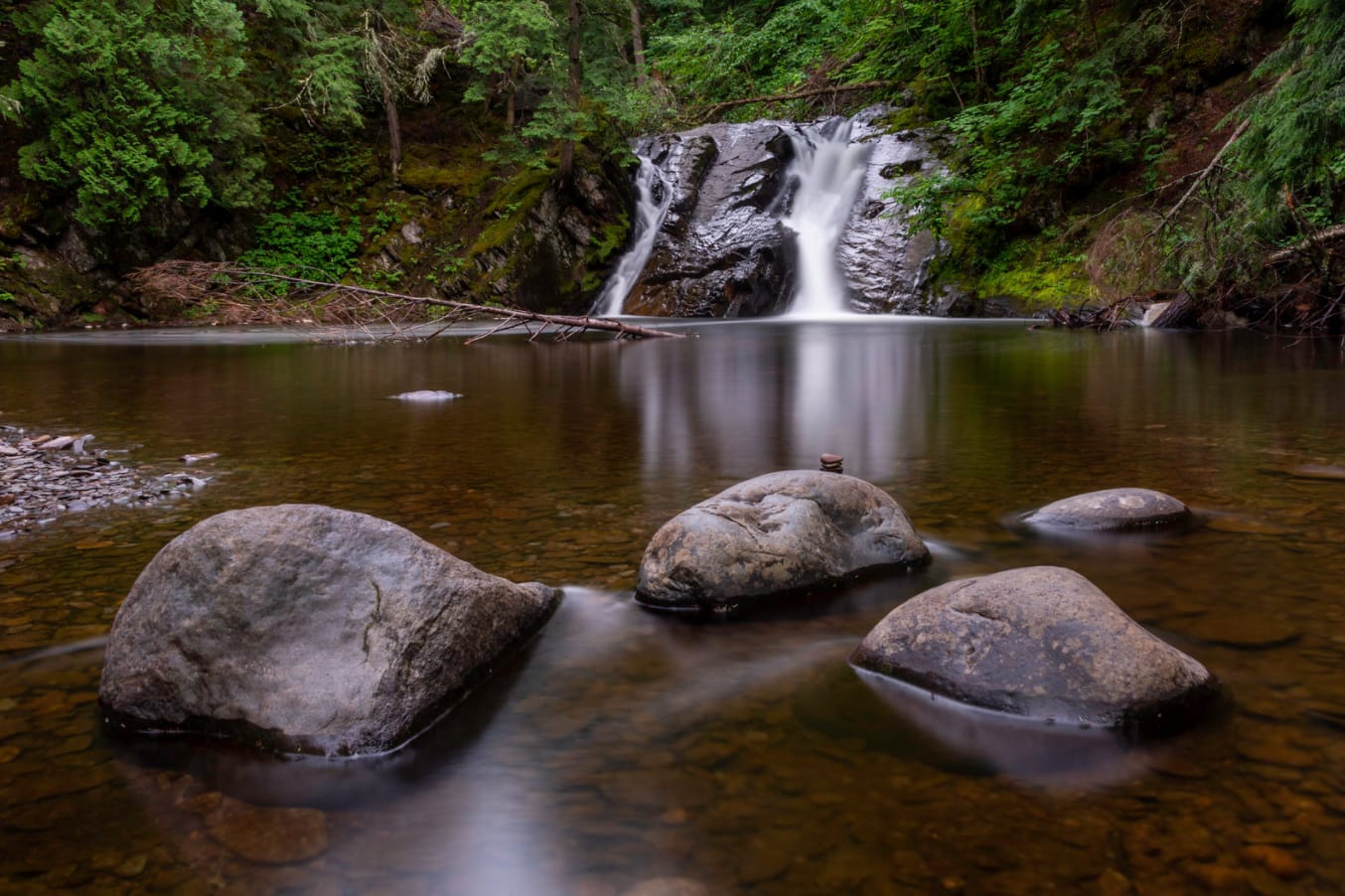
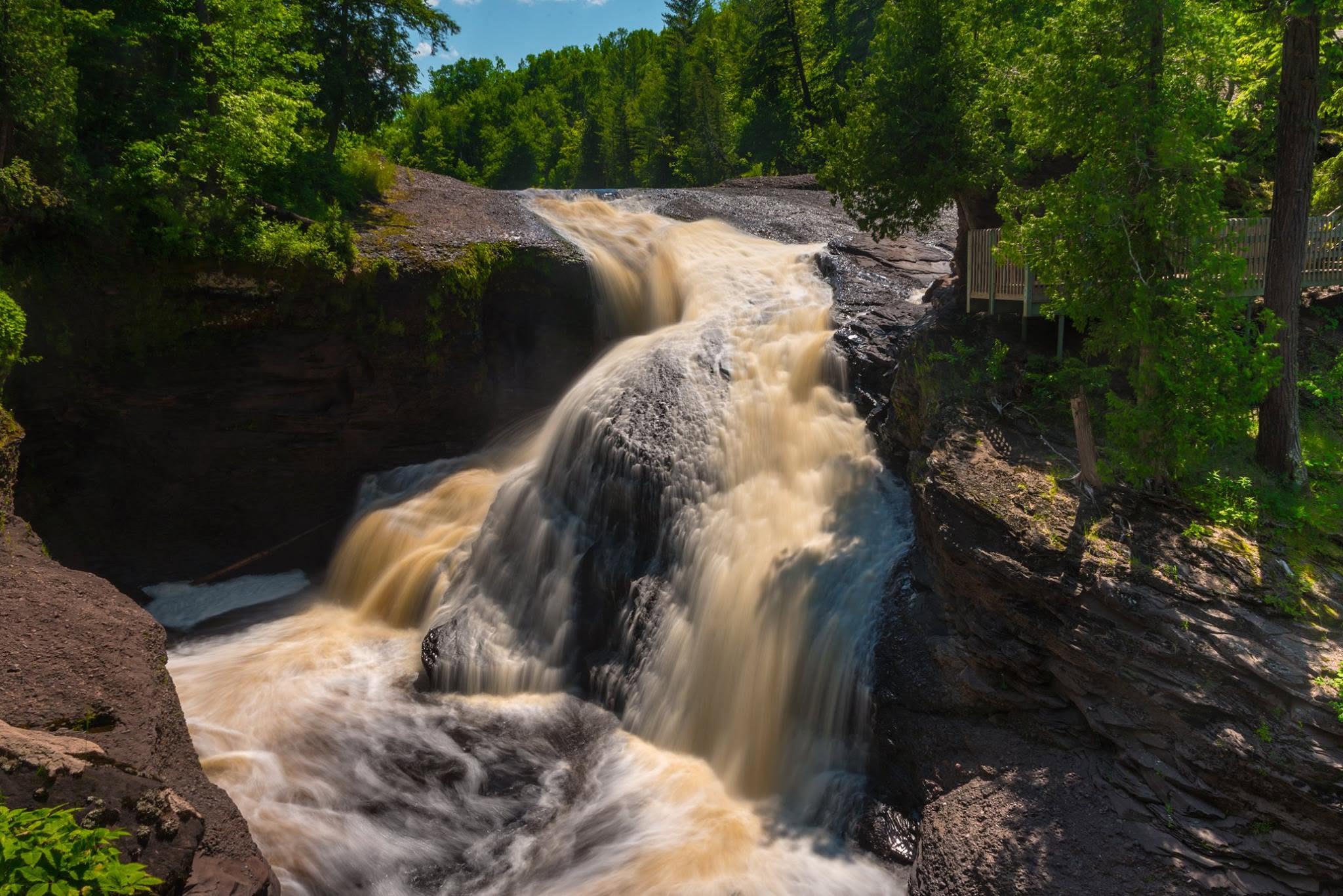
I shared this photo way back in 2015 with the comment that in addition to stalking the Petit Portal, it appeared I was stalking Eric Hackney as well. It’s been a minute since I have featured one of his photos, so I thought I would dust this post off & add some of my favorites from Eric that I’ve shared over the years along with still timely information about Gabbro Falls from GoWaterfalling:
Gabbro Falls is on the Black River and is as impressive, if not more impressive, than its more celebrated neighbors downstream along the Black River Scenic Byway. This is a largely wild waterfall with no fences or barriers of any kind. It consists of three separate drops. When the water is high there is a fourth drop that is the height of the other three combined. The main drop falls into a narrow crevice between two large rock formations.Gabbro Falls is relatively easy to find but there is some confusing information out there. The waterfall is also known as Baker’s Falls, and it is often mistakenly called Garbo Falls (gabbro is a type of rock). There is also a Neepikon Falls upstream, but it is just an unremarkable rapid.
Read on for tips on visiting and pages about nearby waterfalls on the Black River.
I shared this photo back in 2021 with the news that Michigan’s top baby names were Oliver & Charlotte. Although Charlotte remains atop the Social Security Administration Baby Name List five years later (followed by Amelia, Sophia, Eleanor & Evelyn), Oliver has been passed on the 2025 most popular baby name list by Theodore & Noah with Henry & James rounding out the top 5. Andrew is down at 62 – 20+ spots below when I was born. How is your name faring these days?
“By far, the greatest danger of Artificial Intelligence is that people conclude too early that they understand it.” —Eliezer Yudkowsky
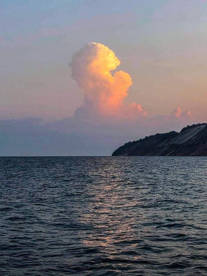
Heather took this picture 5 years ago when she rode her bike to the pier in Frankfort for sunrise & was delighted with the Michigan cloud next to the bluff as was I because – WOW! 😍
Reposting even though it will have some people shouting about AI, just as they were about suspicions of photoshop when I originally shared it. I do this in hopes you will feel the truth that none of these AI reimaginings have an iota of the impact that seeing a marvel like this in real life holds.
“It started life as a sapling, growing over the decades. It avoided fires until now and the last remnants of its being floated all the way here to land on you. That’s saddening. A beautiful tree to ash.” – A.S.
I live in southeast Michigan hundreds of miles from the fires that are choking our skies, but last night a solitary ash floated down & landed on my glasses. When I texted my best friend yesterday to tell them, they replied with the heartbreaking words above 😔
Bill took this photo yesterday in Plainwell & shared it in the Michigan in Pictures group on Facebook. I hope that you will share your pictures of what you’re seeing today and every day in there & that you follow Bill’s Pictures on Facebook!
Our air quality begins to dip across the majority of the state as we head into the mid-afternoon hours today, July 15th, 2026. By sunset tonight, nearly the entire state will see 150+ μg/m³ AQI concentration, which translates to very unhealthy on the air quality index. Overnight, those winds out of the northwest do not stop, bumping parts of our area into the hazardous to everyone category at 250.5-500 μg/m³ AQI concentration if recent short-term model trends are correct.
Dangerous air quality levels like these are rare, so please take your respiratory health very seriously. Smoke concerns mixed with the already excessive heat concerns both today and tomorrow will also be a factor for higher mortality rates amongst all age/health groups, per research collected by the National Library of Medicine (NLM). All data shown is for fine particulate matter (PM2.5).
For sure follow Michigan Storm Chasers on Facebook and the MiStormChasers YouTube channel that often includes live reporting on Michigan weather events. You can also check out the smoke tag on Michigan in Pictures for a reminder of what last summer’s wildfire smoke was like.
The top pic from the Mackinac Bridge Authority webcam is a view looking north from Mackinaw City while the other is looking south across the Mighty Mac from St. Ignace.
Livestream from the Riviera Motel in Mackinaw City
Here’s what the webcam view looked like when I posted this…