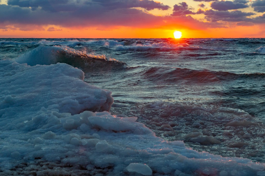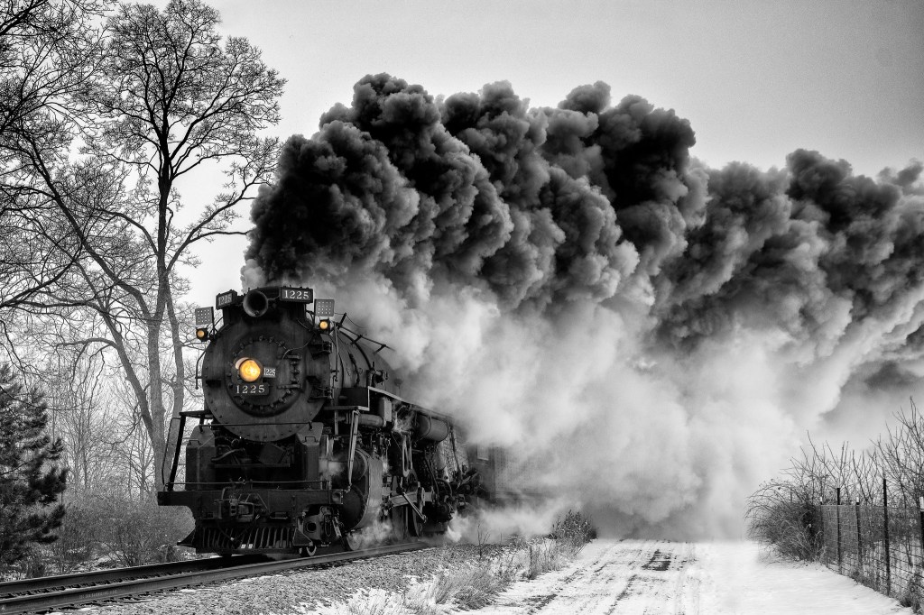
Polar Express Selective Color by Charles Bonham
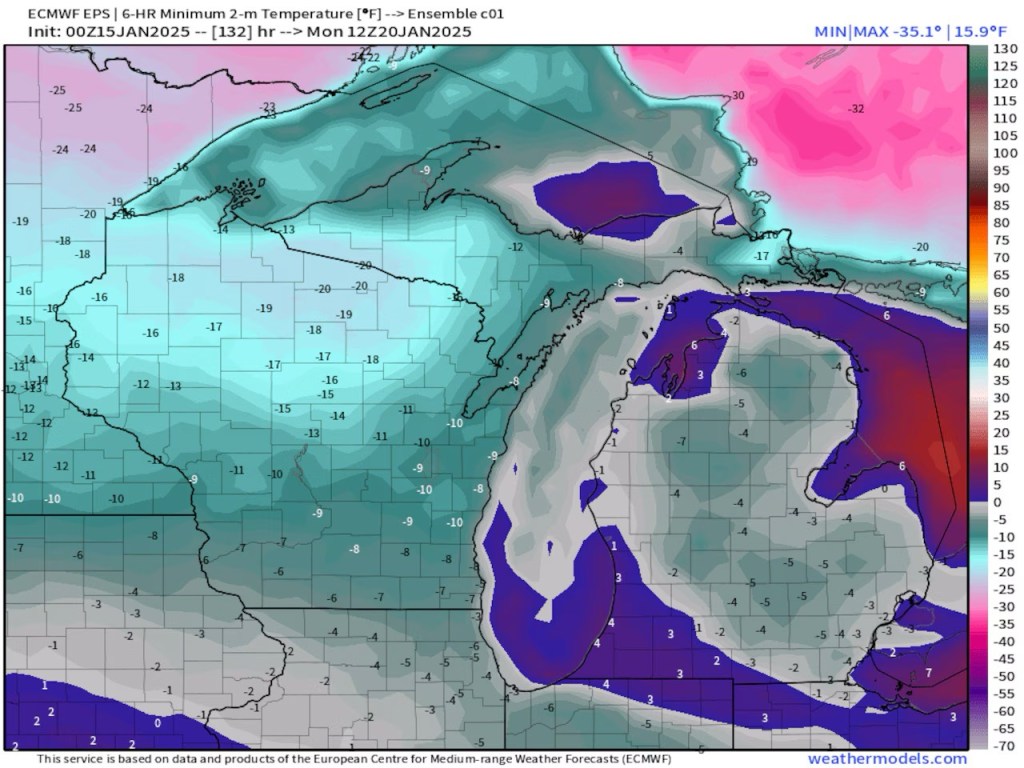
mLive meteorologist Bill Vandermolen shares that frigid air that began its journey in Siberia will be descending on Michigan on Monday:
When we get our normal cold here in Michigan the air moves from southwest Canada, across the northern Plains and into the Great Lakes region. A little stiffer brand of cold comes from northwest Canada in the Yukon Territory. Our most dangerous cold comes straight from the north. If the air is really cold it will originate in Siberia, cross over the North Pole and then pour south into the Great Lakes and Northeast.
We are probably just lucky the Great Lakes still have 35 degree to 40 degree surface waters. This same Arctic outbreak of cold would take us 10 degrees colder if it happened with colder Great Lakes’ waters. In looking at the pattern I wouldn’t be surprised to see another Arctic outbreak in a week or two when the lake water is colder.
Lucky indeed because even with the temperature moderation of the Great Lakes, the temps Monday & Tuesday do not look fun!
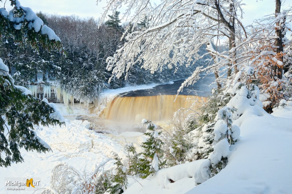
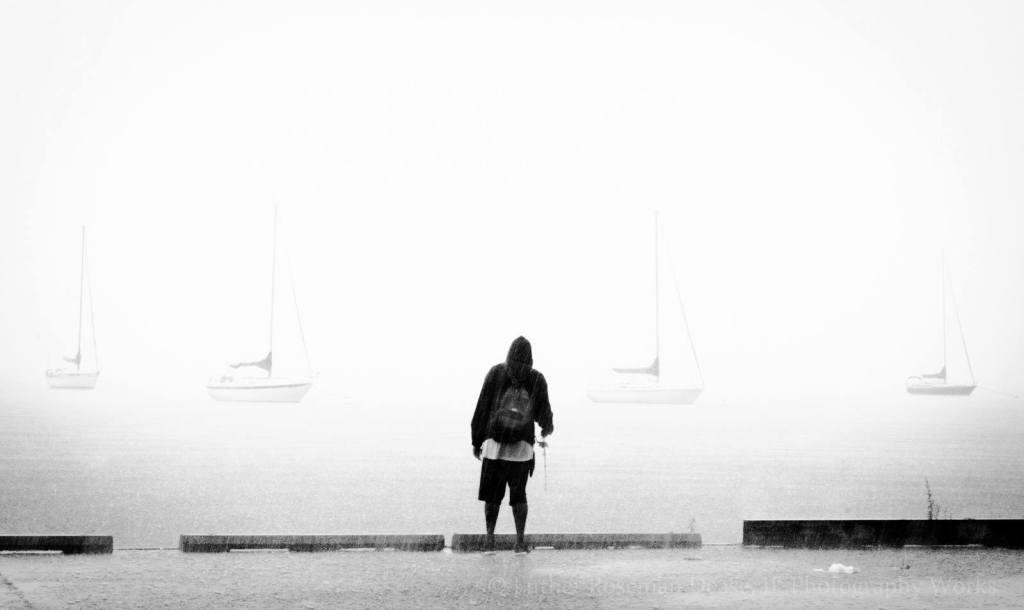
Charles is one of Michigan in Pictures’s most enduring photographers. He took the photo below earlier this week in Leland’s Fishtown & you can see more in his Steam Engine, Railroad Photos gallery on Flickr.
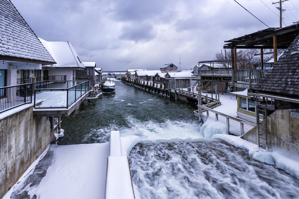
Fishtown Spillway by Charles Bonham
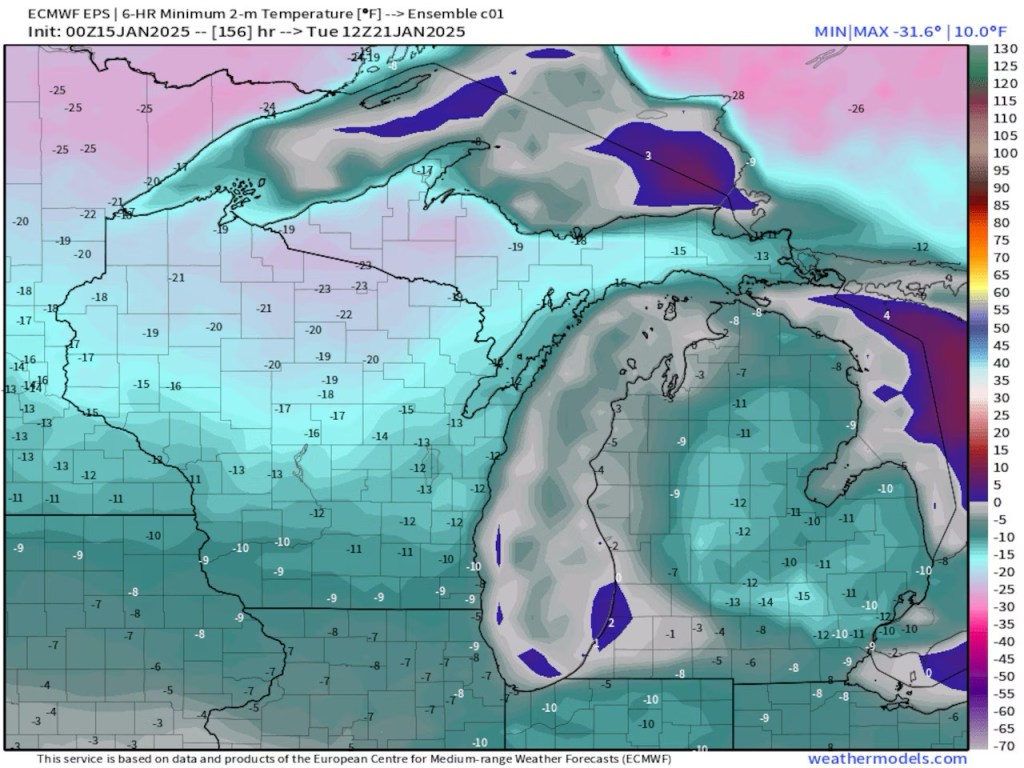
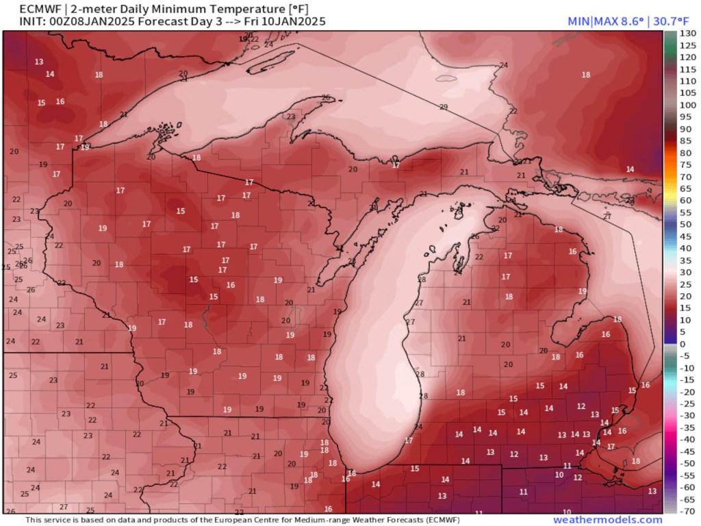
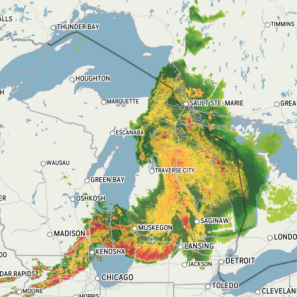
Temps on Monday & Tuesday