Mission Hill, Spectacle Lake & Fall Color 2015

Mission Hill View Upper Peninsula Michigan

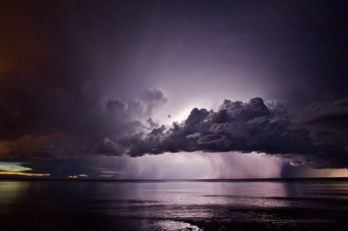
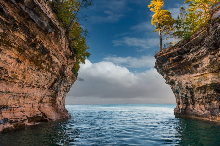
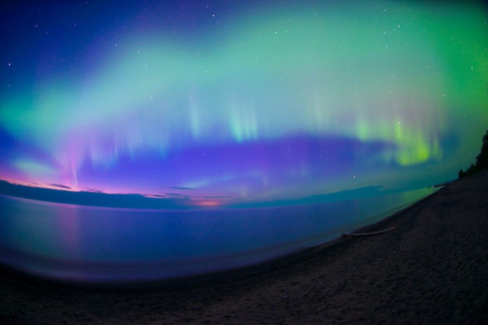
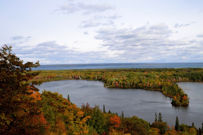
Mission Hill 3, photo by Susan H

Here’s a look-in on the current state of fall color in the northeastern Upper Peninsula. DWHIKE has this to say about the Mission Hill trail, which also affords views of Spectacle Lake & Monocle Lake:

Monocle Lake sits just inland from Lake Superior about a half hours’ drive west of Sault Ste. Marie. Along its south shore is a nice National Forest campground which serves as the trailhead for the days adventure. The Monocle Lake Trail heads east from the swimming area at the south end of the lake for little more than a quarter mile where it splits north and south in to the North Country Trail and the Mission Hill Trail respectively…

Directions to Trailhead: -Take Highway 221 north from M-28 west of Sault Ste. Marie. -Follow Hwy 221 for 2.5 miles, through Brimley, to Lakeshore Drive. -Turn left on Lakeshore Drive, follow it 5 miles to Tower Road on the left. -Follow Tower Road (which changes to dirt as you climb the hill) 1.5 miles to overlook and trailhead on the right.

Click above for a map where you can need both lakes and get more about the Monocle Lake Trail from the DNR.

Susan took this photo on Sunday. View it big as the sky and see more in her UP slideshow.

Lots more Fall wallpaper on Michigan in Pictures!

(U.P.) Weather Gone Viral

Lake Superior Weather Channel Thunderstorm

Thunderhead over Superior, photo by Lake Superior Photo

Regular Michigan in Pictures contributor Shawn Malone of Lake Superior Photo created the official music video for David Helpling’s “As The World Falls Away.” It features her latest cinematic time-lapse work filmed entirely in the Upper Peninsula of Michigan merged with sequences from NASA’s ISS to form a stunning visual & auditory journey.

It will appear on the The Weather Channel in their “Weather Gone Viral” episode that airs tonight on The Weather Channel. She says they’ve told her 10 PM EST, but check your local listings.

View Shawn’s photo bigger on Facebook and see more of her work at Lake Superior Photo!

Here’s the full video:

Summer to Fall

Looking Out at Pictured Rocks

Looking Out, photo by Peter Tinetti

What a perfect photo from the Pictured Rocks National Lakeshore for the last day of summer as we prepare to make the leap into autumn tomorrow.

View this photo background bigtacular and see more in Peter’s slideshow.

There’s more Pictured Rocks and more Fall wallpaper on Michigan in Pictures!

Marquette Lower Harbor Ore Dock

Marquette Lower Harbor Ore Dock

Lower Harbor Ore Dock, photo by Rudy Malmquist

Travel Marquette shares the story of the Iron Ore Dock in Marquette’s Upper Harbor is also known as the Presque Isle Dock.

The dock was built in 1911 and is still commercially active. Each year approximately 9.5 to 10 million tons of ore are shipped from this dock. The dock is owned and operated by the Cliffs Natural Resources. This steel-framed dock is 1,250 feet long and 60 feet wide, with the top deck sitting 75 feet above the water level. It contains 200 pockets, each of which has a capacity of 250 tons of ore, for a total storage capacity of 50,000 tons. Supporting the dock is a foundation of 10,000 wooden piles enclosed by a 12-inch thick timber sheet plank wall filled with sand.

After being mined the ore is crushed and the iron separated out with either a chemical or magnetic process. The iron is combined with a binding agent (a glorified cornstarch) and rolled into small balls roughly an inch in diameter. The balls are fed through a kiln and fired by temperatures exceeding 2,000 degrees F. The result is Taconite Pellets which are loaded on the ore boats and shipped. Most of the pellets shipped from the Presque Isle dock go to Algoma Steel in Sault Ste. Marie, Ontario the largest integrated steel mill. These pellets, which are roughly 70% iron, will be combined with coke and limestone at the mill to make steel.

The ore comes to the dock via railcars and is dumped into steel “pockets” or bins beneath the tracks. To load the boat, the chute is lowered to the open cargo hatch and a door at the bottom of the pocket opens, allowing the pellets to run into the boat shown in the picture. Loading time is variable, depending on the size of the boat and how prepared the dock is to load. Four hours is typical. Loading is the responsibility of the First Mate. It is important to load the ore in a proper sequence to avoid over-stressing the boat unevenly. Each chute (or drop of ore) is about 20 tons.

View Rudy’s photo big as the sky and see more in his slideshow.

More Marquette and more aerial photography on Michigan in Pictures.

Winter is Coming … and it might not be all that bad

Munising Ice Caves

munising ice caves/curtains, photo by Paul Wojtkowski

The Freep reports that El Niño in Pacific could mean mild Michigan winter:

Less ice on the Great Lakes would ease the freighter shipping industry’s logistical nightmares of recent winters. Less snow-melt runoff in the spring could forestall flooding that sends nutrients off farms and into Lake Erie, fueling its summer algae blooms. And deer populations that have dropped dramatically in the Upper Peninsula over recent harsh winters could begin to rebound.

…Over a century, comparing Michigan’s normal winter precipitation versus 10 El Niño events between 1915 and 1992, rain and snowfall was about 72% of normal in the Metro Detroit area during the El Niños; 78% of normal in the Thumb area, and in the 80% to 85% range of normal throughout the rest of lower Michigan and the eastern Upper Peninsula, according to NOAA.

You can read on for more. While that means that we might not have as much ice cave fun in Michigan this winter, I think I’m OK with an El Niño intermission!

Check Paul’s photo of this winter’s incredible ice caves on Grand Island out background bigalicious, see more in his slideshow and follow Paul Wojtkowski Photography on Facebook!

More ice caves on Michigan in Pictures!


Twilit Aurora from the Keweenaw Peninsula

Twilit Aurora Borealis

Twilit Aurora, photo by Eric Hackney

Wowzas!!! Here’s the northern lights as seen last night from the Keweenaw Peninsula. Space Weather is saying that there’s a good chance of more strong northern lights tonight!

I’ve written about the science behind the colors on the Northern Lights, but how about some highlights of the beliefs about colors of the aurora from ancient people around the world?

In Bulfinch’s Mythology, Thomas Bulfinch claimed in 1855 that in Norse mythology: The Valkyrior are warlike virgins, mounted upon horses and armed with helmets and spears … When they ride forth on their errand, their armour sheds a strange flickering light, which flashes up over the northern skies, making what men call the “aurora borealis”, or “Northern Lights”.

The Algonquin think the lights are their ancestors dancing around a fire.

The northern lights in Scotland were known as “the mirrie dancers” or na fir-chlis. The dance often ended in a fight – “the mirrie dancers bled each other last night”. The appearance of the lights also predicted bad weather.

In Latvian folklore the aurora borealis, especially if red and observed in winter, are fighting souls of dead warriors especially if it is red and seen in the winter. It is an omen foretelling disaster.

Russian folklore associates the northern lights with the fire dragon (“Ognenniy Zmey”). The dragon came to women to seduce them when their husbands were gone.

The Finns named the northern lights revontulet, or fox fires. According to their legend, foxes made of fire lived in Lapland. And, the fox fires were the sparks they took up into the atmosphere on their tails.

Click for more including photos!

View Eric’s photo bigger and see more in his 9-7-15: Northern Lights V slideshow.

Many more Michigan aurora pics on Michigan in Pictures!

Caribbean of the North

Carribean of the North

Caribbean of the North, photo by Cory Genovese

A while back I featured this as the cover photo on twitter.com/michpics. It’s so great I had to share it here as well! Cory wrote:

A day trip kayak cruise with a couple of friends on Lake Superior resulted in us finding ourselves in the “Caribbean of the North”…albeit with the pool heater unplugged ;)

Indeed! View the photo bigger and see more Lake Superior amazingness from Cory and be sure to follow him at facebook.com/PhotoYoop!

Sea Cave on Superior

Sea Cave by Craig

Sea Cave on Lake Superior, photo by Craig

The Pictured Rocks National Lakeshore geology page says (in part) that:

During the Nipissing “high stand,” Chapel Rock and Miners Castle as well as many less prominent features (such as perched sea caves near Little Beaver Lake Campground) were carved into the Cambrian sandstone by wave action.

Quite the whittling job by Gitche Gumee!

View Craig’s photo bigger on his Facebook page and see more jaw-dropping Lake Superior pics on Craig’s Flickr.

Enjoy your weekend everyone!

Superior Flight

Superior Flight

Superior Flight, photo by Cory Genovese

Cory writes:

Have a Yoop-tastic weekend and be sure to get your Superior flight on ;)

I’ve got an amen for that!

View cory’s photo bigger, see more in his Yoop Life slideshow and definitely follow him at PhotoYoop on Facebook!

Waterfall Wednesday: Spray Falls

Spray Falls in the Pictured Rocks

Spray Falls, photo by David Juckett

Go Waterfalling’s page on Spray Falls begins:

Spray Falls is the remotest, and perhaps the most impressive of the several waterfalls in Pictured Rocks National Lakeshore. The 70′ waterfall plunges over the cliffs at Pictured Rocks and lands directly in Lake Superior.

The falls is right on the edge of the cliffs, and the creek has not cut back into the cliffs at all, so it is impossible to view the falls from the front unless you are on the water. The cliffs are sheer for miles in both directions, so there is no way to get near the base of the falls without a watercraft. Lake Superior is too cold for swimming. :)

The Lakeshore Trail passes right over the top of the falls, and you can get right to the brink of the falls. Be careful because the cliffs are undercut and unsafe in many places. About 1/4 mile east of the falls there is a safe lookout point from which you can get a nice, but distant, side view of the falls. There is a sign marking the lookout.

Read on for more including tips on hiking in and photos from the top. You can get views like this on the Pictured Rocks Cruises.

View David’s photo background bigtacular and jump into his slideshow for more great views of the Pictured Rocks!

More summer wallpaper and more Michigan waterfalls on Michigan in Pictures.