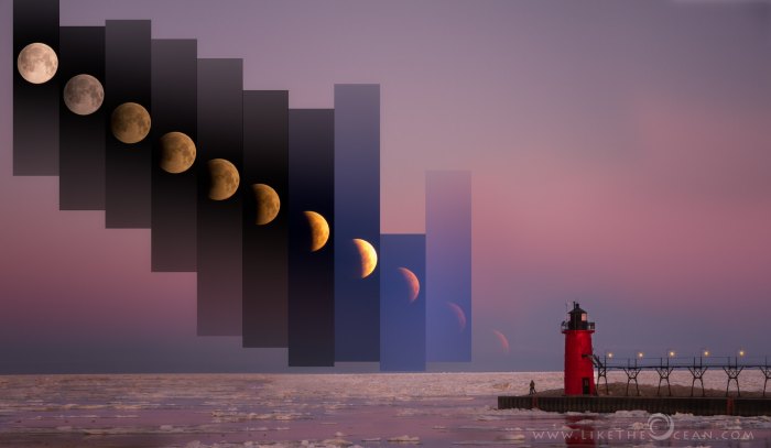
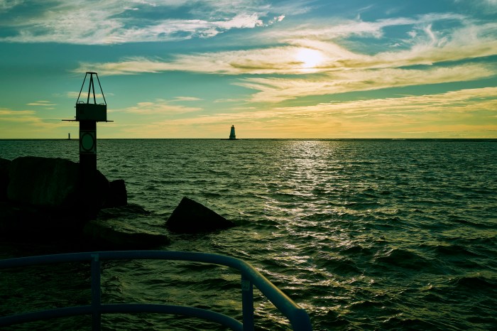
Lunar Eclipse by the Lighthouse by Sathya
If the weather cooperates, tonight & early tomorrow morning hold a whole lot of skywatching potential for Michiganders! In addition to the peak of the Leonid meteor shower, NPR shares the details on tonight’s lunar eclipse:
West Coast night owls and East Coast early risers will have the best view of the upcoming lunar eclipse this Friday. Overnight, the moon will pass into the shadow of Earth cast by the sun, illuminating the gray orb with a red hue.
It will be the second and final eclipse of the year. NASA predicts the eclipse will last over 3 hours and 28 minutes. That would make it the longest partial lunar eclipse in 580 years, according to the Holcomb Observatory at Butler University.
…For U.S. viewers the peak of the eclipse — when the moon is the most covered by Earth’s shadow — will be at 4:03 a.m. ET.
But the moon will begin to pass into the Earth’s shadow much earlier, around 1:00 am ET. At 2:19 a.m. ET the moon will move into the umbra, the inner part of Earth’s shadow, and begin to look like a chunk is missing from it. It will turn red around 3:45 a.m. ET
Sathya shares the story behind this photo from April 2015, saying in part, “Witnessing the lunar eclipse was magical. Planning and shooting the same was a lot of fun. Out here, in the north east of US, the lunar eclipse was not total, so missed out on the blood moon, but it was still a scintillating experience. As the moon was getting into total eclipse, it set over the horizon … This shot is a mix of landscape and time slice – in an attempt to highlight the lunar eclipse in the context of the surrounding landscape. This was a panorama made out of a composite. Though it does not look like a wide view, that is what helped capture the moon and the lighthouse in context.”
See more in his Showcase gallery on Flickr & on his website Like the Ocean.

Share Michigan in Pictures:

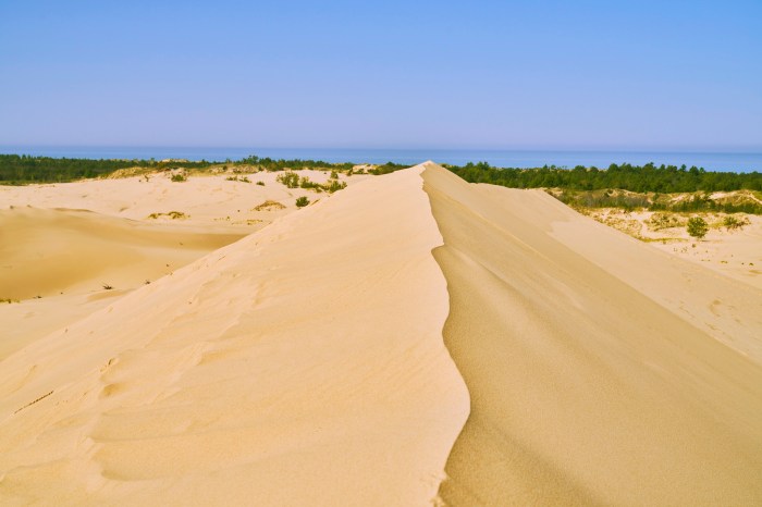
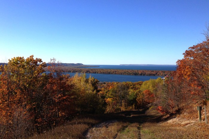
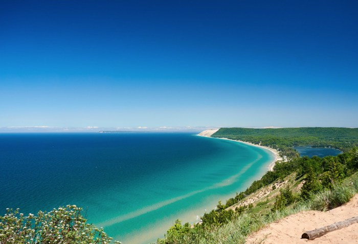
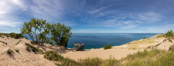
 Beginning in 1919 a small portion of what is now the national lakeshore was set aside as a state park. The idea of a national park in northwestern Michigan did not surface until the National Park Service’s Great Lakes Shoreline Survey visited the area in 1958. Between 1959 and 1970 there was a continuous and controversial effort in Congress to create a park unit around the Sleeping Bear Dune. The legislative leader of the Sleeping Bear park proposal was United States Senator Philip A. Hart. The senator’s persistence and patience in the end led to the creation of Sleeping Bear Dunes National Lakeshore on October 21, 1970.