Reflections on the Ludington North Breakwater Light

Ludington North Breakwater Light by Todd and Brad Reed Photography

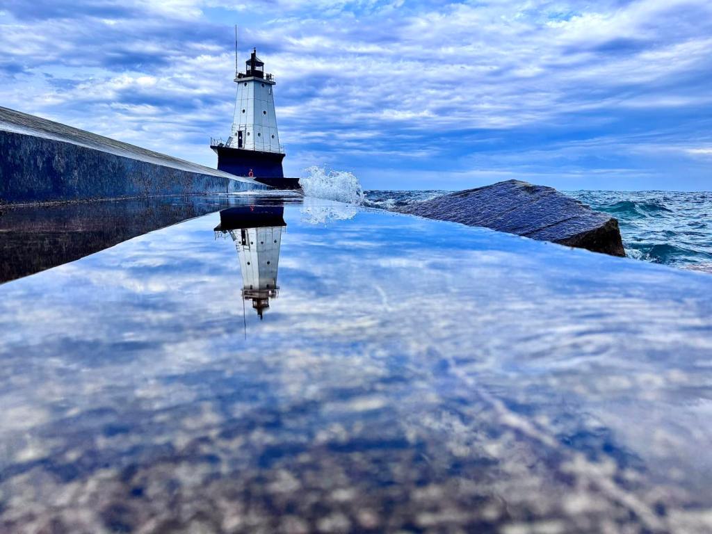
Ludington North Breakwater Light by Brad Reed

The entry for Ludington North Breakwater Light at Terry Pepper’s Seeing the Light details a ton of the history of this lighthouse including the reason for its interesting appearance:

Over the summer of 1924, a unique structure took shape at the end of the North Breakwater. The main tower, fabricated of steel plates over an internal steel skeleton, took the form of a four-sided pyramidal tower with four round porthole windows on each of the three decks within. With plans calling for the installation of an air diaphragm fog signal operated by an electrically powered compressor, there was no need for a large fog signal building, and thus the signal building took the form of a relatively small structure integrated into the base of the landward side of the main tower. In order to help protect the structure from the force of waves crashing across the breakwater, the concrete foundation at the base of the structure was formed with angled surfaces designed to deflect the force of wave action up and away from the building.

Click through for more about the North Breakwater Light including a number of old photos by the Great Lakes Lighthouse OG, Terry Pepper.

Todd and Brad Reed are a father and son outdoor photography duo who have teamed up with Rachel Gaudette. All three are based in Ludington, and you can view & purchase their work at their gallery in downtown Ludington, on Facebook, or on their website.

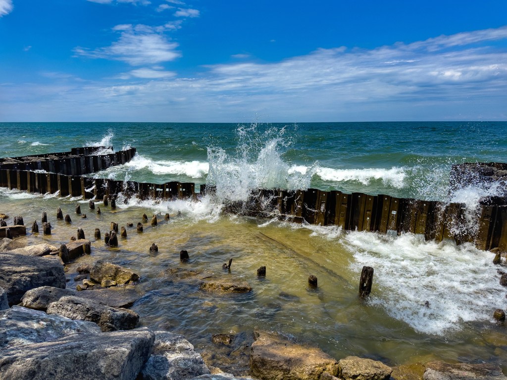
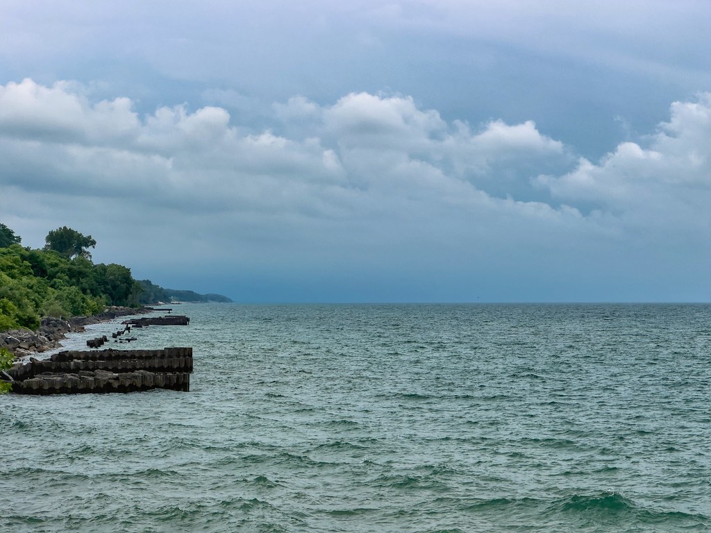
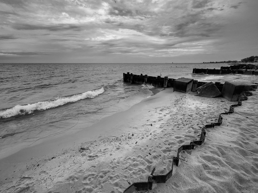
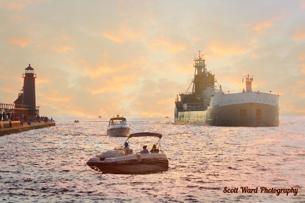
More Lighthouses & more Ludington on Michigan in Pictures!

Support Michigan in Pictures with Patreon

The Scent of Pure Michigan

Vineyard with a View by Mark Smith

Vineyard with a View by Mark Smith

National Public Radio shares that Pure Michigan has a new partnership to develop fragrances inspired by some of the signature scents of Michigan including its beaches, flowers and vineyards. You can listen to the NPR feature below & learn more about the fragrances at the Aroma Labs.

You can also tell us what you think some great Michigan fragrances are to inspire tourism. I’m gonna go with Leelanau Cherry Blossom!

Mark took the photo above in 2019 overlooking Lake Michigan near Northport and the one below from St. Wenceslaus Church in the middle of Leelanau County. Head over to Flickr for his latest and for sure visit Leelanau Landscapes to view & purchase his work!

Sea of Blossoms by Mark Smith

Sea of Blossoms by Mark Smith

Support Michigan in Pictures with Patreon

Climate Change devouring Great Lakes beaches

Breakwall by Mark Swanson

Breakwall by Mark Swanson

Michigan Sea Grant shares a recent Science Line story about how extreme changes in water levels, fierce storms, decreasing ice coverage, and infrastructure that interferes with the natural coastal cycle are washing away beaches & baffling local officials charged with protecting Great Lakes beaches:

…“When we get 15 foot waves on Lake Michigan, I’m thinking, ‘Oh, my God. How much damage are they doing?’” says David Bunte, the supervisor for Chikaming Township, near the southern tip of Lake Michigan.

Water levels fluctuate naturally in the Great Lakes but intensifying climate change accelerates those changes. What used to be normal on a 20 year cycle is now happening in five or 10 years, says Mike Shriberg, an environmental policy researcher at the University of Michigan.

“We’re seeing record highs and then record lows much closer together,” says Shriberg, whose work focuses on Great Lakes water policy. “The Great Lakes has already experienced more water level change in the last decade than the saltwater coasts are expected to experience in the next 100 years.”

Ice normally acts as a buffer for the shoreline, absorbing the blows of powerful waves in winter storms, but as temperatures warm, diminished ice coverage in the Great Lakes is speeding up coastal erosion.

Read on for much more. If you’re not yet aware of Michigan Sea Grant , I encourage you to learn more about this cooperative program of the University of Michigan, Michigan State University, and the National Oceanic and Atmospheric Administration that funds research, education, and outreach projects designed to foster science-based decisions about the use and conservation of Great Lakes resources.

Mark took this photo at the beach in St. Joseph. Here’s a few more of Mark’s recent shots from the St Joseph’s Lake Michigan shoreline – note the crazy high water! See the latest in his 2025 gallery on Flickr!

Support Michigan in Pictures with Patreon

Jellyfish Stormfront

Jellyfish Stormfront by Tom Parrent

Tom shot this terrifying image of the August 2, 2015 superstorm from Traverse City’s Old Mission Peninsula. See more on his Facebook.

Check out a full retrospective on one of the strongest storms in Michigan’s modern history on Leelanau.com.

Support Michigan in Pictures with Patreon

Double Rainbow over Munising Bay

Double Rainbow over Munising Bay by Michigan Nut Photography

Double Rainbow over Munising Bay by Michigan Nut Photography

The unrelenting flooding across Michigan and the country has a lot of us looking for the rainbow, and thankfully Michigan Nut found two for us! The National Weather Service shares how double rainbows are formed:

Sometimes we see two rainbows at once. Not all of the energy of the ray escapes the raindrop after it is reflected once. A part of the ray is reflected again, and travels along a different path inside the drop to emerge from the drop at a different angle. The rainbow we normally see is called the primary rainbow and is produced from one internal reflection. The secondary rainbow arises from two internal reflections and the rays exit the drop the second time at an angle of around 50 degrees, rather than the 42 degrees for the primary rainbow. This effect produces the secondary rainbow, with the colors reversed from the primary rainbow. It is possible for light to be reflected more than twice within a raindrop, but these additional rainbows are typically never seen under normal circumstances.

Atmospheric Optics (the OG rainbow site) adds that secondary rainbows appear broader than the primary rainbow, measuring approximately 1.8 times its width so the top rainbow is the copy!

John shared this photo of a doble rainbow over Lake Superior’s Munising Bay on his Facebook. For sure follow him there and view & purchase his work at michigannutphotography.com.

Support Michigan in Pictures with Patreon

2025 Chicago to Mackinac Race

Chicago to Mac Sailing Race at Mackinac Island by Stephen R. Cloutier

Chicago to Mac Sailing Race at Mackinac Island by Stephen R. Cloutier

The Chicago Yacht Club Race To Mackinac starts Friday morning (July 18). The Chicago to Mac is the longest annual freshwater sailing race in the world, spanning 333 statute miles from the start at the Chicago Yacht Club, up the western shore of Lake Michigan, passing under the Mackinac Bridge to finish at Mackinac Island. They explain that:

…the race’s unpredictable weather and shifting winds on Lake Michigan make it a supreme test of sailing skill, rivaling many offshore ocean races. What first began in 1898 with just five boats has now evolved into a world-class sporting event. The origins of the Race to Mackinac date back to 1898, when Joseph Myers designed two fin-keel sloops, Siren and Vanenna. These vessels sparked a competition between their owners, George Peate of Siren and W.R. Crawford of Vanenna, and after three races in June of 1898, Vanenna remained undefeated. This prompted the idea of a unique, challenging race – one that would forever change the history of sailing.

Lots more on the Race to Mackinac website. If you click the pic above, you can see more of Stephen’s photos. For sure follow him on Instagram for his latest! Also more about Round Island lighthouse on Michigan in Pictures!

Chicago to Mac at Mackinac Bridge by Stephen R. Cloutier

Chicago to Mac at Mackinac Bridge by Stephen R. Cloutier

Support Michigan in Pictures with Patreon

Michigan Air Quality remains terrible

Mackinac Bridge Haze July 14 by Riviera Motel of Mackinac City

Mackinac Bridge Haze July 14 by Riviera Motel of Mackinac City

The Huron Daily Tribune shares that the National Weather Service & Michigan Department of Environment, Great Lakes and Energy issued an air quality alert for elevated levels of fine particulate over the weekend:

“Pollutants across the state are expected to reach the very unhealthy to unhealthy range in northern locations, with ranges of unhealthy to (unhealthy for sensitive groups) further south,” according to the service. Wildfire smoke from Canada is pushing into Michigan from till Monday. Increased fine particulate levels reached the western portion of the Upper Peninsula on Saturday afternoon.

You can read more in the Tribune & also check out an interactive map of Michigan air quality from the Manistee News.

This zoomed in view of the live Mackinac Bridge webcam at the Riviera Motel shows how much the smoke from wildfires is impacting the view of the Bridge this morning in Mackinac City.

Support Michigan in Pictures with Patreon

Tune into the live Mackinac Bridge Cam!

Rainbow at the Riviera Motel of Mackinac City

Might Mac Rainbow by the Riviera Motel of Mackinac City

One of my favorite recent finds is the 24-hour live Mackinac Bridge Camera presented by Mackinac City’s Riviera Motel. Enjoy!!

Support Michigan in Pictures with Patreon

Michigan holiday travel will be off the charts!

Grand Haven Traffic by Scott Ward Photography

Grand Haven Traffic by Scott Ward Photography

mLive shares that a record 2.6 million people are expected to travel for the Fourth of July in Michigan, up 3% from 2024.

AAA projects nearly 2.4 million Michigan residents will take a road trip, up 2.5% from the same holiday period last year. Another 96,000 residents are expected to fly domestically, and more than 160,000 to travel by bus, train or cruise.

No word on how many will be traveling by personal watercraft, but probably a lot more than usual!! They say that the busiest days on the road will likely be Wednesday, July 2, and Sunday, July 6. with afternoon hours as the most congested.

See more in Scott’s Planes, Trains & Automobiles…Boats too gallery on Flickr. For sure view & purchase his work on his website and follow Scott Ward Photography on Facebook for his latest!

Support Michigan in Pictures with Patreon

Cool down, Michigan

Lake Superior Cool Down by Craig Sterken Photography

Lake Superior Cool Down by Craig Sterken Photography

Michigan will emerge from an absolutely BRUTAL heat dome later today, but until them I hope you can find a large amount of cool water to hide in!

Craig took this photo a few years ago on Lake Superior, I think at Presque Isle Park where the water temp is currently 48.2 degrees! Here’s a couple recent pics from Pictured Rocks that he shared on Facebook. See more there and for sure view & purchase his work on his website!

Support Michigan in Pictures with Patreon