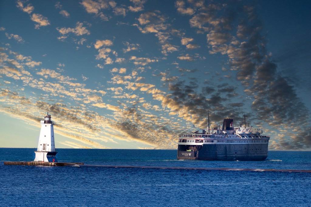
Chief Wawatam, St Ignace, MI by Bill Johnson
Central Michigan University’s Clarke Historical Library shares that on August 21, 1984, the Chief Wawatam sailed for the last time:
Since she first sailed the Straits of Mackinac between the upper and lower peninsulas of Michigan in 1911, the Chief Wawatam carried thousands of passengers, automobiles, and railcars. The last coal-burning vessel on the Great Lakes, the Chief Wawatam made a name for herself for reliable, efficient service across the often-treacherous waters of the Straits. It was often the Chief who would deliver food and fuel to other Great Lakes vessels who became stuck in the thick winter ice.
After the Mackinac Bridge opened in 1957, the crossing time was slashed from nearly an hour by ferry to a matter of minutes by car. While other ferries ceased running almost immediately, the Chief Wawatam stayed in service for another twenty-seven years before finally retiring. Four years later, the boat was sold to a Canadian firm that cut the 338-foot ferry down to a deck barge.
Bill took this photo back in 1979 & writes:
The Chief is closing in on the dock at St Ignace, MI after crossing the Straits of Mackinac with another load of freight cars. There’s a Soo Line crew waiting for the Wawatam’s arrival. They’re taking a break right now, as are the deck hands on the Chief. Soon, everyone will be hard at work, moving their share of America’s freight. This was a daily scene way back when and will never be repeated. I was lucky enough to catch the action on September 24, 1979.
See more in his Boats, Ships & stuff that sails album on Flickr & have a great weekend everyone!

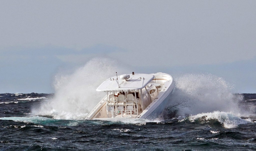
Share Michigan in Pictures: