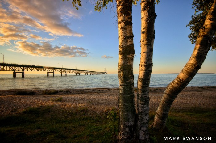
Straits of Mackinac by Mark Swanson
EDITOR’S NOTE: I believe that the Line 5 pipeline is a ridiculous threat to Michigan’s economy & environment, am quite pleased with it being shut down, and strongly hope that it is shut down for good. Sorry if that makes you sad or upsets you. 😉
Ed White of the Associated Press writes that a judge shut down Enbridge’s controversial Line 5 energy pipeline that travels under the Straits of Mackinac on Thursday after Enbridge reported problems with a support piece far below the surface:
Enbridge Inc. has not provided enough information to Michigan officials to show that continued operation of the west leg of the Line 5 twin pipeline is safe, Ingham County Judge James Jamo said.
Without the temporary order, “the risk of harm to the Great Lakes and various communities and businesses that rely on the Great Lakes would be not only substantial but also in some respects irreparable,” the judge said.
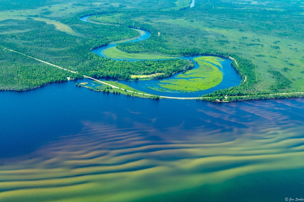
…Enbridge’s Line 5 carries oil and natural gas liquids from Superior, Wisconsin, to Sarnia, Ontario. A four-mile (6.4-kilometer) segment divides into two pipes that lie on the bottom of the Straits of Mackinac, which connect Lake Huron and Lake Michigan.
Enbridge last week said an anchor support on the east leg of the pipeline had shifted. The company said Line 5 itself was not ruptured and that no oil spilled into the water, but it still hasn’t explained how the incident occurred.
The east leg was shut down. But Enbridge said it resumed the flow through the west line Saturday after consulting with federal regulators at the U.S. Pipeline and Hazardous Materials Safety Administration.
The judge said he’ll hold a hearing Tuesday on the state’s request for a preliminary injunction that, if granted, could keep Line 5 closed indefinitely.
“With the continued operation of this pipeline, the risk of severe and lasting environmental damage to Michigan’s most important natural resource continues to grow every day,” Attorney General Dana Nessel said.
Read on for lots more. Nessel is not kidding about the potential damage to Michigan’s water from the company that devastated the Kalamazoo River back in 2010 with the largest oil spill in Michigan history. A University of Michigan researcher modeled Line 5 spill scenarios and found that more than 700 miles of shoreline in Lakes Michigan and Huron and on their islands are potentially vulnerable to an oil release in the Straits.
You can also dig into Enbridge’s take on their pipeline that carries Canadian oil through Michigan mainly to Sarnia, Ontario & the case against the LIne 5 at For Love of Water.
Mark took this photo three years ago of the Mighty Mac looking north from the Lower Peninsula across the Straits. See lots more in his Mackinac, Michigan album on Flickr.

Share Michigan in Pictures: