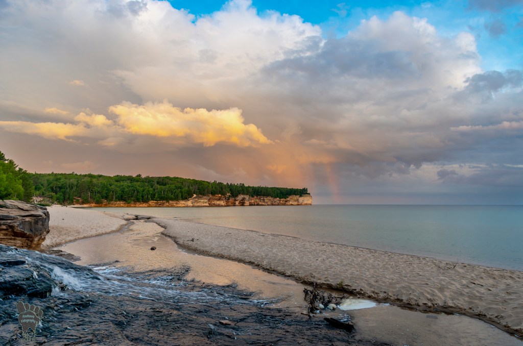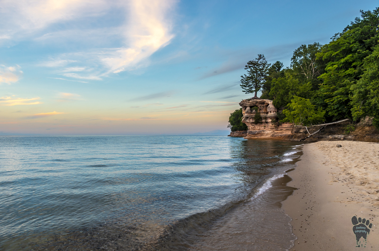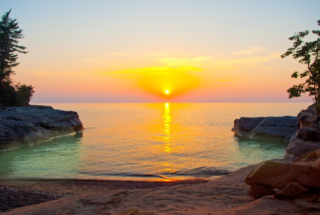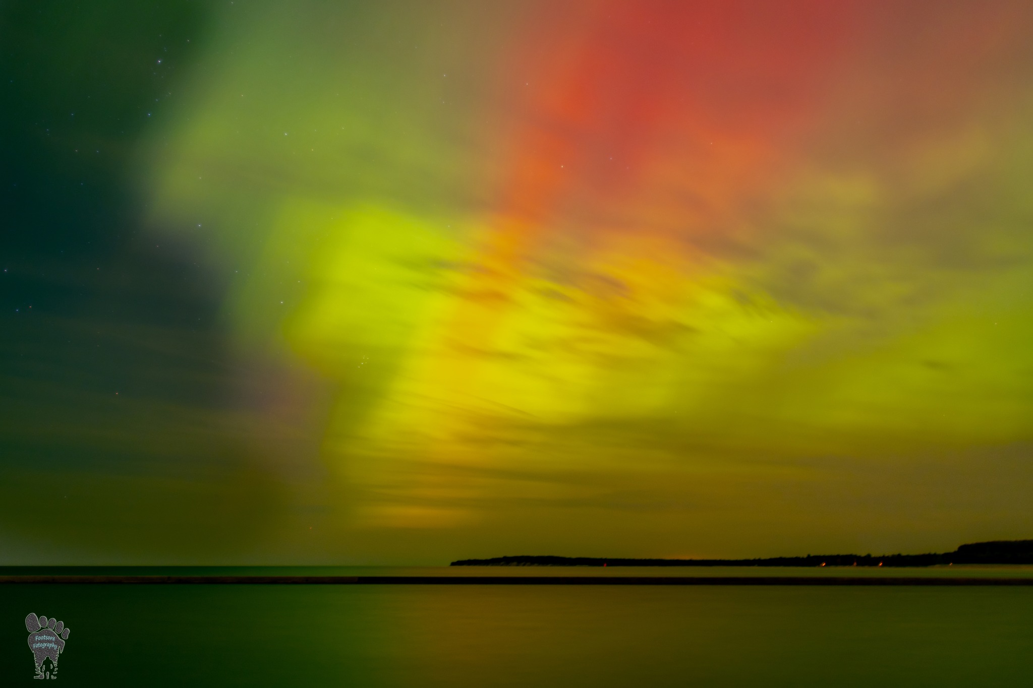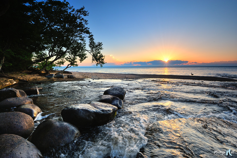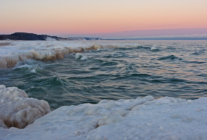
Winter morning on Agate Beach by Gary McCormick
Here’s a special Science Term Throwback Thursday from January 14th 8 years ago!
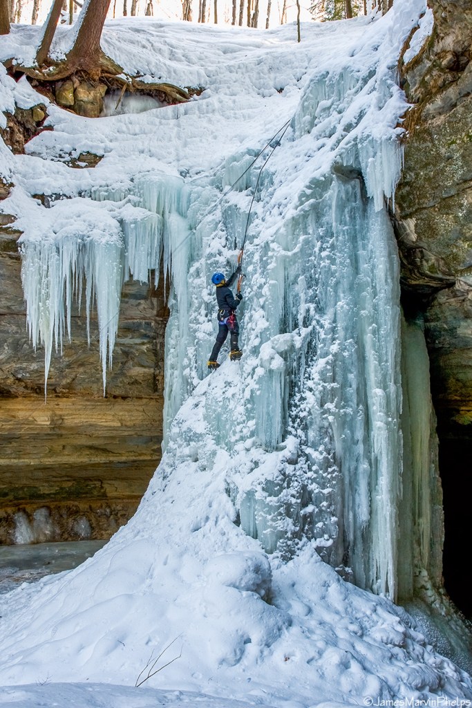
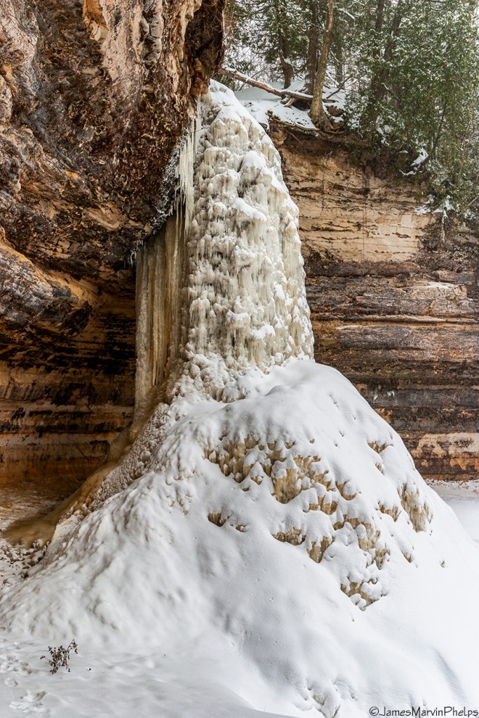
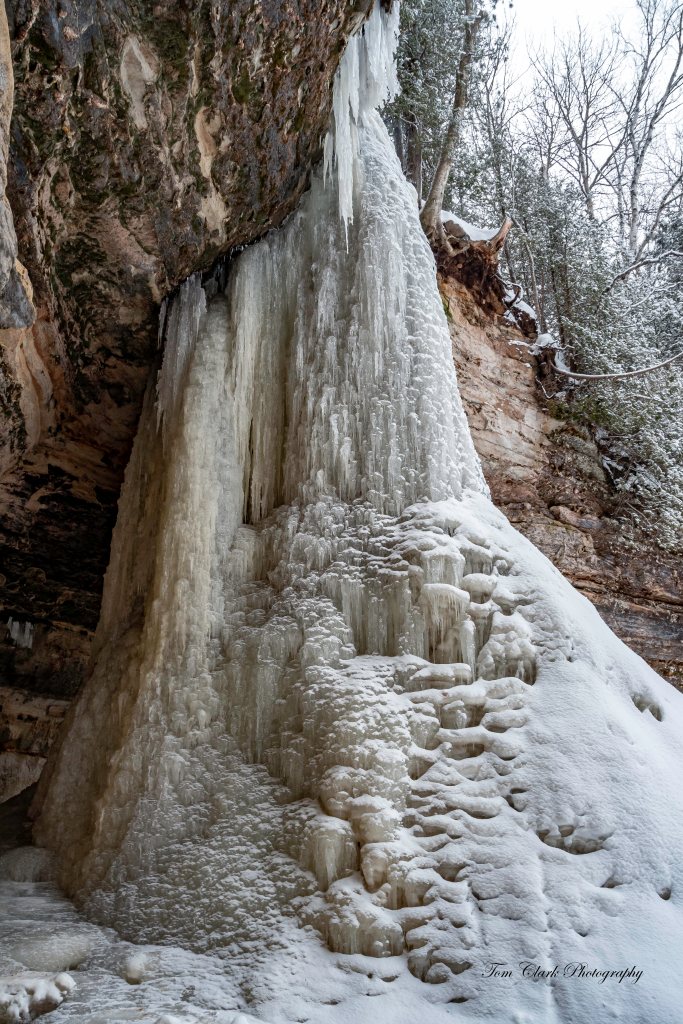
Ernest W. Marshall talks about a common winter feature along considerable stretches of Great Lakes shorelines, the Icefoot, a narrow fringe of ice attached to the coast:
Air and water temperatures must be sufficiently low before an icefoot begins to form. The conditions favorable for icefoot formation are broad open shorelines gradually sloping below water level, and facing so that wind-blown spray is carried inland toward the shore to freeze. The character of growth of an icefoot differs during different periods of the winter. During the course of the winter the icefoot may suffer periods of denudation alternating with periods of accretion. The development of an icefoot can be held at one stage by the early freezing of fast ice offshore. An icefoot can be composed of any combination of frozen spray or lake water, snow accumulations, brash, stranded icefloes, and sand which is either thrown up on the icefoot by wave action or is blown out from the exposed beaches.
Observations of the icefoot along the shorelines of Lakes Superior and Erie indicated that the moderately steep portions of the shore were characterized by narrow terraces composed of frozen slush and brash thrown up by storm winds. The outer edge of this icefoot was often cusp-like in form, resulting from the mechanical and melting action of the waves. The inner portions of the cusps acted to concentrate the wave action, forming blowholes which threw spray back on the icefoot.
You can click to read more.
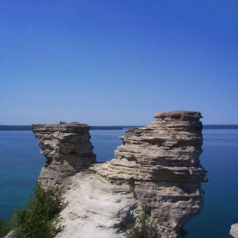
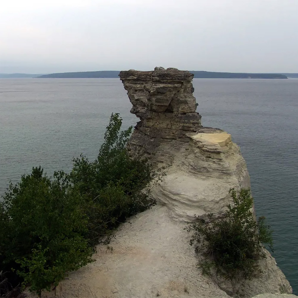
Gary took this photo at one of my favorite places, Agate Beach on Lake Superior in Grand Marais. In the distance is Grand Sable Dunes & the Pictured Rocks National Lakeshore. See more in Gary’s Grand Marais Michigan gallery including a shot of a staggeringly huge ice mound & view and purchase his work at Footsore Fotography.

Share Michigan in Pictures: