
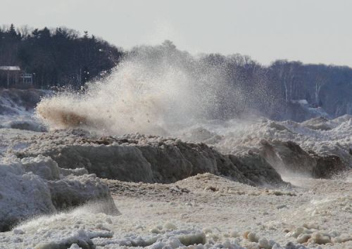
Low water levels, West Arm Grand Traverse Bay, photo by michiganseagrant
On Michigan in Pictures I usually blog beautiful things, but today I’m featuring an ugly thing that we in Michigan should all be concerned about. Traverse City based Circle of Blue has an in-depth feature on the record-low level of Lake Michigan-Huron:
The latest numbers released by the U.S. Army Corps of Engineers on February 5 show that both lakes Michigan and Huron — which are two connected lakes — are experiencing their lowest point since records began in 1918. Water levels were an average of 175.57 meters (576.02 feet) for the month of January, approximately 2.5 centimeters (1 inch) lower than the previous record set in 1964.
“Not only have water levels on Michigan-Huron broken records the past two months, but they have been very near record lows for the last several months before then,” said John Allis, chief of the Great Lakes Hydraulics and Hydrology Office at the Corps, in a press release. “Lake Michigan-Huron’s water levels have also been below average for the past 14 years, which is the longest period of sustained below-average levels since 1918 for that lake.”
The low water levels, which the Corps attributes to: below-average snowfall during the winter of 2011-2012, last summer’s drought, and above-average evaporation during the summer and fall of 2012, have the potential to hurt the Great Lakes’ shipping industry.
…For the water levels on Lake Michigan-Huron to reach even near-average water levels again, the Corps said it will take many seasons with above average precipitation and below-average evaporation.
Read on at Circle of Blue for much more including the struggles that wildlife are having with the changing climate. You can also view the release from the Army Corps of Engineers and see historic Great Lakes levels back to 1918. From the Army Corps, I learned that at 1 1/2 ft below normal, ships are losing 8-10% of their carrying capacity.
Beyond harm to the multi-billion dollar shipping industry which feeds countless industrial endeavors, the low lake levels are making many of our recreational harbors inaccessible. These feed our multi-billion dollar sport fishing industry and this has prompted Gov. Snyder to endorse a $21 million emergency dredging plan, $11 million of which would come from Michigan’s general fund. With over a half a million jobs in Michigan alone tied to the health of the Great Lakes, getting a handle on the threats that impact them are likely to be at the center of our policy and spending for a long time.
In a curious bit of synchronicity, you can see just how vital the Great Lakes are to Michigan in Michigan Sea Grant’s reports on Economic Vitality and the Great Lakes. View this photo bigger and see more in their Grand Traverse Bay Low Water slideshow.
Lots more Lake Huron and Lake Michigan on Michigan in Pictures.
Share Michigan in Pictures:


