2024’s Hurricanes are breaking our limits

Sandy’s Frankenwaves by Cory Genovese

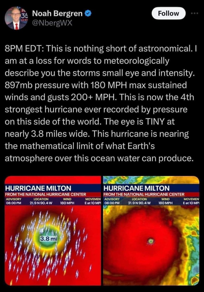
8PM EDT: This is nothing short of astronomical. I am at a loss for words to meteorologically describe you the storms small eye and intensity. 897mb pressure with 180 MPH max sustained winds and gusts 200+ MPH. This is now the 4th strongest hurricane ever recorded by pressure on this side of the world. The eye is TINY at nearly 3.8 miles wide. This hurricane is nearing the mathematical limit of what Earth’s atmosphere over this ocean water can produce. -Orlando Meteorologist Noah Bergren

The phrase “nearing the mathematical limit of what Earth’s atmosphere over this ocean water can produce” is one of the most terrifying I have ever read, especially when it directly follows Hurricane Helene that killed over 200 people and wrought devastation even in the mountains. Could this be the hurricane cycle that wakes people up to the reality of a changed climate or will we keep acting like it’s normal for hurricanes to wipe mountain towns off the map? Time will certainly tell.

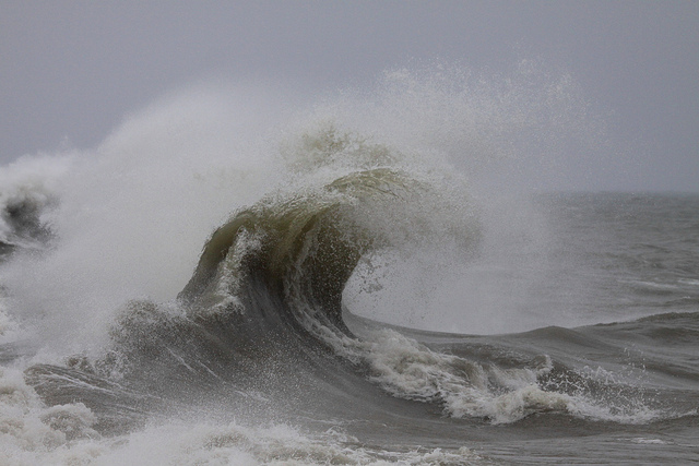
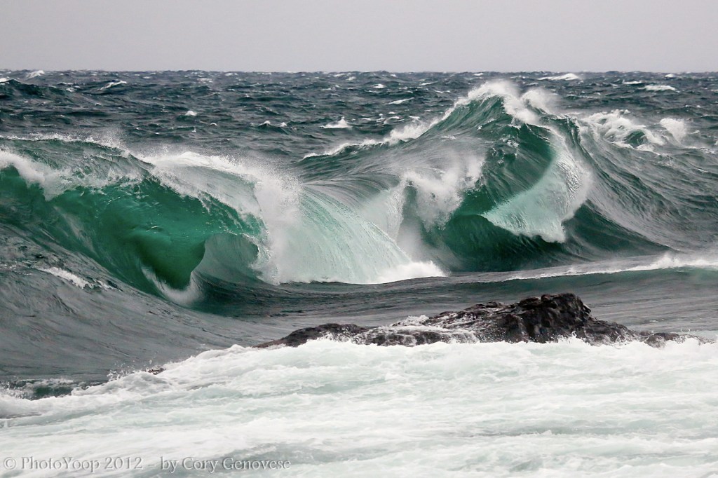
While it’s too early to forecast the impact of Milton on Michigan, Hurricane Sandy in 2012 produced the second highest wave height ever on Lake Michigan of 21.7 feet – click for all kinds of Lake Michigan Hurricane Sandy weather data from the NWS. Cory took this at Sugar Loaf just outside of Marquette way back in November of 2012 in the aftermath of Hurricane Sandy. See more in his Portfolio gallery on Flickr.

Support Michigan in Pictures with Patreon

Hurricane Huron: September 11-15th, 1996

Massive Wave at Port Sanilac

September Storm: Port Sanilac, photo by StormchaserMike

Hurricanes in Michigan?? from NOAA looks at several hurricane force storms and has this to say about “Hurricane Huron”:

While this storm was not from remnants of a tropical system, its development over Lake Huron had many uncanny likenesses to tropical systems…

The first likeness was its timing, forming over the Great Lakes right at the height of the typical hurricane season, September 11-15th, 1996. What started as a typical core-cold 500 MB low pressure system evolved into a warm-core system as it settled over the relatively warm waters of the Great Lakes, in particular, Lake Huron. The low pressure system actually had moved past Lake Huron but then retrograded, or was “drawn back”, to the relatively warm waters of Lake Huron. (Similar to the tropics, the Great Lakes usually reach their warmest water temperatures late August into mid September.) The storm then deepened and intensified at the lower levels of the atmosphere compared to aloft, typical of a warm-core low. It is believed that the warm waters of Lake Huron and associated low level instability over the lake were, to a large extent, the major contributing factors in this storm’s evolution. The storm went on to form a broad cyclonic circulation, including the “spiral bands and eye”, typically seen in hurricanes! At one point, the cyclone produced tropical storm force winds (39 – 73 mph) and some of the spiral bands even had rainfall exceeding 10 cm (better than four inches), causing some flooding.

This “Hurroncane” reached its maximum intensity during the day on September 14th, when a central pressure of 29.34 inches (993 MB) was recorded in the late morning by a Lake Huron buoy that fortunately was positioned, at one point, in the “eye”. By 2 PM, that “eye” measured close to 20 miles across and had a ring of tall convective clouds surrounding it, strongly resembling that of an “eye wall”. The convective showers encircled the “eye” well out over 300 miles.

You can read on for more including a satellite photo of the distinctive storm, check out Wikipedia’s entry on the 1996 Lake Huron cyclone, or go straight to the very detailed academic paper on Hurricane Huron that this article draws from.

Check Mike’s photo out bigger and see more in his awesome September Gale on Lake Huron slideshow. Mike also has a cool video of the storm on YouTube!

More hurricane-like weather on Michigan in Pictures.