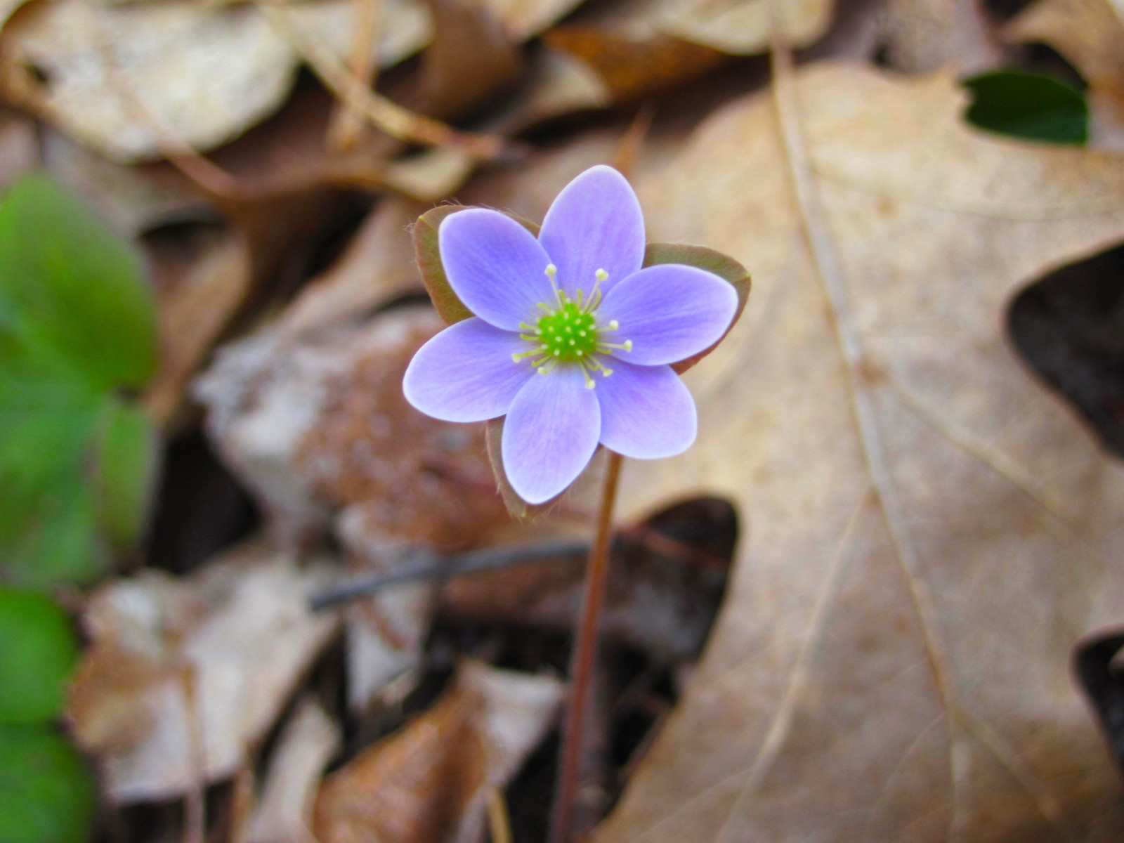
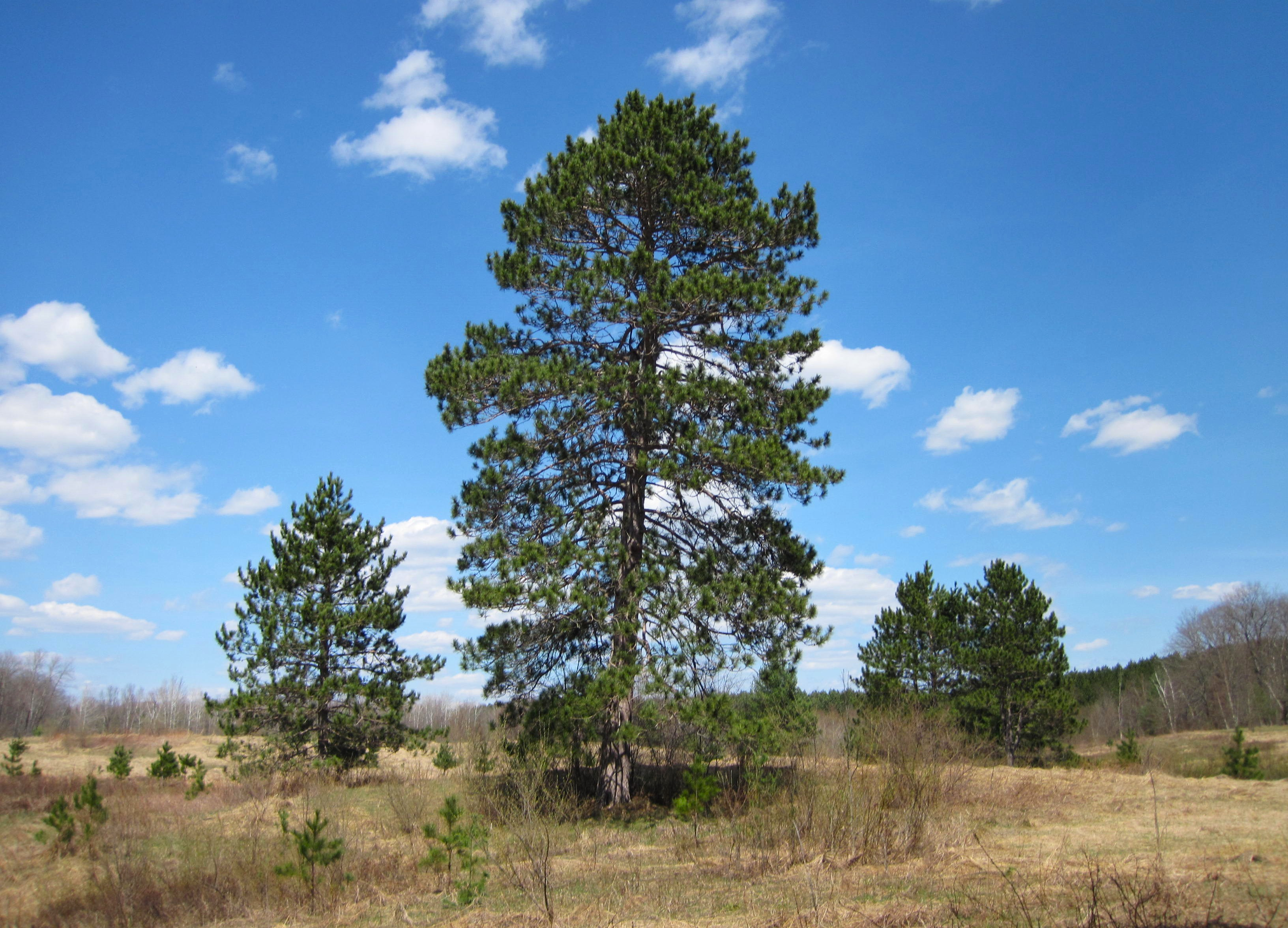
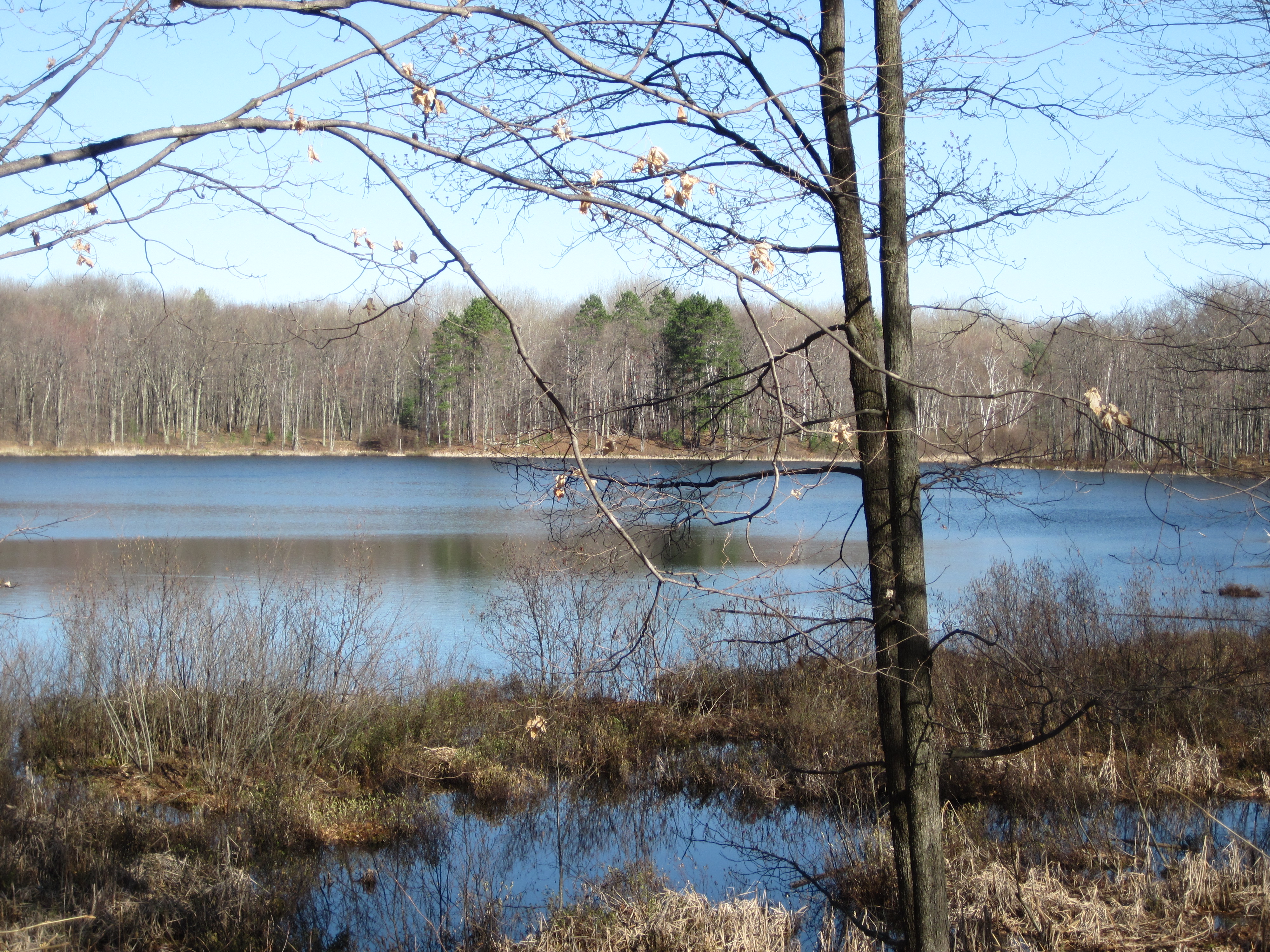
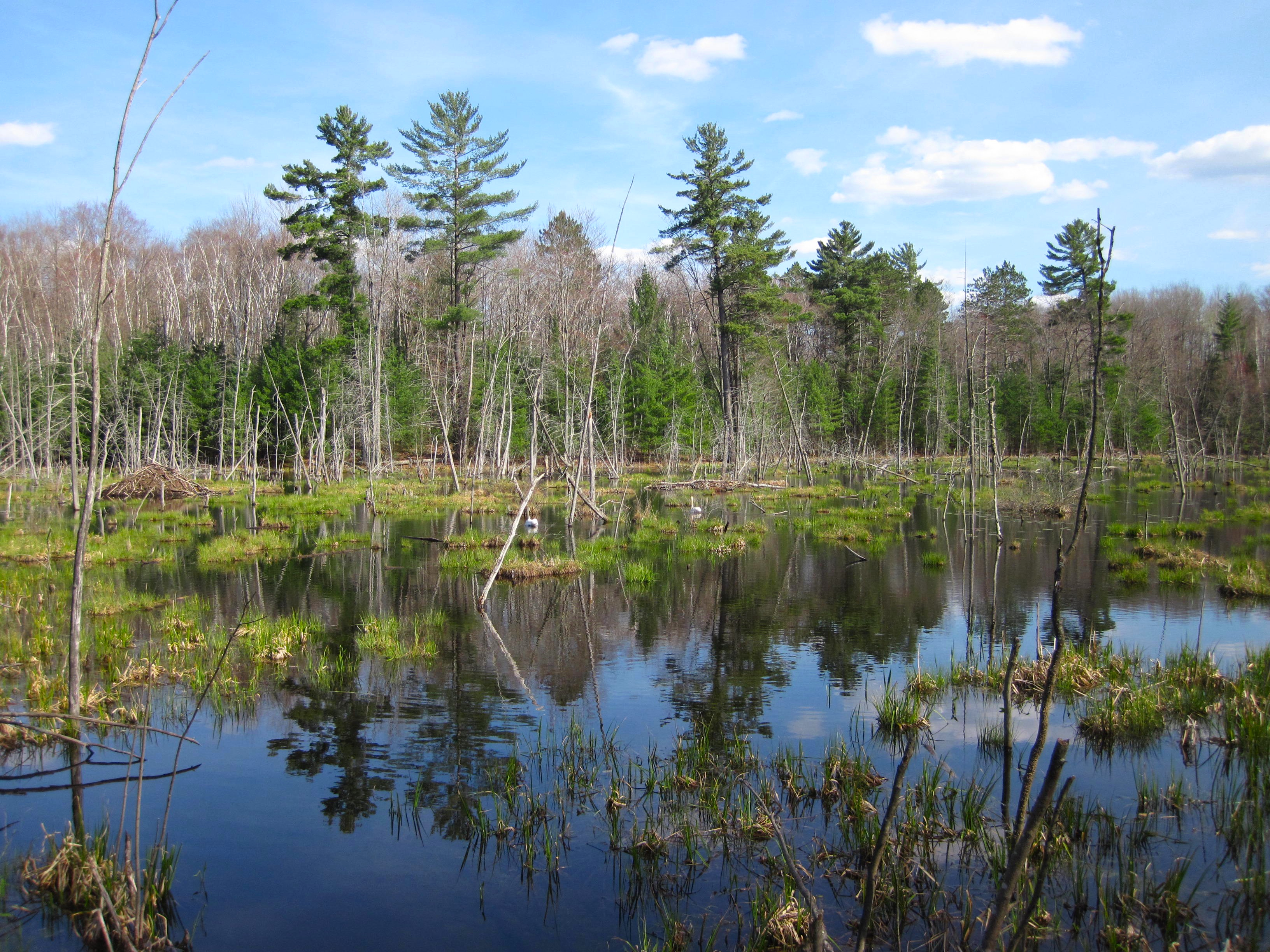
Happy 55th Earth Day, Michigan!

Happy Earth Day by Paul Bruce

Happy Earth Day by Paul Bruce

Today is the 55th Earth Day, and this holiday that is celebrated across the planet was born right here in Michigan! I hope that you are able to take a little time today or this week to think about how you and your family, friends & neighbors can help create a future where humans live in harmony with the world around us because it really is the only one we’ve got. 🌏✌️💙

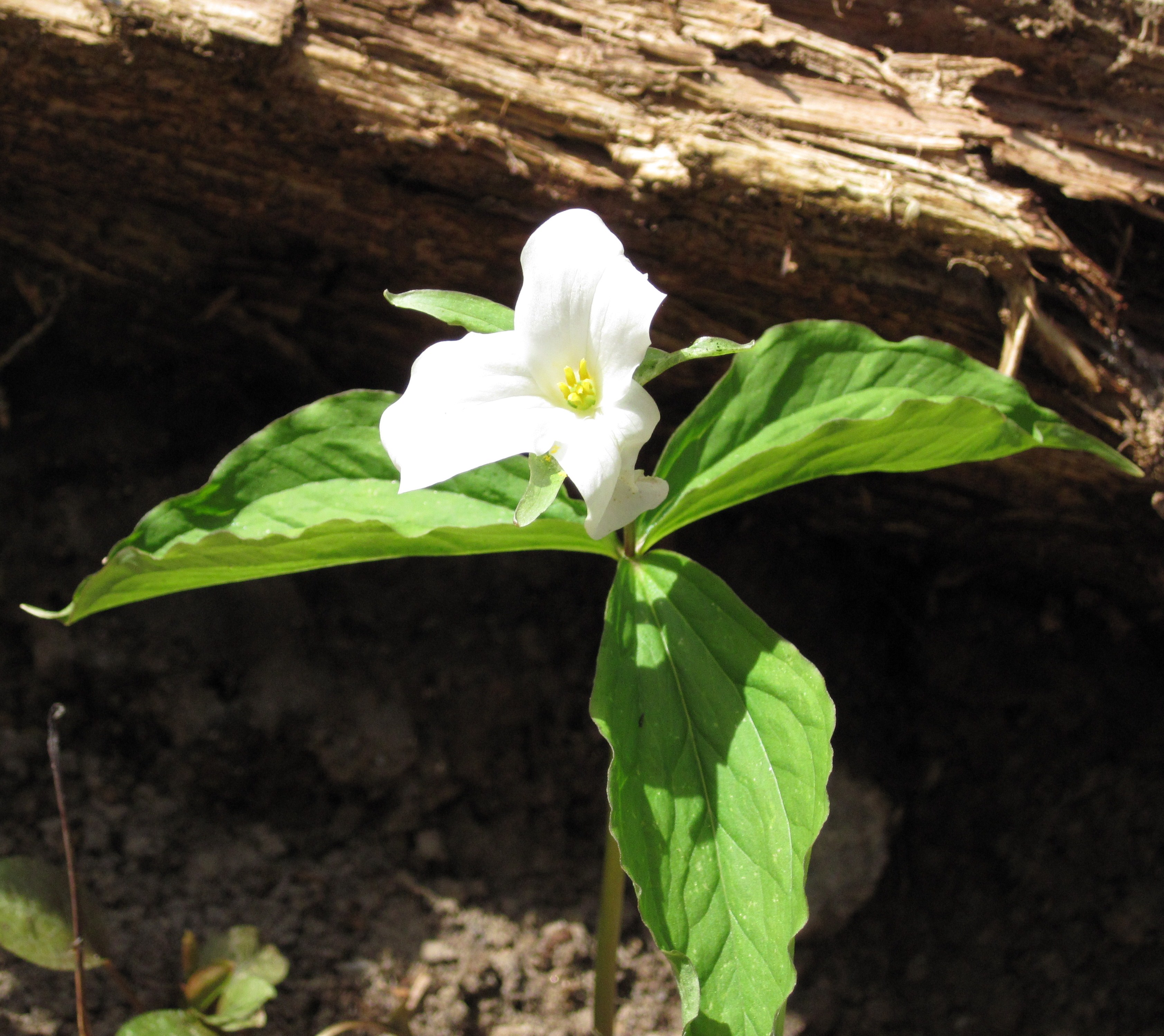
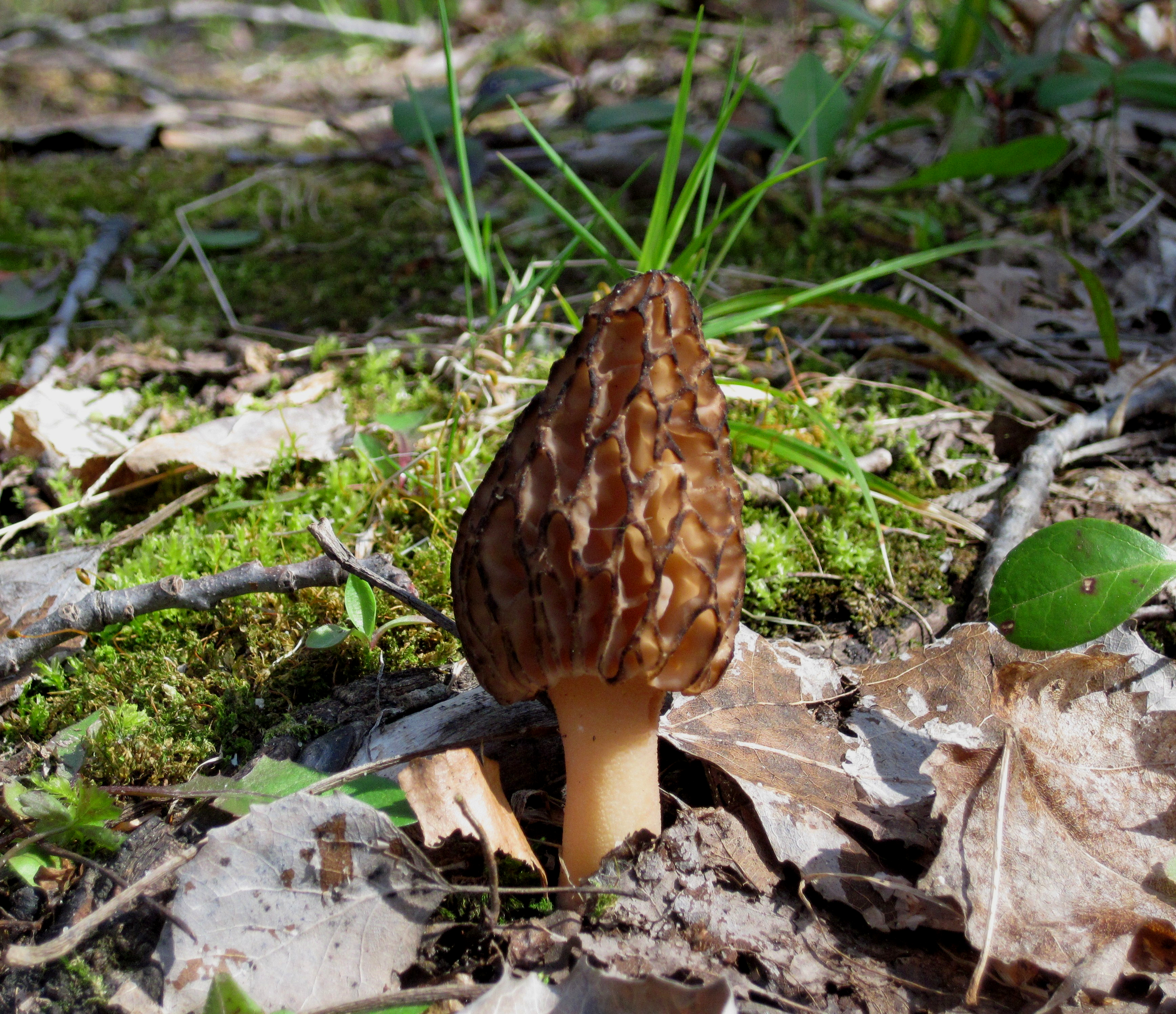
Paul took these at the Reid Lake Foot Travel Area near Harrison in the Huron-Manistee National Forest in the northeast Lower Peninsula. The US Forest Service says the 3000-acre area includes 13 miles of gently rolling trail around Reid and Little Trout Lakes, the shoreline of Big Marsh, and views of Fanny’s Marsh and Mossy Bog. There are also 9 designated first-come first-serve campsites available. Check out his photos from last Earth Day & many more in his Reid Lake gallery and for sure follow him on Flickr for more!

Many more Earth Day photos on Michigan in Pictures!

Support Michigan in Pictures with Patreon

Knowledge written on stone: the Sanilac Petroglyphs

Petroglyphs by Ashleigh Mowers

The Sanilac Petroglyphs Historic State Park in Michigan’s Thumb is the home of Michigan’s largest known collection of early Native American teachings carved in stone. The 420-acre park is open seasonally & managed jointly with the Saginaw Chippewa Indian Tribe of Michigan. The excellent Stateside Podcast shares that the name of the park in Anishinaabemowin is ezhibiigaadek asin, which means “knowledge written on stone” and says in part:

One of the most popular petroglyphs in the park is a figure of an archer, known in Anishinaabemowin as ebmodaakowet. The figure’s body is an arrow, as is his hat, and he holds a bow and arrow in his hands.

“Early on, when archeologists who were not consulting with tribes, you know, saw that, they thought, oh, surely this must be a hunting magic. They took it very literally. ” explained Tchorzynski. “But actually, this ebmodaakowet is actually shooting the arrow of knowledge seven generations into the future. And this was a carving that was left with great love and great affection for descendants in the future, to remind people of our responsibilities to be good ancestors, to preserve and remember, and our obligation to shoot the arrow of knowledge into the future as well. We all must be good ancestors.”

The fragile carvings are easily affected by natural forces. The Marshall sandstone is a very soft rock, and so many of the petroglyphs have faded naturally throughout the centuries. Over the years, the petroglyphs have also been damaged by human hands. Parts of them have been vandalized, and pieces of the stone have been chipped away and taken. In order to protect the carvings from degrading over time, a wooden pavilion was erected over the site. A rope now separates visitors from the rock.

Read (or listen to) a lot more at Stateside!

Ashleigh took this photo back in 2017. You can read her great writing about traveling in Michigan (and elsewhere) at Go See Do Explore. She has a brief article about her visit as well.

Support Michigan in Pictures with Patreon

Sanilac Petroglyphs by Leon Baker (don’t have a link for him anymore!)

Turnip Rock at Sunset

This photo was the second most popular photo of 2024 on Michigan in Pictures!!

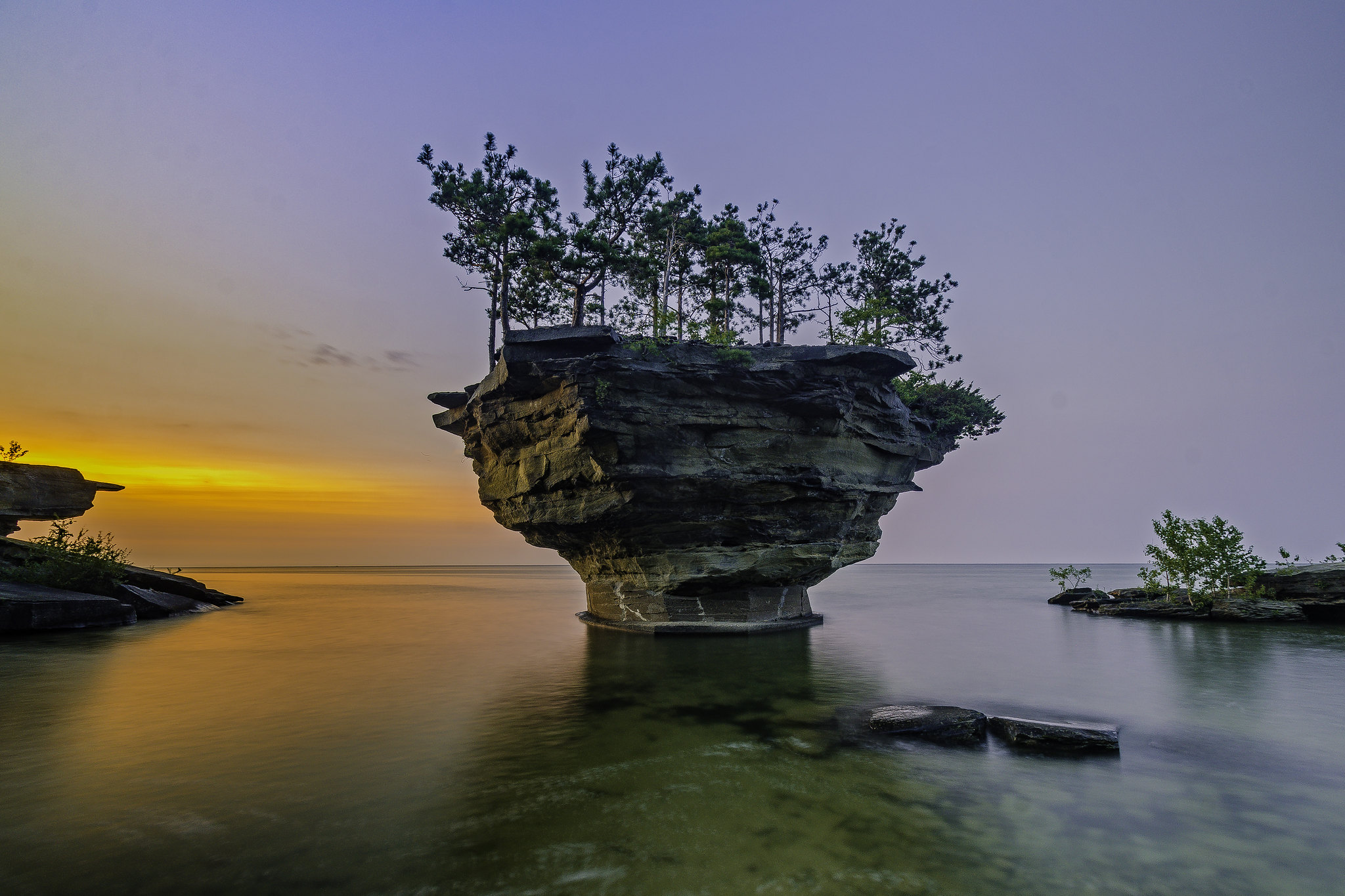
Turnip Rock at sunset by Tom Clark

Turnip Rock at sunset by Tom Clark

Tom shares that Turnip Rock is a beautiful, wondrous land formation off the coast near Port Austin:

The gigantic stone developed its signature look after millennium of being worn away by waves thumping across its bow. After being separated from the mainland in prehistoric times, Turnip Rock is an island inhabited by some trees and very little else.

Turnip Rock was one of twenty finalists in the 2013 “Seven Wonders of Michigan” contest sponsored by the Detroit Free Press and the Lansing State Journal, but it wasn’t selected as one of the final ten.

He took this back in July of 2014. See more in his Lake – Water gallery on Flickr and for sure head over to his website to view & purchase his work!

PS: Head over to the post on Facebook for another angle on Turnip Rock by Tom & a 1906 pic!!

Support Michigan in Pictures with Patreon

Turnip Rock in Clear Water

Turnip Rock in clear water by DjOOF

Turnip Rock in clear water by DjOOF

The excellent sunrise side blog Thumbwind explains that Turnip Rock in Lake Huron can only be reached by kayak or canoe & share some tips for would-be explorers:

Paddling to Turnip Rock is not hard. Located at the tip of the thumb, it’s about a four hour round trip from Port Austin. This small guide offers a local point of view to avoid problems with the local law enforcement and property owners while being able to enjoy a unique natural wonder.

Despite its uniqueness, this natural wonder is located in the Pointe Aux Barques Cottage Community and is private land. Thus the only way to access it is from the water. Fortunately, that can easily be achieved by canoe or kayak. This means that you can’t go feet dry. Stay in the water. The area around the rock is monitored and even the topic of an Instagram account. If you must get out of our kayak stay as close to the water’s edge as possible. (Unless its an emergency)

During the weekends the number of paddlers can get quite large. If the area around the rock is crowded consider paddling a few hundred yards past the rock and view the overhangs and cave features that border the Pointe Aux Barques community. During the late 1800s, the cave were hideouts for fugitives. It’s worth taking a few minutes to explore. You may be tempted to get out of your kayak and climb the rocks for a view. This is a no-no and there are several signs reminding not to trespass.

Read on for lots more, and if you happen to take any pictures, consider sharing them in our Michigan in Pictures Group on Facebook!

DjOOF writes that they made it past Turnip rock and captured this view on the way back. See more in their Google Nest Pics album on Flickr. Also check out their shot of one of the smuggler’s caves referred to above!

Support Michigan in Pictures with Patreon

Great Lakes on the Rise in 2020

Precarious by Mark Swanson

Precarious by Mark Swanson

mLive reports that the six-month water level forecasts show a high-end forecast that could surpass all other modern water levels for some of the Great Lakes:

For the last three months, Lake Michigan and Lake Huron (which shares the same lake water level because they are linked) have set monthly record water levels. The monthly record water levels are expected to continue into summer. If we get significantly higher than usual precipitation, the water levels could slosh over the highest level ever recorded since good water level measurements began back in 1918.

…The upper end of the possible outcomes would take Lake Michigan and Lake Huron 5 inches higher than October 1986, the highest water level recorded since records began in 1918. July or August of this coming summer would be the months that could happen.

That would be a devastating high-water level for cities and beaches along the Lake Michigan and Lake Huron shoreline.

Remember one inch of water on Lake Michigan and Lake Huron is 800 billion gallons of water. If this summer’s water level reaches that upper end, Lake Michigan and Lake Huron would have 4 trillion gallons more water than the highest water level recorded by in the fall of 1986.

Read on for more about Lakes Superior (probably not dangerously high) and Erie & Ontario (also likely to be dangerously high).

Mark took this in February near Stevensville on Lake Michigan. See more in his Final 60 album.

Support Michigan in Pictures with Patreon

Believe in Michigan’s Unbelievable Places

Beneath the Waves of Thunder Bay, photo by US National Marine Sanctuaries

Emily Bingham of mLive said that she created this list of Amazing Michigan places because “One of my favorite geeky things is meeting someone from out of state and showing them a photo of, say, Grand Portal Point or Empire Bluffs and hearing them say “THAT’s in Michigan?!” So then I decided, hey, how about I just publish a list so I have all my favorite brag-worthy Michigan spots in one place on the internet?? And voila.”

Voila indeed – definitely check this out. The photos of the twelve locations she picked are STUNNING! Here’s what she wrote about the Thunder Bay National Marine Sanctuary:

Located in Lake Huron just off the coast of Alpena, this 4,300-square-mile protected area is one of the most significant shipwreck preserves in the entire country. More than 100 shipwrecks have been found here, making it an exciting destination for divers from all over the world.

Click through for 11 more plus a whole bunch of great photos from each of the places!

View the photo bigger on Instagram and definitely follow NOAA’s National Marine Sanctuaries for all kinds of pics of the wonderful world beneath the waves!

Michigan Lighthouses: Gravelly Shoal Light

Gravelly Shoals offshore Light in Saginaw Bay, photo by George Thomas

The entry on Gravelly Shoal Light at Terry Pepper’s Seeing the Light begins:

Point Lookout juts from the shore on the western shore of Lake Huron, approximately half-way between the mouth of the Saginaw River and Tawas Point. With only five to eighteen feet above it, Gravelly Shoal extends some 3 miles southeasterly from Point Lookout towards Big Charity Island. To help guide down-bound vessels headed for Saginaw Bay through the deeper water lying between the southeast end of Gravelly Shoal and Big Charity Island, Congress appropriated $5,000 to construct a lighthouse on the northwestern shore of Big Charity on August 18, 1856. Work began at the site that year, but as a result of being started so late in the season, the station was not completed and lighted until the following year.

Perhaps as a result of its exposed location, or as a result of its keeper’s dwelling being one of the few of wooden frame construction on any of the Great Lakes, the station was a constant source of maintenance problems, and was not surprisingly one of the first to be automated through the installation of an acetylene illumination system in 1900. At this time an occulting white Pintsch gas buoy was also placed at the southeastern end of Gravelly Shoal to better mark the western edge of the passage between the shoal and Big Charity Island.

As a result of the combination of increasing vessel size, improvements in offshore light construction and the growing adoption of radio direction finding equipment, it became plain in the late 1930’s that the old Charity light and the gas buoy on Gravelly Shoal had outlived their usefulness, and consideration turned to the construction of a state-of-the-art offshore aid to navigation at the eastern end of Gravelly Shoal to better mark the deeper water of the passage.

View the photo background big and see more in George’s Lighthouses slideshow.

More Michigan lighthouses on Michigan in Pictures.

#TBT: Shining in Cheyboygan with the Coast Guard Cutter Mackinaw

USCG Mackinaw, Cheybogan

Shining in Cheyboygan, photo by Bill Johnson

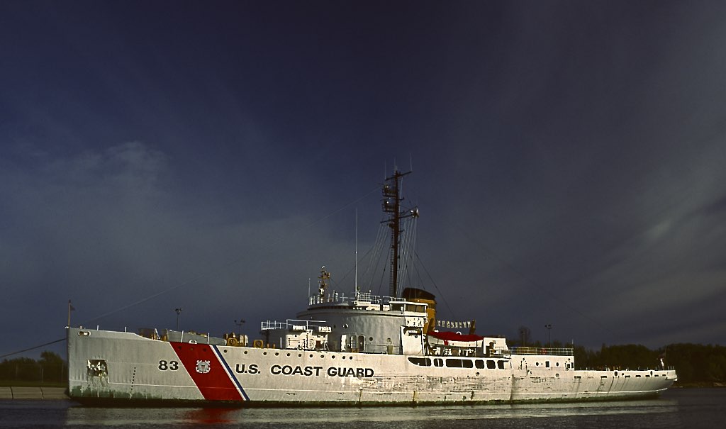
Here’s a neat “Throwback Thursday” (TBT), a photo of the United States Coast Guard Cutter Mackinaw on May 25, 1993 when she was still in service. Bill writes:

This is the original Coast Guard Cutter Mackinaw, WAGB 83, wearing its silvery whitish colors, in its home port of Cheboygan, MI. This beauty was built in 1944 to aid the war effort by keeping the Great Lakes open during the winter. The cutter was intentionally built too wide to get through the Saint Lawrence Seaway in order to keep her in the Great Lakes. She was moved to Mackinaw in June of 2006, decommissioned, and turned into a museum at the Chief Wawatam docks. Today, she wears the red hull that she was retired in.

You can see the current look of the Icebreaker Mackinaw and get information about visiting on the Icebreaker Mackinaw Maritime Museum website.

View Bill’s photo background big and see more in his Boats, Ships, and Stuff That Floats slideshow.

More Throwback Thursdays on Michigan in Pictures.

Rockport State Recreation Area on Lake Huron

rockport-state-recreation-area-alpena-lake-huron

Rockport State Recreation Area – I, Alpena, MI, September, 2016, photo by Norm Powell

The Alpena CVB’s page on Rockport State Recreation Area says:

Rockport State Park, Michigan’s 100th State Park and an official Dark Sky Preserve, has over 4,237 acres of land located on the shores of Lake Huron north of Alpena. The property includes a deep-water protected harbor, an old limestone quarry of approximately 300 acres, a unique series of sinkholes, Devonian Era fossils, the Besser Natural Area, and a broad range of land types, vegetative cover, cultural resources and recreation opportunities. At the harbor the DNR has a boat launch facility, and there is a small park with picnic areas.

If you click through, they have a nifty guide that includes more information on the offerings including the fossils and sinkholes! You can get a map and more info from the State of Michigan’s page on Rockport Recreation Area.

View Norm’s photo bigger, see more in his slideshow, and view and purchase his photos on his website.

Many more Michigan parks on Michigan in Pictures!

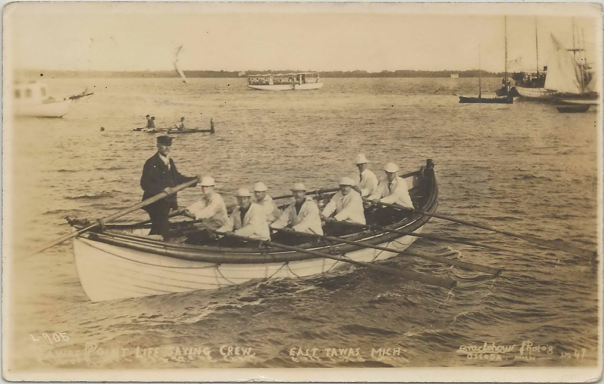
#TBT Tawas Point US Lighthouse Service Crew Training

Tawas Point Lighthouse USLSS Life Saving Service Crew Training on Tawas Bay

Tawas Point Lighthouse Crew Training, photo by UpNorth Memories

The U.S. Life-Saving Service Heritage Association has an excellent history of the U.S. Life-Saving Service that says in part:

In 1878 the growing network of lifesaving stations was finally organized as a separate agency of the Treasury Department and named the U.S. Life-Saving Service. Sumner I. Kimball was chosen as the General Superintendent of the Service. Kimball held tight reign over the Service and, in fact, remained the only General Superintendent of the organization. The law which created the U.S. Coast Guard in 1915, also provided for the retirement of Kimball. The Service’s reputation for honest, efficient, and non-partisan administration, plus performance of duty, can be largely attributed to the efforts of this one man.

The stations of the Service fell into three broad categories: lifesaving, lifeboat, and houses of refuge. Lifesaving stations were manned by full-time crews during the period when wrecks were most likely to occur. On the East Coast this was usually from November to April, and was called the “active season.” By the turn of the century, the active season was year-round. Most stations were in isolated areas and crewmen had to be able to perform open beach launchings. That is, they were required to launch their boats from the beach into the surf. Before the turn of the century, there were very few recreational boaters and most assistance cases came from ships engaged in commerce.

Lifeboat stations were located at or near port cities. Here, deep water, combined with piers and other waterfront structures, allowed the launching of heavy lifeboats directly into the water by marine railways on inclined ramps. In general, lifeboat stations were located on the Great Lakes, but some lifesaving stations were situated in the more isolated areas of the lakes. The active season on the Great Lakes stretched from April to December.

…The U.S. Life-Saving Service had two means of rescuing people on board ships stranded near shore: by boat and by a strong line stretched from the beach to the wrecked vessel. The Service’s boats were either a 700 to 1,000 pound, self-bailing, self-righting surfboat pulled by six surfmen with twelve to eighteen foot oars, or a two to four ton lifeboat. The surfboat could be pulled on a cart by crewmen, or horses, to a site near a wreck and then launched into the surf. The lifeboat, following a design originated in England, could be fitted with sails for work further offshore and was used in very heavy weather. Some crews, at first, viewed the lifeboat with skepticism because of its great weight and bulk. The skepticism soon changed and crews began to regard it as “something almost supernatural,” for it enabled them to provide assistance “when the most powerful tugs and steam-craft refused to go out of the harbor. …”

Terry Pepper’s Seeing the Light has a bunch of information and photos of the Tawas Point Lighthouse.

This photo shows the crew of the Tawas Point Lighthouse participating in USLSS crew training on Tawas Bay. Check it out bigger and join the Northern Michigan Photo Postcards – Our History and Heritage group for more great old photos from Don and others.

More history from Michigan in Pictures.