Charlevoix, the Beautiful

Charlevoix the Beautiful

Charlevoix the Beautiful, photo by GLASman1

Wikipedia entry for Charlevoix (pronounced shar-le-voy) says:

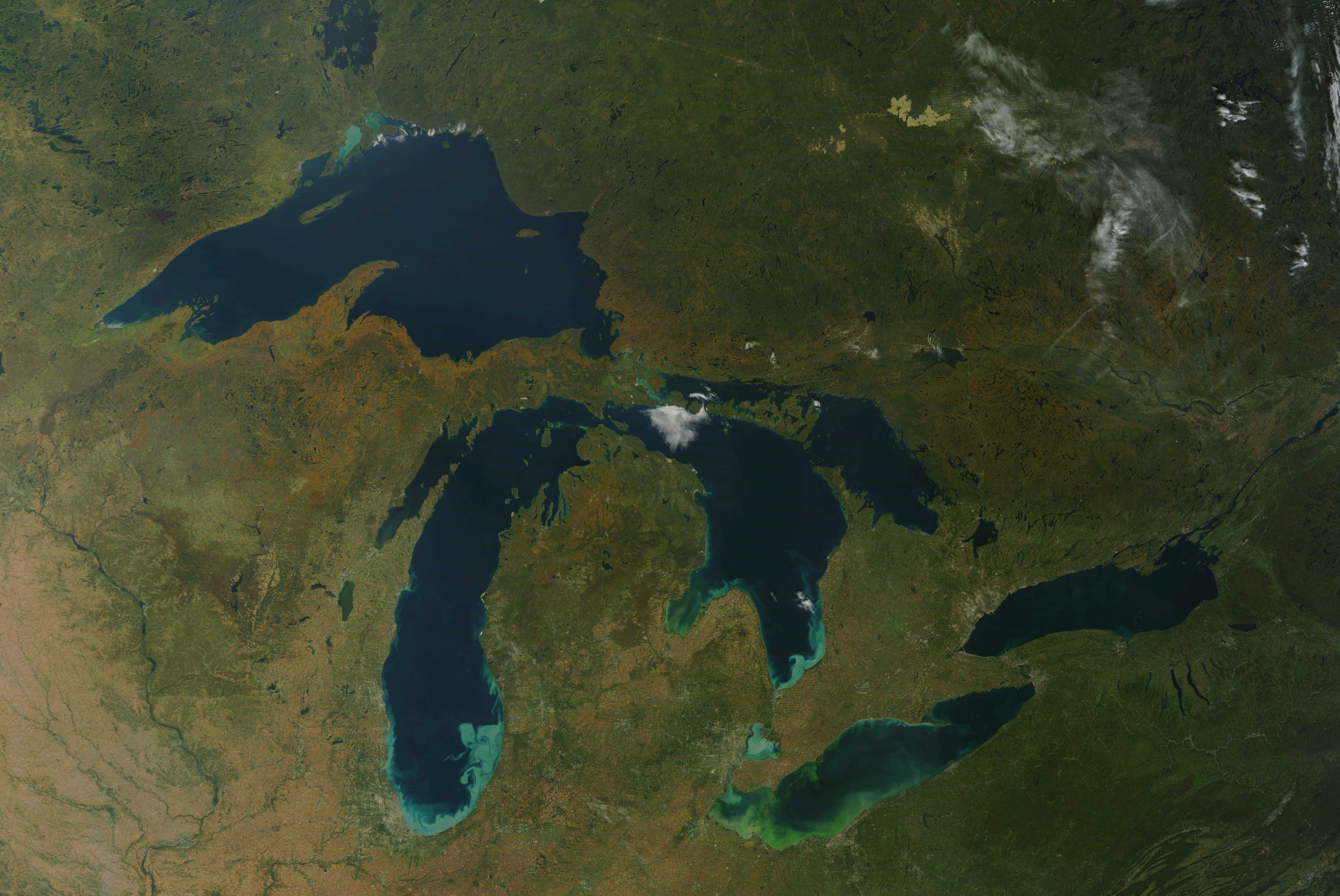
The city is situated between Lake Michigan and the western end of Lake Charlevoix, which drains into Lake Michigan through the short Round Lake/Pine River complex in the heart of downtown Charlevoix. Charlevoix’s Round Lake has been called the best natural harbor on Lake Michigan.

Charlevoix is named after Pierre François Xavier de Charlevoix, a French explorer who travelled the Great Lakes and was said to have stayed the night on Fisherman’s Island one night during a harsh storm. It was during this time that Native Americans were thought to have lived in the Pine River valley.

The City of Charlevoix website adds that Charlevoix first became a village in 1871 and was later established as a city in 1905. The city has a year round population of roughly 3,000 people. FYI, Round Lake is the little lake right off Lake Michigan whick opens into the much larger Lake Charlevoix – here’s a map of Charlevoix!

View Mark’s gorgeous aerial photo bigger and see more in his Aerials slideshow.

There’s more aerial photography and more about Charlevoix on Michigan in Pictures!

Big Sable Point from 2,000 feet

Big Sable Point from 2,000 feet

Big Sable Point from 2,000 feet, photo by Innerspacealien

The Detroit Free Press recently had a fun article by Ziati Meyer titled Michigan Lighthouse Trivia that related:

LIGHT AFTER DARKNESS: The deaths of 48 people in one year prompted the building of the Big Sable Point Lighthouse. The stretch of water between Big Sable Point and Ludington saw 12 shipwrecks in 1855, so Congress was asked to send money to help. The result — after a Civil War delay — was a $35,000 lighthouse to help ships navigate that area of Lake Michigan

Read on for more fun facts and definitely check out Terry Pepper’s Seeing the Light and our Michigan in Pictures archive for more info and photos of this iconic light north of Ludington.

Check this out background bigtacular and see some more aerial views of the area in Craig’s slideshow.

More great aerial photos on Michigan in Pictures.

Fall, from the farm or at 440 miles

Fall

Fall, photo by southarmstudio

mLive tipped us off that NOAA has a MODIS high-res satellite image showing Michigan’s fall foliage throughout northern Michigan as taken by the high-resolution satellite. Click here for the photo which shows a lot of oranges and reds across the western U.P. and increasingly in northern lower Michigan. You can check the photo out that that link or if it’s gone, here’s a copy (1.6 MB).

They also include a link to the Foilage Network’s report for the upper Midwest.

Check it out bigger and in Ron’s Earthscapes slideshow.

Fort Wilkins State Park on Lake Fanny Hooe


Fort Wilkins, photo by Neil Harri Aerial Photography

A number of years ago, I camped at Fort Wilkins State Park on Lake Fanny Hooe on the Keweenaw Peninsula. Hunts Guide to the UP says that Fort Wilkins was a typical 19th-century frontier garrison, the most northern in the U.S.:

The 1843 Keweenaw copper rush in this distant area, way beyond the frontier of settlement, led to building this small fort. From 1844 to 1846 the fort was the area’s only source of law and order. The government’s greatest concern was friction between native Indians and unruly miners. But little hostility actually broke out. By 1846 most of the small-time prospectors had left. Large mining companies had stabilized the region, so the fort was abandoned. It reopened after the Civil War, from 1867 to 1870, due to inadequate barracks facilities elsewhere in Michigan.

The army abandoned Fort Wilkins for good in the 1870s. Within two decades it had become a favorite picnic and camping destination. Local people appreciated its beautiful, forested location on Lake Fanny Hooe.

Today you can camp on the shores of the lake, which is still beautiful and forested and offers great fishing. They do some interpretive demonstrations at the park as well.

I couldn’t find a photo that I liked for the fort until I found these aerial shots in the photo gallery at the Fort Wilkins Natural History Association, a nonprofit that raises money to support and sponsor programs and special events at the park. They have some cool videos about the history of Fort Wilkins that are worth your time.

Neil Harri is a professional aerial photographer who also has some great Upper Peninsula photos, books and DVDs for sale through his website.  The DVD aerial tours look especially cool and there are several from the Keweenaw including a historical aerial tour of Keweenaw’s Copper Ridge!

More Michigan aerial photography on Michigan in Pictures!

Above & Along the Rouge River

Zug Island

Zug Island, photo by Airplane Lane.

Over on Absolute Michigan a little while back we had a feature from one of my favorite blogs, Bootstrap Analysis. It’s titled Urban Birding: Touring the Rouge River. For a look at what the Rouge looks like and a sense of how that happened, click over!

If you’re interested in the preservation efforts on the river, check out Friends of the Rouge River.

Check it out background bigtacular and in Matt’s awesome Aerial Photography slideshow.

Lots more Michigan aerial photographs on Michigan in Pictures.

Otsego Lake Seaplane Splash-in

Flight of four S7ACs, photo by Isaac Adler

Every June since 1981, seaplane pilots from across the state and nation have converged upon Otsego Lake by Gaylord for the annual Otsego Lake Seaplane Splash-In (also some info at seaplanes.org). The event attracts seaplanes, floatplanes and flying boats from all over the country and it includes an aerial parade, competitions and cookouts.  FYI, there’s the Grand Marais Splash-in next weekend too!

Check out their amazing photo gallery for pics from the event. You can get an idea of the number of planes in this photo by Scott Millard and the level of skill of the pilots in this pic of an aerial formation.

Isaac took this shot last year – he has a lot more in that slideshow above including this sweet photo of a big seaplane splashing down!

Earth Day, high above our piece of the Earth

Great Lakes, No Clouds

Great Lakes, No Clouds, photo by NASA Goddard Photo and Video.

Today is Earth Day (and also Good Friday). You can read all about Michigan’s role in Earth Day on Michigan in Pictures and check the list of Earth Day events in Michigan from earthday.org.

I thought this shot from the NASA Goddard Space Flight Center was a perfect image, and it’s a great lead-in to their Earth Day 2011 slideshow, which looks at almost 40 years of Landsat images. NASA says:

Launched in 1972, the Landsat program is the longest continuous global record of the Earth’s surface. It continues to deliver both visually stunning and scientifically valuable images of our changing planet, allowing us to plan for the future of Earth’s precious resources.

Check this out big as Michigan an in their Explored! slideshow.

Mackinac Bridge Sunset

Mackinac Bridge  Sunset

Mackinac Bridge Sunset, photo by GLASman1.

From high above the Straits of Mackinac

Check it out background big and in Mark’s slideshow.

More Michigan aerial photographs from Michigan in Pictures.

Upside Down in Lake Bellaire

IMGP6640

IMGP6640, photo by jt354.

There isn’t much about Lake Bellaire to be found online – the Lake Bellaire Wikipedia page hasn’t even been edited yet. Fishweb says that Lake Bellaire:

…is part of the Chain O’ Lakes in Antrim County Michigan. It is connected to Clam Lake to the south by the Grass River, and north to Intermediate River. Fishing Lake Bellaire you will find a variety of game fish such as trout, walleye, bass, pike, perch and many more. LakeBellaire is a small but deep lake with a maximum depth of 107′. The depth allows for trout fishing but still offers plenty of shallower depths, weed cover and river beds for fishing many different styles.

Check this photo out background big or in James’ Landscape and Nature set (slideshow).

There’s many more aerial photos and Michigan lakes to be found on Michigan in Pictures!

Michigan farming and other success stories

Leelanau County Farmland

Leelanau County Farmland, photo by kuku4manitou.

The Center for Michigan has a feature on the growth of Michigan agriculture in recent years. It’s the latest in their series of Michigan success stories and like the other stories in the series, it makes for inspiring reading in these days when all we seem to hear is what’s broken in Michigan.

Check this out bigger and check out more photos from Joe’s June flight over Leelanau County.

Here’s many more Michigan farms from the Absolute Michigan pool.