Lovers Leap in the Pictured Rocks

Lovers Leap in the Pictured Rocks

Lover’s Leap, photo by siskokid

Pictured Rocks Tours say legend has it that an Indian couple displayed their love for one another by jumping off the top of this rock arch together. They stress that the water at the base is only a few feet deep, so don’t try it!

While Myths and Legends of our Own Land  by Charles M. Skinner (online e-book from Project Gutenberg here) doesn’t have a story about this Lovers’ Leap, Skinner does detail three tales from Mackinac Island in his chapter on Lovers Leaps that says (in part):

So few States in this country—and so few countries, if it comes to that—are without a lover’s leap that the very name has come to be a by-word. In most of these places the disappointed ones seem to have gone to elaborate and unusual pains to commit suicide, neglecting many easy and equally appropriate methods. But while in some cases the legend has been made to fit the place, there is no doubt that in many instances the story antedated the arrival of the white men…

When we say that the real name of Lover’s Leap in Mackinac is Mechenemockenungoqua, we trust that it will not be repeated. It has its legend, however, as well as its name, for an Ojibway girl stood on this spire of rock, watching for her lover after a battle had been fought and her people were returning. Eagerly she scanned the faces of the braves as their war-canoes swept by, but the face she looked for was not among them. Her lover was at that moment tied to a tree, with an arrow in his heart. As she looked at the boats a vision of his fate revealed itself, and the dead man, floating toward her, beckoned. Her death-song sounded in the ears of the men, but before they could reach her she had gone swiftly to the verge, her hands extended, her eyes on vacancy, and her spirit had met her lover’s.

From this very rock, in olden time, leaped the red Eve when the red Adam had been driven away by a devil who had fallen in love with her. Adam, who was paddling by the shore, saw she was about to fall, rushed forward, caught her, and saved her life. The law of gravitation in those days did not act with such distressing promptitude as now. Manitou, hearing of these doings, restored them to the island and banished the devil, who fell to a world of evil spirits underground, where he became the father of the white race, and has ever since persecuted the Indians by proxy.

Read on for more. It’s a great book – I highly recommend it!

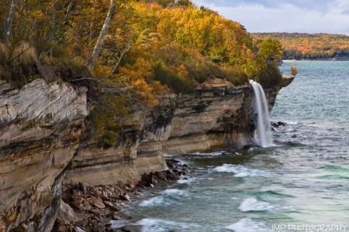
Jim shot this last summer. Check his photo out bigger and see more in his Pictured Rocks slideshow.

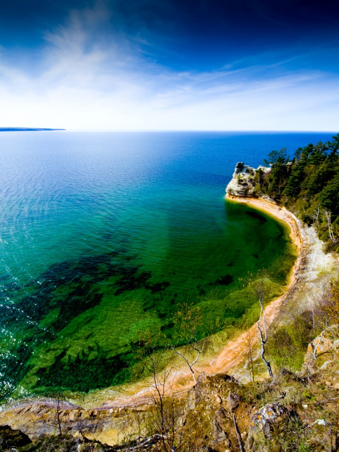
Much (much) more from the Pictured Rocks National Lakeshore on Michigan in Pictures. I also want to stress that while the price tag on the boat tour might give you pause, this is hands-down the best boat tour I’ve ever done and gives you a view of the Michigan natural wonder that is the Pictured Rocks National Lakeshore that will stay with you forever.

Miners Castle, with ice and kayaks

Miners Castle, with ice and kayaks

Miners Castle, with ice and kayaks, photo by Ann Fisher

The Washington Post has a feature on Lake Superior’s stubborn ice cover:

As of Memorial Day, ice covered 4.5 percent of Lake Superior according to NOAA, and 1.7 percent of the Great Lakes overall (though Superior is the only lake with remaining ice). The recent Great Lakes ice cover is unrivaled in records dating back to the early 1970s.

Ice cover the Great Lakes has been way above normal and, at times record-setting, for months.

In early March this year, the Great Lakes ice extent reached 94.19%, the second most on record for any month, dating back to 1973 in NOAA’s dataset, and most on record so late in the season. In late April, ice still covered nearly one-third of the Great Lakes, the most on record by a large margin so late into spring.

Click through for some photos of people enjoying the ice.

Ann took this last weekend at Miners Castle in the Pictured Rocks National Lakeshore. How cold is that water right now? Michigan Sea Grant’s Coastwatch for the central UP shore of Lake Superior recorded a balmy 36.7 degrees on May 25th!!

View Ann’s photo big as Lake Superior and see more in her 2014 U.P. slideshow.

There’s more Miners Castle and more Lake Superior wallpaper on Michigan in Pictures.

Frozen Adventures in Pictured Rocks

Ice Column / Pictured Rocks National Lakeshore.

Ice Column / Pictured Rocks National Lakeshore, photo by DIsnowshoe

Jay writes:

Many have cursed the cold of this winter that is almost over now though spring seems a long way off. It has caused hardships and pain but has also given rare opportunities to many who have been willing to bundle up and seek the wonders the cold has brought about.

A few weeks ago a friend asked me on somewhat short notice if I’d join him for a walk along the Pictured Rocks National Lakeshore. I’d walked the cliffs above the Lake before but the extreme cold of this wonderful winter granted us the opportunity to walk on even the Greatest of Lakes. We had two nights out with no fire to warm us but it was well worth it and a most amazing hike.

View his photo background bigtacular and definitely check out more stunning photos from his Pictured Rocks adventure.

Much more from the Pictured Rocks National Lakeshore and more winter wallpaper on Michigan in Pictures!

Pictured Blue: Miner’s Castle in the Pictured Rocks National Lakeshore

Pictured Blue

Pictured Blue, photo by Kiiraaan

View this jaw-dropping photo of Miner’s Castle bigger and see more in Kiran’s Landscape slideshow.

The Pictured Rocks National Lakeshore’s Geology Field Notes page has this barely comprehensible stuff to say about Miner’s Castle:

The Miners Castle Member is a soft, crumbly, quartz sandstone (with abundant garnet content) about 140 feet thick; its complete section is exposed in the Pictured Rocks Cliffs between Sand Point and Miners Castle. Sediments of this member are generally poorly sorted.

Capping the easily eroded Miners Castle Member of the Munising Formation in the western half of Pictured Rocks, is the resistant Early Ordovician (480-500 million years old) Au Train formation. The Au Train Formation is a light brown to white dolomitic sandstone that forms the resistant cap to the underlying softer sandstones. The numerous falls in Pictured Rocks National Lakeshore are the result of this caprock.

Read on for much more about the geology of Pictured Rocks. Erosion is indeed a factor with one of the most visible instances being April 13, 2006, when one of the pillars of Miner’s Castle collapsed.

You can see more of Pictured Rocks from Absolute Michigan and at the Pictured Rocks National Lakeshore web site.

2014 Michigan Ice Fest & Ice Climbing in Pictured Rocks

UP Michigan Ice Fest001

UP Michigan Ice Fest, photo by ebaillies

The annual Michigan Ice Fest takes place January 30 – February 2, 2014 in and around Munising. This annual festival takes place the 1st weekend of February every year and gives you a chance to look at and demo the latest and greatest equipment, meet some of the worlds best climbers and see what they’ve climbed all over the world. There’s also climbing socials and even intro to ice climbing classes using the ice climbing paradise that surrounds Munising.

Click the link above and be sure to check out their Michigan Ice Fest photo gallery on Facebook including galleries from 2009, 2010 & 2012 Ice Fests!

As the Ice Fest organizers note, the UP offers as much as 6 months of climbable ice! The Pictured Rocks National Lakeshore Ice Climbing page tells more:

Ice climbing is becoming a popular winter sport at Pictured Rocks National Lakeshore. With ample lake effect snow, numerous waterfalls, porous sandstone cliffs, and the water which seeps out of the rock layers, curtains and columns of ice are common.

Snow and ice are generally present by the second or third week in December and remain until late March. While ice frequently forms along the Pictured Rocks cliffs above Lake Superior, these areas are not recommended for climbing due to hazardous exposure to the lake. The most accessible ice columns are found along the Pictured Rocks escarpment between Munising Falls and Sand Point along Sand Point Road.

Eric took this photo at the Ice Fest in 2012. Check it out bigger and see lots more great shots in his slideshow.

More ice climbing on Michigan in Pictures!

Fall at Spray Falls

Spray Falls Autumn Colors

Spray Falls Autumn Colors, photo by James Marvin Phelps

James took this photo four years ago today at Spray Falls in the Pictured Rocks National Lakeshore.

Check this out background big and see more great shots from the UP in his Michigan Fall Trip 2009 slideshow.

More about Spray Falls on Michigan in Pictures.

Miners Falls in the Pictured Rocks National Lakeshore

Wide view of Miners Falls

Wide view of Miners Falls, photo by ChiliFrei64

GoWaterfalling is the go-to place for Michigan waterfalls.  About Miners Falls they write:

Miners Falls is located in Pictured Rocks National Lakeshore. To reach the Falls, take H58 west from Munising. Take H13 north 3.5 miles towards Miners Castle. There is a dirt road on the right that leads to falls. There is a sign marking the road. The dirt road is less than a mile and leads to a parking area. The walk through the woods to the falls is about 20 minutes. There are stairs at the end. The viewing area is a little frustrating. I do not know if there is an easy way into the gorge.

Little Miners Falls is about a mile downstream but you would have to bushwack to reach it. Chapel Falls, Spray Falls and Sable Falls are also in Pictured Rocks. Wagner Falls, Munising Falls, and others are in nearby Munising.

Be sure to also check out How Miners Falls Got Its Name on Michigan in Pictures and a Panormio/Google map of the area.

Dan writes that he was striving for a view he hadn’t seen of the falls. He got one!! Check this photo out bigger, see more in his Water slideshow and also check out Dan Frei Photography on Facebook.

Many more Michigan waterfalls on Michigan in Pictures!

Along the Trail at Pictured Rocks

Along The Trail

Along the Trail, photo by nasunto

Michigan in Pictures regular Nina Asunto is posting trip reports about her trip at the end of June to the Pictured Rocks National Lakeshore. In Day One: Chapel / Mosquito Trailhead to Chapel Beach she writes about a common June annoyance in the Upper Peninsula that this year proved more that annoying:

We arrived at Chapel Beach campground just before noon and had to put our bug nets on as soon as we got there. The campground consists of six sites, which are in the woods at the top of a bluff above Lake Superior. One of them (#6) is at the edge of the woods, and it is close enough to the beach to benefit from the breeze coming from the lake. This site was already occupied, of course, so we chose site #3, which was further into the woods. Under normal circumstances, this would be a really good campsite, with Chapel Creek running alongside it creating a nice atmosphere. Unfortunately, the exceptionally wet spring had ensured that this typically buggy season far exceeded expectations. The word “brutal” doesn’t quite do it justice – it was a buzzing hell-scape. The only thing to do was to set up camp as quickly as possible and flee to the beach.

Curiously enough, I was also in the UP and stopped at Pictured Rocks that weekend. Without Deep Woods Off, I am pretty sure I would have ended up a bloodless corpse! Click to read more (including her analysis of permethrin vs mosquitos). Follow along as Nina posts the rest of the report on Black Coffee at Sunrise.

Check it out bigger and see more in Nina’s Pictured Rocks National Lakeshore | June 2013 slideshow.

Miners Castle Sunset

"Miners Castle Sunset" - Pictured Rocks National Lakeshore - Munising , Michigan

“Miners Castle Sunset” – Pictured Rocks National Lakeshore, photo by Michigan Nut

I figured to close “Pictured Rocks week” on Michigan in Pictures, I needed a photo from one of the people who captures the stunning beauty the best – John McCormick aka Michigan Nut. As you can see from this shot, he really does an excellent job of capturing the stunning colors of this wild & amazing place.

Check his photo out bigger and definitely don’t miss his Pictured Rocks National Lakeshore slideshow. Michigan in Pictures has lots more photos from John too!

You can read more about Miners Castle too!

La Chapele: The Doric Arch & Chapel Rock

Pictured Rocks Shoreline

Pictured Rocks Shoreline, photo by dwfphoto

Their beginning is in the Doric Rock which is about two miles from the line of towers and battlements which compose the grand display of the Pictured Rocks; and seems to have been sent in advance to announce to the voyageur the surprising and appalling grandeur that awaits him ahead.
~Thomas McKenney, 1834

“Appalling grandeur” is indeed fitting for the stretch of the Pictured Rocks. The above quotation comes from a wonderful website I just discovered: Tracing The Trail: The Pictured Rocks Segment of the Anishnaabeg Migration Route. The site has some incredible historic information about the Anishnaabeg and their life & migration through the Pictured Rocks. The site has some fascinating information, and I heartily urge you to check it out. Regarding what is today known as Chapel Rock, they explain that what we see today was once an arch known as Doric Rock or Le Chapelle.

“The voyageurs, of course, coined the name ‘Le Chapelle,’ and they continued to use the term well into the American period. The journals of the 1820 Cass expedition reveal the origin of the new name. David Bates Douglass simply notes that just west of a waterfall cascading over the rocks they visited a ‘fine natural arch.’ Schoolcraft states that near a cascade four miles beyond the beginning of the sandstone bluffs is located ‘Doric Arch.’ Both Charles C. Trowbridge and James Duane Doty indicate that the Cass expedition was responsible for naming the formation ‘Doric Arch.’ The following excerpt from Doty’s journal gives a good description of the formation and reason for naming it ‘Doric Arch.’

About midway of the rocks a stream of water is seen pouring over a perpendicular bank 70 feet high. The sheet is about 10 feet wide. Passing this we soon come to an arched rock separated apparently entirely from the bank. It is 10 feet from the waters edge to the top of the bank on which it is based; the arch then rises about 35 feet. On the right supporting the arch 2 pillars well formed are seen, on the left but one was discovered—the woods however obstructed the view. The arch appeared smooth and elegantly shaped. On its top and under it pine trees were growing –one very large directly on its center….This arch we named Doric Arch from the resemblance which it bears to that order of architecture.

…“The Chapel, which is reported to have collapsed in 1906, has left its name on current topographic maps. At the site of its location is a symbol and the term ‘Chapel Rock.’

While the arch connecting “The Chapel” and the adjacent cliff did indeed collapse in 1906, the intricately sculpted rock remains as Chapel Rock. The great white pine that Doty observed still grows on top of Chapel Rock, and the tree’s roots mark where the rock arch once stood.

Check this out background big and see more in his excellent Pictured Rocks slideshow.

The Pictured Rocks Boat Tour company offers free tours of the Pictured Rocks National Lakeshore shoreline for UP residents every year to celebrate Pictured Rocks Day. That’s this Saturday, so I’m celebrating the Pictured Rocks all week with posts to give everyone a taste of one of Michigan’s most amazing places. Want more Pictured Rocks photos? Michigan in Pictures has tons!