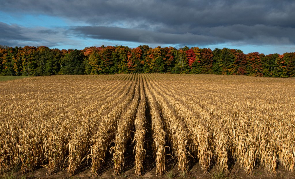
The Boonies by Jason Rydquist
Today’s post is a shoutout to Dale, a new Michigan in Pictures supporter who grew up in the Boon/Henrietta area. Thank you Dale!!
Boon is located in the northern Lower Peninsula between Manistee and Cadillac. Over half of the town is situated in the Manistee National Forest, which is primarily rural and wooded area.
Harrietta is a village in Wexford County had a population of 143 at the 2010 census, making it the least populous village in Northern Michigan. It was incorporated as a village in 1891 with the name of Gaston. It was named Hariette in 1892 and the present spelling was adopted in 1923. Harrietta is a combination of the names of a railroad official, Harry, and that of his wife, Henrietta.
Jason took took this way back in June of 2011. See more in his Wexford County gallery on Flickr.

Share Michigan in Pictures: