
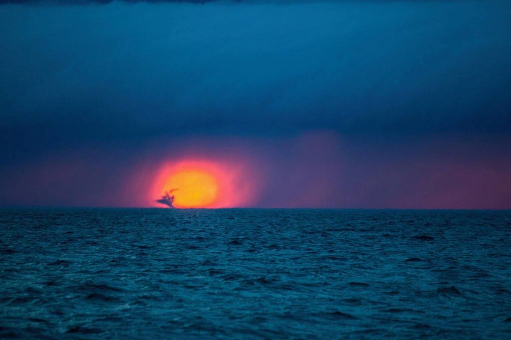
Sunset Waterspout by Kyler Phillips
The National Weather Service page on the Science of Waterspouts that says in part:
Dr. Joseph Golden, a distinguished waterspout authority with the National Oceanic and Atmospheric Administration (NOAA), defines the waterspout as a “funnel which contains an intense vortex, sometimes destructive, of small horizontal extent and which occurs over a body of water.” The belief that a waterspout is nothing more than a tornado over water is only partially true. The fact is, depending on how they form, waterspouts come in two types: tornadic and fair weather.
Tornadic waterspouts generally begin as true tornadoes over land in association with a thunderstorm, and then move out over the water. They can be large and are capable of considerable destruction. Fair weather waterspouts, on the other hand, form only over open water. They develop at the surface of the water and climb skyward in association with warm water temperatures and high humidity in the lowest several thousand feet of the atmosphere. They are usually small, relatively brief, and less dangerous. The fair weather variety of waterspout is much more common than the tornadic.
Waterspouts occur most frequently in northern Michigan during the months of August, September, and October, when the waters of the Great Lakes are near their warmest levels of the year. Waterspout formation typically occurs when cold air moves across the Great Lakes and results in large temperature differences between the warm water and the overriding cold air. They tend to last from about two to twenty minutes, and move along at speeds of 10 to 15 knots.
Kyler caught this spout when checking out a storm front as it rolled across Lake Michigan on May 31, 2017. His old Instagram is gone but I’m betting you can find him @kylerjphillips on the Gram!


Wow – that setting sun looks like it is on fire.
LikeLiked by 1 person